button to main menu   West 1784 map SD46
date  bar
Note: some of these makers maps may not show this square
Note: click on map edges for adjacent squares

West 1784 map
(Area of roughly corresponding to West 1784 map SD46 plus overlaps, North at the top; the original map is printed with East at the top)

item:-  Armitt Library : A1221.1
image:-  © see bottom of page
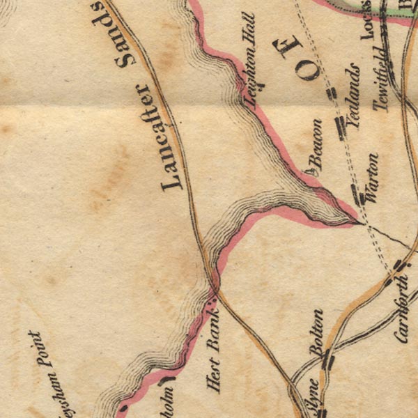
gazetteer links

places may or may not be labelled on the map

button -- beacon, Warton -- "Beacon"
button -- Hest Bank
button -- Lancaster Sands
button -- Leighton Hall

civil parishes

The area roughly includes parts of parishes:-

    Lower Allithwaite
    Lower Holker

button to Lakes menu Lakes Guides menu.
goto SD37 goto SD47 goto SD57 goto SD56 goto SD45 goto SD55 goto index sheet