Old Cumbria Gazetteer
 |
 |
|
||
| Hest Bank, Lancashire | ||||
| Hest Bank | ||||
| county:- | Lancashire | |||
| locality type:- | locality | |||
| locality type:- | buildings | |||
| coordinates:- | SD46866650 (etc) | |||
| 1Km square:- | SD4766 | |||
| 10Km square:- | SD46 | |||
|
|
||||
| evidence:- | old map:- Ogilby 1675 (plate 38) placename:- Hestbanck |
|||
| source data:- | Road strip map, hand coloured engraving, continuation of the
Road from London to Carlisle, scale about 1 inch to 1 mile, by
John Ogilby, London, 1675.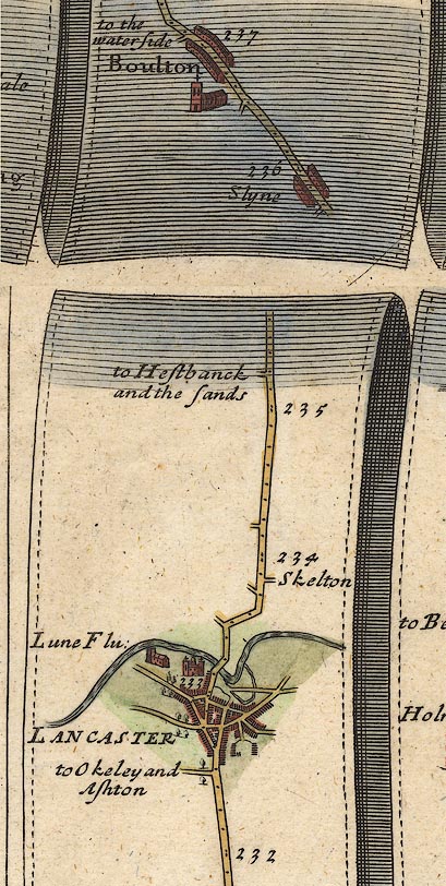 OG38m232.jpg In mile 235, Lancashire. Turning left:- "to Hestbanck and the sands" item:- JandMN : 21 Image © see bottom of page |
|||
|
|
||||
| evidence:- | old map:- West 1784 map placename:- Hest Bank |
|||
| source data:- | Map, hand coloured engraving, A Map of the Lakes in Cumberland,
Westmorland and Lancashire, scale about 3.5 miles to 1 inch,
engraved by Paas, 53 Holborn, London, about 1784.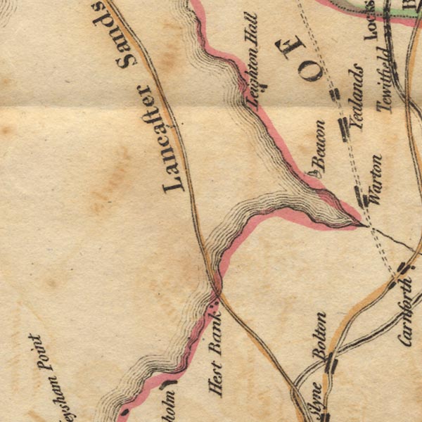 Ws02SD46.jpg item:- Armitt Library : A1221.1 Image © see bottom of page |
|||
|
|
||||
| evidence:- | descriptive text:- Baker 1802 placename:- Hest Bank |
|||
| source data:- | Perspective road map with sections in Lancashire, Westmorland,
and Cumberland, by J Baker, London 1802. pp.25-26:- "Lancaster Sands ... are 5 miles in breadth, for which a guide should be taken from Hest Bank, ..." |
|||
|
|
||||
| evidence:- | old map:- Otley 1818 placename:- Hest Bank |
|||
| source data:- | Map, uncoloured engraving, The District of the Lakes,
Cumberland, Westmorland, and Lancashire, scale about 4 miles to
1 inch, by Jonathan Otley, 1818, engraved by J and G Menzies,
Edinburgh, Scotland, published by Jonathan Otley, Keswick,
Cumberland, et al, 1833.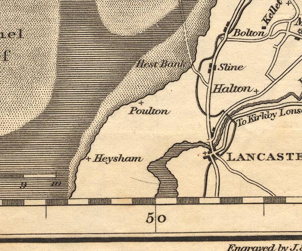 OT02SD46.jpg item:- JandMN : 48.1 Image © see bottom of page |
|||
|
|
||||
| evidence:- | descriptive text:- Ford 1839 (3rd edn 1843) placename:- Hest Bank |
|||
| source data:- | Guide book, A Description of Scenery in the Lake District, by
Rev William Ford, published by Charles Thurnam, Carlisle, by W
Edwards, 12 Ave Maria Lane, Charles Tilt, Fleet Street, William
Smith, 113 Fleet Street, London, by Currie and Bowman,
Newcastle, by Bancks and Co, Manchester, by Oliver and Boyd,
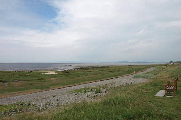
Edinburgh, and by Sinclair, Dumfries, 1839. goto source goto sourcePage 154:- "..." "Hest Bank.- A bathing-place on the edge of Morecam Bay." |
|||
|
|
||||
| evidence:- | old map:- Ford 1839 map placename:- Hest Bank |
|||
| source data:- | Map, uncoloured engraving, Map of the Lake District of
Cumberland, Westmoreland and Lancashire, scale about 3.5 miles
to 1 inch, published by Charles Thurnam, Carlisle, and by R
Groombridge, 5 Paternoster Row, London, 3rd edn 1843.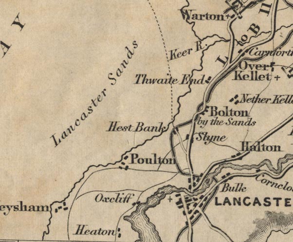 FD02SD46.jpg "Hest Bank" item:- JandMN : 100.1 Image © see bottom of page |
|||
|
|
||||
| places:- |
|
|||
|
||||
|
||||
Lakes Guides menu.