 Old Cumbria Gazetteer
 |
 |
|
| viewpoint, Hest Bank | ||
| locality:- | Hest Bank | |
| county:- | Lancashire | |
| locality type:- | viewpoint | |
| locality type:- | outline view | |
| coordinates:- | SD46816659 | |
| 1Km square:- | SD4666 | |
| 10Km square:- | SD46 | |
|
|
||
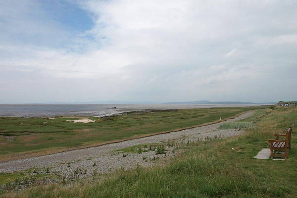 BSX54.jpg View W of N, the route of the sands road across Lancaster Sands to Kents Bank. (taken 1.7.2010) |
||
|
|
||
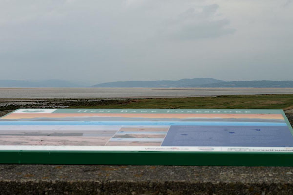 BSX56.jpg The view, in mist, as so often! (taken 1.7.2010) 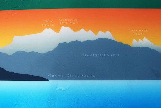 BSX57.jpg detail of the outline view, simple and helpful; Dow Crag, Old Man of Coniston, Hampsfell, Langdale Pikes, Grange-over-Sands. (taken 1.7.2010) |
||
|
|
||
| hearsay:- |
Outline view and interpretative panel set up by Slyne with Hest Parish Council. |
|
| No mention that this was a traditional start of one of the famous sands roads, across
Lancaster Sands to Kents Bank near Grange over Sands. |
||
|
|
||
 Lakes Guides menu.