 Sedgwick 1822-35

|

|
|
|
map type:- Sedgwick 1822-35 |
|
|
|
courtesy of the Sedgwick Archive
|
||
|
Notebooks, field notes, sketchbooks, maps etc, from Adam
Sedgwick's geological exploration of Westmorland, Cumberland
and Lancashire north of the sands, 1822-35.
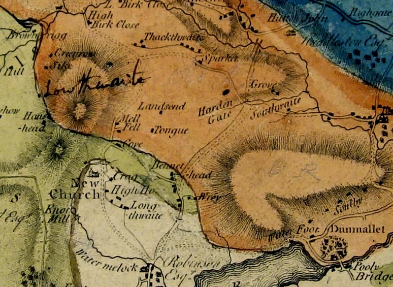
Amongst the material is a map of Cumberland geologically coloured by Adam Sedgwick. |
||
| sources:- |
Sedgwick Archive |
|
| items seen (illustrated items in bold):- | ||

|
Sedgwick Archive : map 54 -- geological map -- County of Cumberland | |
|
|
Sedgwick Archive : map 59 -- map -- County of Westmoreland -- Kendal | |
|
|
Sedgwick Archive : map A -- map fragment -- County of Cumberland | |