 Sedgwick 1822-35

|

|
|
|
item:- Sedgwick Archive : map 59 image:- © see bottom of page |
|
|
|
courtesy of the Sedgwick Archive
|
||
|
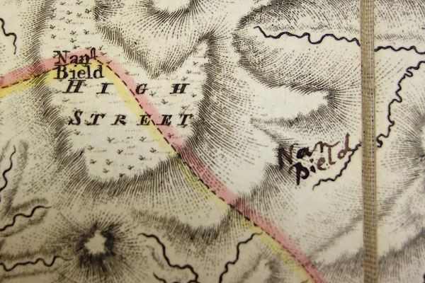
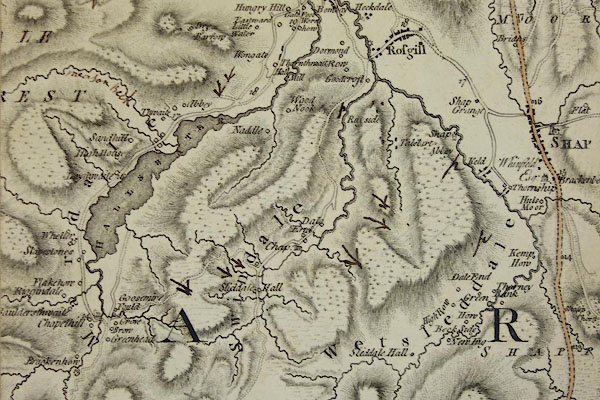
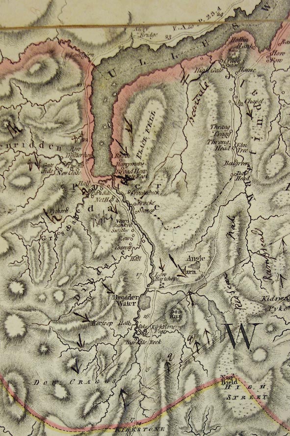
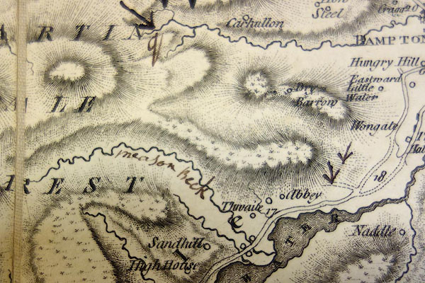
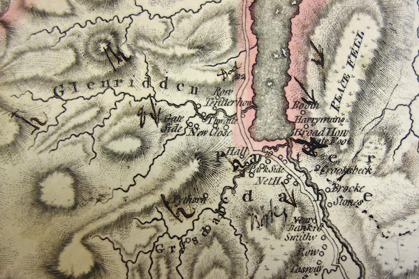
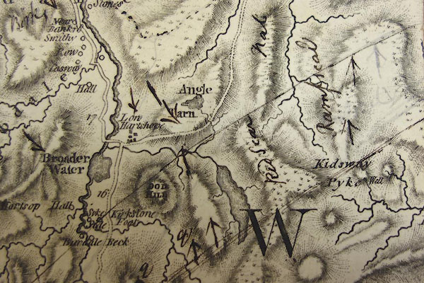
Map, hand coloured engraving, The County of Westmoreland,
scale 1 inch to 1 mile, surveyed 1768, and engraved and
published by Thomas Jefferys, 1770, published by W Faden,
Charing Cross, London, 2nd edn 1800.
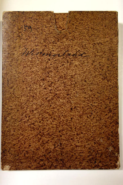
The map was engraved in 4 sheets, each is sectioned, mounted, folded, and fitted in a slip case. The map was owned by Adam Sedgwick who has made several annotations. |
||

|
Sedgwick 1822-35 | |
| inscription:- |
printed lower right
THE COUNTY / OF / WESTMORELAND, / SURVEYED / Anno MDCCLXVIII / and Engraved by / THOMAS JEFFERYS / Geographer to His / MAJESTY / MDCCLXX. |
|
| inscription:- |
printed bottom, across two pieces
LONDON February 1770 Publish'd according to Act of Parliament by T. Jefferys at the Corner of St. Martins Lane Charing Cross/ Second Edition Published by W. Faden Charing Cross July 1st. 1800. |
|
| wxh, sheet (each):- | 54.5x49cm | |
| wxh, slip case:- | 19x25.5cm | |
| scale:- | 1 to 64000 ? (estimate) | |
|
||
|
||
|
||
|
||
|
||
|
||