 Symons 1860 maps

|

|
|
|
map type:- Symons 1860 maps |
|
|
|
Maps included in a series of annual reports, British
Rainfall 1860 onwards, compiled by G J Symons, published by
Edward Stanford, 6 Charing Cross, and Simpskin, Marshall and
Co, Stationers' Hall Court, London, from 1860 to 1918.
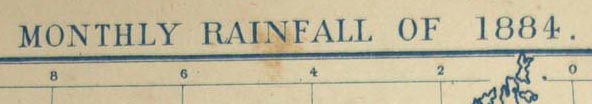
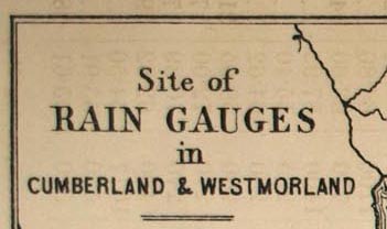
Typical titles are:- Site of Rain Gauges in Cumberland and Westmorland; Rainfall of October 6th 1874; Difference of Total Rainfall in 1880 from the Average 1870-79; Monthly Rainfall of 1884; and Distribution of Rainfall Stations in the British Isles during 1905 |
||
|
(example AMATL:A4038.1)
|
||
| inscription:- |
printed upper left
Site of / RAIN GAUGES / in / CUMBERLAND & WESTMORLAND |
|
| sources:- |
Armitt Library |
|
| items seen (illustrated items in bold):- | ||

|
Armitt Library : A4037.1 -- map -- Site of Rain Gauges in Cumberland and Westmorland | |
|
|
Armitt Library : A4038.1 -- map -- Site of Rain Gauges in Cumberland and Westmorland | |
|
|
Armitt Library : A4043.1 -- rainfall map -- Rainfall of October 6th 1874 | |
|
|
Armitt Library : A4049.1 -- rainfall map -- Difference of Total Rainfall in 1880 from the Average 1870-79 | |
|
|
Armitt Library : A4053.1 -- rainfall map -- Monthly Rainfall of 1884 | |
|
|
Armitt Library : A4074.1 -- map -- Distribution of Rainfall Stations in the British Isles during 1905 | |