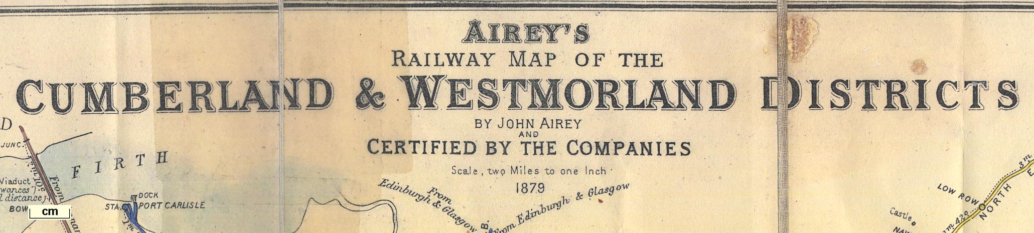
 Airey's Railway Map of the Cumberland and Westmorland
Districts
Airey's Railway Map of the Cumberland and Westmorland
Districts

|

|
|
|
map type:- Railway Clearing House 1879 |
|
|
|
Railway maps, Airey's Railway Maps, of the Cumberland and
Westmorland Districts, and of the Lancashire and District,
scale 2 miles to 1 inch, by John Airey, engraved by J P and
W R Emslie, published by the John Airey, Railway Clearing
House, London, 1879.
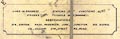
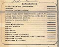
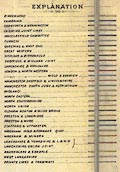
The map is certified by the railway companies. They are from a series of maps and diagrams issued by the Railway Clearing House from 1869 to 1935, covering the whole of England and Wales. Railways are tinted to indicate the railway company, listed in a table; stations and junctions are clearly marked, with distances between them; Workington and Whitehaven have enlarged inset maps; running powers and other working arrangments are tabulated. |
||
|
(map example Brunel University Library 8000)
|
||
| map feature:- | compass rose & up is N & table of symbols & sea plain & coast tinted & rivers & lakes & relief & hill hachuring & county & settlements & railways | |
| inscription:- |
printed title, upper centre
AIREY'S / RAILWAY MAP OF THE / CUMBERLAND & WESTMORLAND DISTRICTS / BY JOHN AIREY / AND / CERTIFIED BY THE COMPANIES / Scale, two Miles to one inch / 1879 |
|
| inscription:- |
printed lower left, centre, right
J.P.& W.R. EMSLIE, ENGRAVERS & LITHRS., LONDON / PUBLISHED BY J. AIREY, RAILWAY CLEARING HOUSE, LONDON. Other Maps of this Series - ... / ENTERED AT STATIONERS HALL. |
|
| wxh:- | 63x50.5cm | |
| scale:- | 1 to 126720 ? (nominal) | |
|
||
|
||
|
||
| references:- |
: 1986: Railway Maps and the Railway Clearing House & David
Garnett Collection: Brunel Unviersity Library (Uxbridge)::
ISBN 90221570 1 |
|
| sources:- |
Brunel University Library |
|
| items seen (illustrated items in bold):- | ||

|
Brunel University Library : 8000 -- railway map -- Airey's Railway Map of the Cumberland and Westmorland Districts | |
|
|
Brunel University Library : 8120 -- railway map -- Airey's Railway Map of Lancashire and District | |