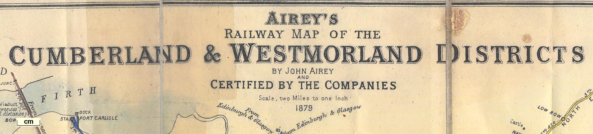
Railway maps, Airey's Railway Maps, of the Cumberland and
Westmorland Districts, and of the Lancashire and District,
scale 2 miles to 1 inch, by John Airey, engraved by J P and
W R Emslie, published by the John Airey, Railway Clearing
House, London, 1879. (Railway Clearing House 1879)
 Lakes Guides menu.