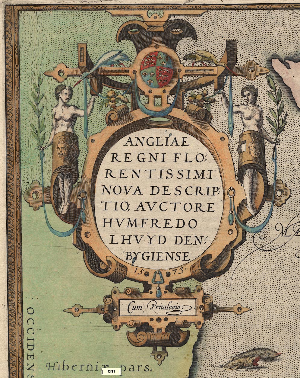
 Angliae Regni Florentissimi Nova Descriptio

|

|
|
|
map type:- Lloyd 1573 |
|
|
|
Map, Angliae Regni Florentissimi Nova Descriptio, England
and Wales, scale about 24 miles to 1 inch, by Humphrey
Lloyd, Denbigh, published by Abraham Ortelius, Netherlands,
1573.
|
||
|
(example map)
|
||
| map feature:- | picture frame border & title cartouche & strapwork cartouche & labelled borders & up is N & scale line & sea pecked & coast shaded & galleons & sea monsters & rivers & relief & hillocks & woods & forests & settlements | |
| inscription:- |
printed upper left
ANGLIAE REGNI FLORENTISSIMI NOVA DESCRIPTIO, AUCTORE HUMFREDO LHUYD DENBYGIENSIS 1573 Cum Privilegio strapwork cartouche; supported by naked goddesses, decorated with a few fruits and birds |
|
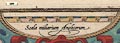
| inscription:- |
printed upper right
Scala miliarum Anglicorum |
|
| scale line:- | 80 miles = 97 mm (perhaps) | |
| scale:- | 1 to 1300000 ? (1 to 1327294 from scale line wrongly assuming statute miles) | |
| scale:- | 1 to 1500000 ? (estimate from position of a few major towns) | |
| wxh, folded sheet:- | 27.5x43cm | |
| wxh, map:- | 470x361mm | |
|
||
| sources:- |
HMCMS Map Collection |
|
| items seen (illustrated items in bold):- | ||

|
Hampshire Museums : FA1998.69 -- map -- Angliae Regni -- Kingdom of England | |