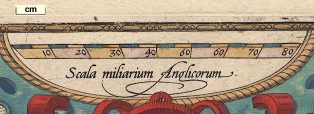
Map, Angliae Regni Florentissimi Nova Descriptio, England and Wales, scale about 24 miles to 1 inch, by Humphrey Lloyd, Denbigh, published by Abraham Ortelius, Netherlands, 1573. (Lloyd 1573)
Lakes Guides menu.
 Lakes Guides menu.