 New Map of the Lakes in Westmoreland Cumberland
Etc
New Map of the Lakes in Westmoreland Cumberland
Etc

|

|
|
|
map type:- Leigh 1830 map |
|
|
|
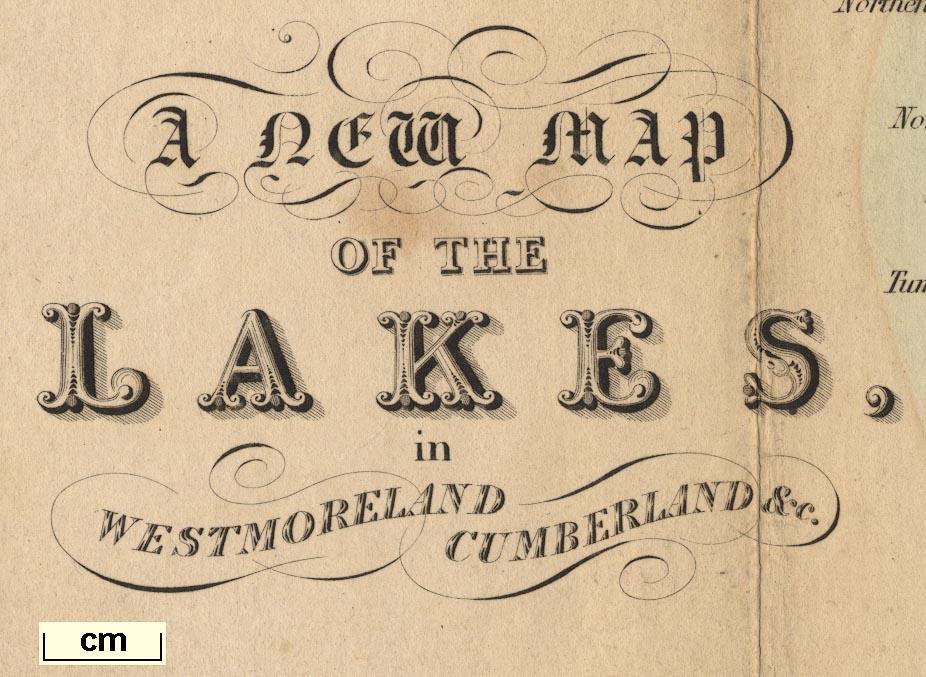
A New Map of the Lakes in Westmoreland Cumberland Etc,
scale about 4 miles to 1 inch, inserted in Leigh's Guide to
the Lakes and Mountains of Cumberland, Westmorland and
Lancashire, by M A Leigh, 3rd edn published by Leigh and
Son, 421 Strand, London, 1835.
Included in Leigh's Guide to the Lakes and Mountains of Westmoreland, Cumberland and Lancashire. And 4 small maps of parts of the Lake District:- Windermere; Grasmere Rydal and Langdale; Derwent Water and Borrowdale; and Ulles Water, each about 1.5 or 2 miles to 1 inch. Detail maps of smaller areas is a new feature for a guide book. |
||
|
Example (private collection (1_1))
|
||
| map feature:- | compass rose (minimal) & up is N & scale line & lat and long scales & sea plain & coast line & coast tinted & rivers & relief & hill hachuring & parks & county & settlements & roads & canals | |
| inscription:- |
printed title, lower left
A NEW MAP / OF THE / LAKES, / in / WESTMORELAND CUMBERLAND &c. |
|
| scale line:- | 8 miles = 51.3 mm | |
| scale:- | 1 to 250000 ? (1 to 250970 from scale line) | |
| wxh, map:- | 353x517mm | |
|
||
| sources:- |
JandMN Collection Bicknell 1990 |
|
| items seen (illustrated items in bold):- | ||

|
JandMN (1_1) -- map -- New Map of the Lakes in Westmoreland Cumberland Etc | |
|
|
JandMN (1_2) -- map -- Windermere | |
|
|
JandMN (1_3) -- map -- Grasmere Rydal and Langdale | |
|
|
JandMN (1_4) -- map -- Derwent Water and Borrowdale | |
|
|
JandMN (1_5) -- map -- Ulles Water | |