 County of Cumberland

|

|
|
|
map type:- Faden 1810 |
|
|
|
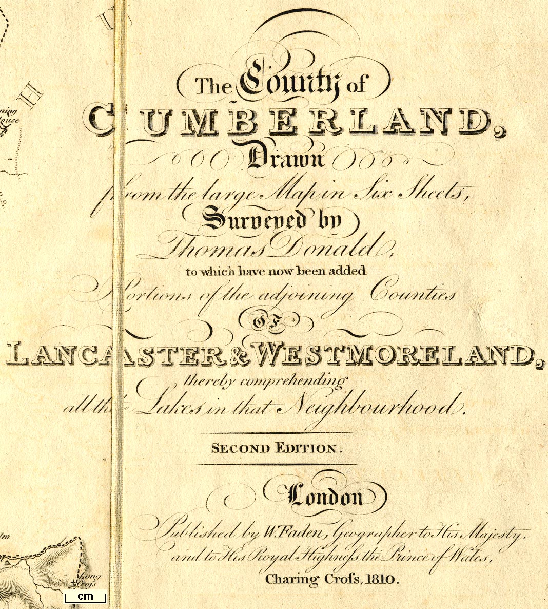
Map, The County of Cumberland, and parts of Lancaster and
Westmorland making a map of The Lakes, scale about 2 miles
to 1 inch, surveyed by Thomas Donald, 1770-71, published by
William Faden, Charing Cross, London, 1810.
This is a version of the half inch map published 1783, with added material. Images of the map courtesy of the Sedgwick Archive. |
||

|
Donald 1783 | |
|
(example Sedgwick Archive : Map 70)
|
||
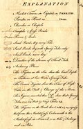
| map feature:- | sectioned for folding & mounted & folded (7x3) & slip case & table of symbols & compass rose & rhumb lines & up is NW & scale line & lat and long scales & sea plain & depth soundings & anchorages & foreshore sands & coast line & rivers & lakes & relief & hill hachuring & woods & trees & forests & parks & county & wards & table of wards & settlements & roads & road distances | |
| inscription:- |
printed right centre
The County of / CUMBERLAND, / Drawn / from the large Map in Six Sheets, / Surveyed by / Thomas Donald, / to which have been added / Portions of the adjoining Counties / OF / LANCASTER & WETSMORELAND, / thereby comprehending / all the Lakes in that Neighbourhood. / SECOND EDITION. // London / Published by W. Faden, Geographer to His Majesty, / and to His Royal Highness the Prince of Wales, / Charing Cross, 1810. |
|
| inscription:- |
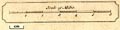
printed with scale line
Scale of Statute Miles |
|
| scale line:- | 6 miles = 74.8 mm | |
|
||
|
||
| sources:- |
Sedgwick Archive |
|
| items seen (illustrated items in bold):- | ||
|
|
Sedgwick Archive : map 70 -- map -- County of Cumberland | |