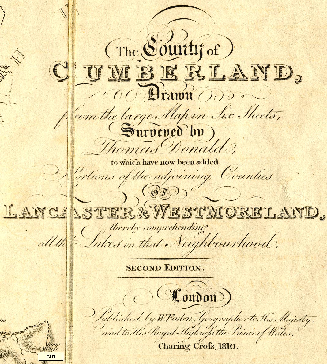
Map, The County of Cumberland, and parts of Lancaster and
Westmorland making a map of The Lakes, scale about 2 miles
to 1 inch, surveyed by Thomas Donald, 1770-71, published by
William Faden, Charing Cross, London, 1810. (Faden 1810)
 Lakes Guides menu.