 County of Cumberland

|

|
|
|
map type:- Donald 1783 |
|
|
|
Map, The County of Cumberland, scale about 2 miles to 1
inch, surveyed by Thomas Donald, 1770-71, published by
Thomas Donald and Joseph Hodskinson, 35 Arundel Street,
Strand, London, 1783.
This is a reduced version on one sheet of the 6 sheet 1 inch to 1 mile map published from 1774. Published as a 2nd edn by William Faden, Charing Cross, London, 1810. Published in a 3rd edn by James Wyld. |
||

|
Donald 1774 | |
|
|
Faden 1810 | |
|
(example Carlisle Library (138))
|
||
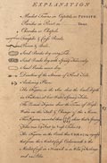
| map feature:- | sectioned for folding & mounted & folded (4x4) & slip case (covered in marbled paper) & table of symbols & dedication & compass rose & rhumb lines & up is NW & scale line & lat and long scales & sea plain & depth soundings & foreshore sands & coast line & rivers & lakes & relief & hill hachuring & woods & trees & forests & parks & county & wards & table of wards & settlements & roads & road distances | |
| inscription:- |
printed lower centre
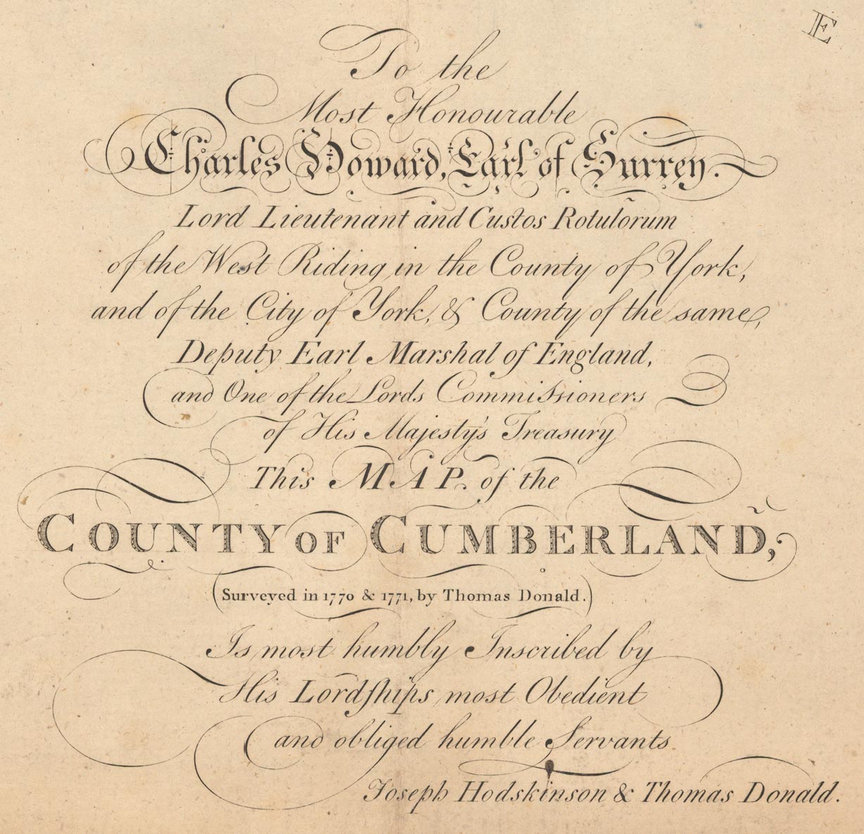
To The / Most Honourble / Charles Howard, Earl of Surrey. / Lord Lieutenant and Custos Rotulorum / of the West Riding in the County of York, / and the City of York, & County of the same, / Deputy Earl Marshall of England, / and One of the Lords Commissioners / of His Majesty's Treasury / This MAP of the / COUNTY of CUMBERLAND, / (Surveyed in 1770 & 1771, by Thomas Donald.) / is most humbly Inscribed by / His Lordships most Obedient / and obliged humble Servants / Joseph Hodskinson & Thomas Donald. |
|
| inscription:- |
printed bottom
London. Publish'd Sepr. 1st. 1783, by J. Hodskinson & T. Donald No.35 Arundel Street, Strand. |
|
| wxh, sheet:- | 86.5x65cm | |
| wxh, map:- | 845x624mm | |
| inscription:- |
printed with scale line
Scale of Statute Miles |
|
| scale line:- | 10+1 miles = 136.0 mm (approx) | |
| scale:- | 1 to 130000 ? (1 to 130168 from scale line, assuming a statute mile) | |

|
||
|
||
| sources:- |
National Library of Scotland Carlisle Library Maps |
|
| items seen (illustrated items in bold):- | ||
|
|
Carlisle Library : Map 10 -- map -- County of Cumberland | |
|
|
Carlisle Library : Map 11 -- map -- County of Cumberland | |
|
|
National Library of Scotland : EME.s.118 -- map -- County of Cumberland | |