 Cary 1809

|

|
|
|
map type:- Cary 1809 |
|
|
|
Maps, Westmoreland, scale about 5 miles to 1 inch, and
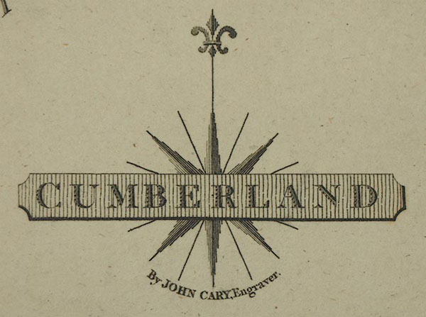
Cumberland? by John Cary, 181 Strand, London, 1809 or later
edition.
From the re-engraved edition of Cary's New and Correct English Atlas, 1787, qv; note that the plate mark is a half inch outside the map border. There is a page of descriptive text with each map. Maps in the atlas, except Westmorland, are dated in the imprint. Published in editions, 1812, 1818, 1821. Published in other editions, from 86 St James's Street, 1823, 1827, 1831. |
||

|
Cary 1787 | |
|
(example JandMN (317))
|
||
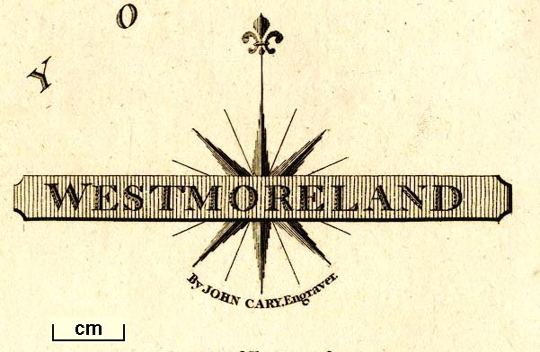
| map feature:- | title cartouche & plain cartouche & compass rose & up is N & scale line & lat and long scales & coast form lines & rivers & lakes & relief & hill hachuring & forests & parks & county & settlements & roads & canals | |
| inscription:- |
printed lower right in and below plain cartouche
WESTMORELAND / By JOHN CARY, Engraver. |
|
| wxh, sheet:- | 31.5x25.5cm | |
| wxh, plate:- | 289x240mm | |
| wxh, map:- | 264x213mm | |
| inscription:- |
printed with scale line
Scale of Statute Miles 69 1/2 to a Degree |
|
| scale line:- | 10 miles = 50.1 mm | |
| scale:- | 1 to 320000 ? (1 to 321226 from scale line assuming a statute mile) | |
|
||
| sources:- |
Chubb 1927 (CCLXIV and CCLX) JandMN Collection Carlisle Library Maps |
|
| items seen (illustrated items in bold):- | ||
|
|
Carlisle Library : Map 144 -- map -- Cumberland | |
|
|
Carlisle Library : Map 180 -- map -- Westmoreland | |
|
|
JandMN (317) -- map -- Westmoreland | |