 Bacon c1907

|

|
|
|
map type:- Bacon c1907 |
|
|
|
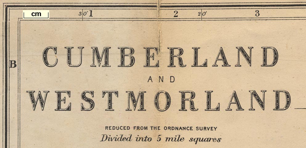
Railway map and political map, colour printed, Cumberland
and Westmorland, scale about 3.5 miles to 1 inch, by G W
Bacon and Co, 127 Strand, London, about 1907.
Includes part of Lancashire north of the sands. The date is a guess, the style of the title is very like the Bacon 1907 map. |
||
|
(map example private collection (40))
|
||
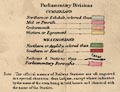
| map feature:- | mounted & folded (6x4) & card covers & table of symbols & up is N & scale line & lat and long scales & index grid & sea plain & coast line & rivers & lakes & relief & hill hachuring & woods & forests & trees & parks & county & electoral data & settlements & roads & railways & canals | |
| inscription:- |
printed upper left
CUMBERLAND / AND / WESTMORLAND / REDUCED FROM THE ORDNANCE SURVEY / Divided into 5 mile squares |
|
| inscription:- |
printed bottom left
G. W. Bacon & Co. 127 Strand, London. |
|
| wxh, sheet:- | 48x55.5cm | |
| wxh, map:- | 443x527mm | |
| wxh, folded:- | 9x16.5cm | |
| wxh, cover:- | 10x17cm | |
| scale line:- | 10 miles = 75.0 mm | |
| scale:- | 1 to 210000 ? (1 to 214579 from scale line) | |
|
||
|
||
| sources:- |
private collection |
|
| items seen (illustrated items in bold):- | ||

|
JandMN (377) -- railway map -- Cumberland and Westmorland | |
|
|
private collection (40) -- railway map -- Cumberland and Westmorland | |