 Aikin 1790

|

|
|
|
map type:- Aikin 1790 |
|
|
|
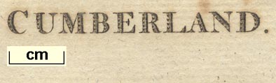
Maps, Westmoreland, scale about 8.5 miles to 1 inch, and
Cumberland, by John Aikin, London, 1790; published 1790 to
1803.
Published in 'England Delineated; or, a Geographical Description of every county in England and Wales [by J. Aikin] ... Second edition ... London: printed by T. Bensley; for J. Johnson, St. Paul's Church-Yard, M,DCC,XC.' ie 1790. The atlas has a map of England, and of North and South Wales, and county maps; the county maps, labelled with the county name, are simple outlines with named rivers and some forests etc, and a few towns; the atlas size is 4 1/2 x 7 1/2 ins. There were editions in 1795, 1800, 1803; the first edition, 1788, has no maps. |
||
|
(map example JandMN (51))
|
||
| map feature:- | up is N (no indicator) & (no scale line) & coast form lines & rivers (main rivers named) & (no relief, except label 'Fells') & county (dotted line boundary, adjacent counties named) & settlements (main towns only) | |
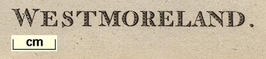
| inscription:- |
printed lower right
WESTMORELAND |
|
| wxh, sheet:- | 18.5x12cm | |
| references:- |
Aikin, John: 1788 & 1790 & 1795 & 1800 & 1803: England
Delineated & Geographical Description of Every County in
England and Wales: Johnson, J (London) |
|
| sources:- |
Chubb 1927 (CCLXXXVI) JandMN Collection Wordsworth Trust Collection Armitt Library |
|
| items seen (illustrated items in bold):- | ||

|
Armitt Library : ALMC2008.14.25 -- map -- Westmoreland | |
|
|
Dove Cottage : 2007.38.58 -- map -- Westmoreland | |
|
|
Dove Cottage : 2009.81.11 -- map -- Cumberland | |
|
|
JandMN (51) -- map -- Westmoreland | |
|
|
JandMN (145) -- map -- Cumberland | |