 Andrews 1797

|

|
|
|
item:- National Library of Scotland : EU18.H (11) image:- © National Library of Scotland |
click to enlarge |
|
|
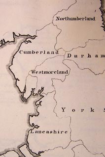
Map, uncoloured engraving, England Divided according to
the West Saxons, Danes and Mercians Laws, scale about 37
miles to 1 inch, by John Andrews, 211 Piccadilly, London,
1797.
Plate 11 opposite p.96 of the Historical Atlas of England. |
||

|
Andrews 1797 | |
| map feature:- | up is N & lat and long scales (from St Paul's, London, conical projection) & sea plain & coast shaded (?) & county | |
| inscription:- |
printed title, upper right
ENGLAND / divided according / to the / WEST SAXONS, DANES / and / MERCIANS LAWS / by J. Andrews. |
|
| inscription:- |
printed bottom, right and centre
Drawn & Engraved by J. Andrews / Publish'd as the Act directs June 17. 1797. by J. Andrews |
|
| scale:- | 1 to 2300000 ? (5d latitude = 240mm) | |
| wxh, map:- | 250x318mm | |