item:- National Library of Scotland : EU18.H.11
image:- © National Library of Scotland
 AD2M11.jpg
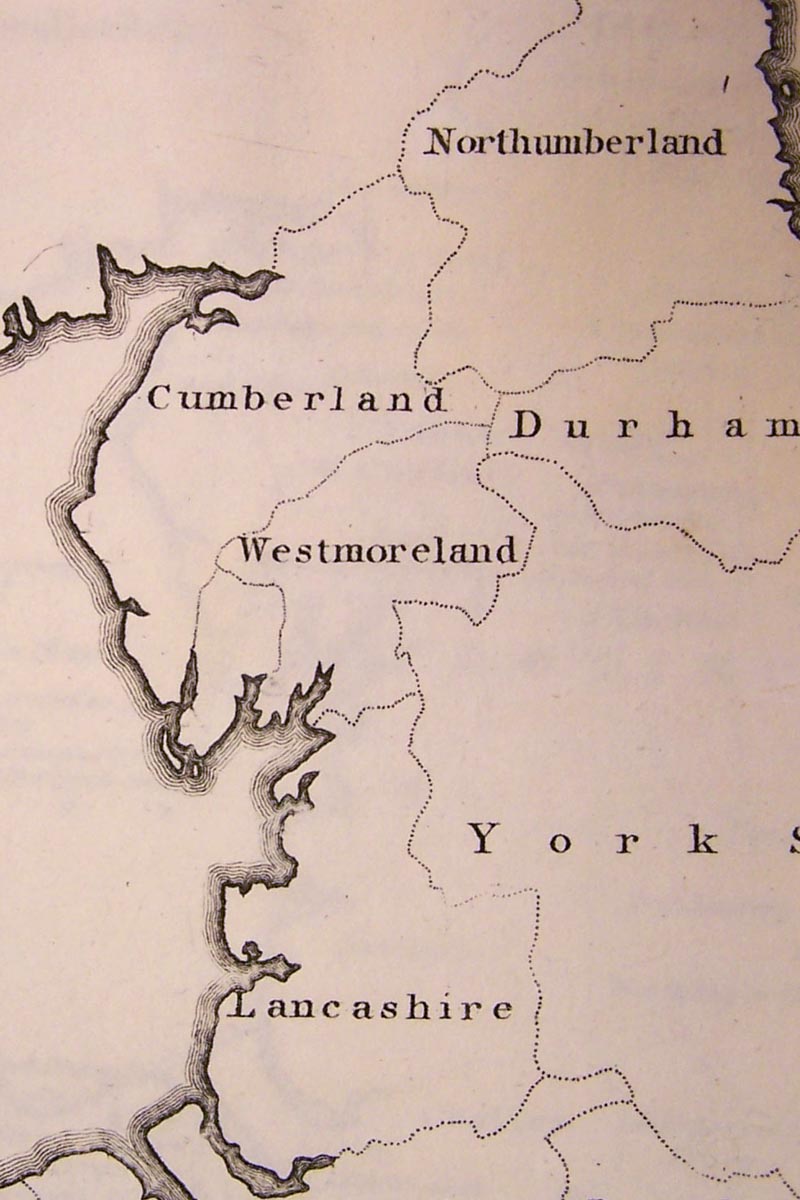
Map, uncoloured engraving, England Divided according to the West
Saxons, Danes and Mercians Laws, scale about 37 miles to 1 inch,
by John Andrews, 211 Piccadilly, London, 1797.
 Lakes Guides menu.