 Gibson 1766

|

|
|
|
item:- Dove Cottage : 2007.38.3 image:- © see bottom of page |
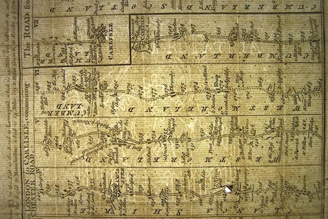
click to enlarge |
|
|
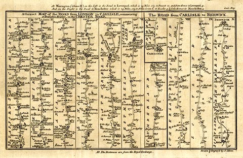
Road strip map, uncoloured engraving, A Correct Map of
the Road from London to Carlisle and The Road from Carlisle
to Berwick, scale roughly 3.5 miles to 1 inch, by John
Gibson, published in the Gentleman's Magazine, London,
1765-66.
The map is arranged in scrolls, number I to X. London to Carlisle - from Darlaston Bridge, Staffordshire; through Cheshire; to Lancaster, Lancashire; then Burton, Kendal, Shap, Westmorland; to Penrith and Carlisle, Cumberland. Carlisle to Berwick - from Carlisle, Cumberland, across Kershope Burn and through Jedburgh, Kelso, Scotland; to Berwick, Northumberland. |
||

|
Gibson 1766 | |
| map feature:- | plain cartouche & up is destination & rivers & relief & hillocks & parks & county & settlements & roads & road distances & distances from London | |
| inscription:- |
printed top right
Gent : Mag : |
|
| inscription:- |
printed title cartouche, top
A Correct MAP of the ROAD from LONDON to CARLISLE, commencing / at Darlaston Bridge, in the CHESTER ROAD. / The ROAD from CARLISLE to BERWICK. |
|
| inscription:- |
printed bottom right
Drawn & Engrav'd by J. Gibson. |
|
| inscription:- |
water mark:
PRO PATRIA ... lion, ring of fence palings for a park, etc? |
|
| wxh, sheet:- | 31x20.5cm | |
| wxh, map:- | 287x173mm | |
| scale:- | 1 to 240000 ? (estimated from road distances) | |
|
||
|
|
notes | |