


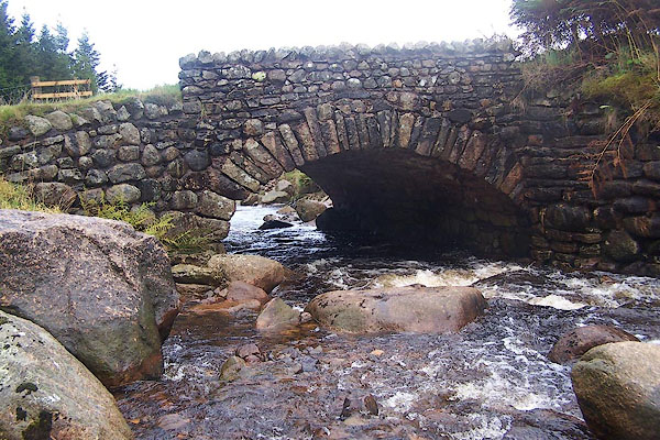
BMT14.jpg On an old route of Kendal to Shap.
(taken 6.10.2006)
placename:- Wasdale Old Bridge
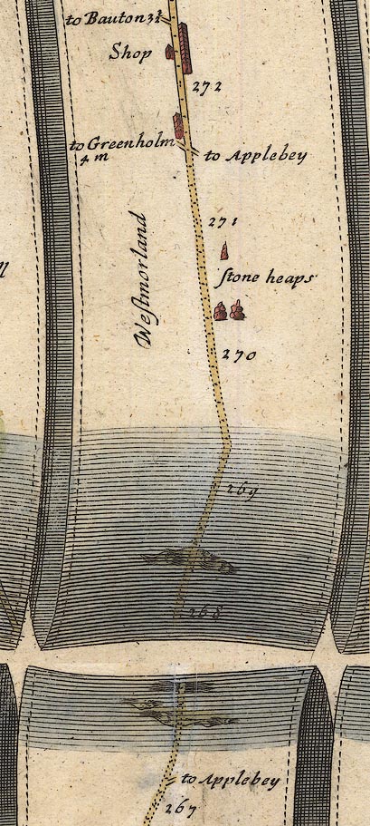
OG38m267.jpg
In mile 267, Westmorland.
River crossed by the road, no bridge drawn.
item:- JandMN : 21
Image © see bottom of page
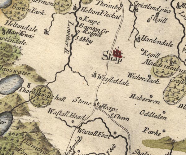
MD10NY51.jpg
Bridge, unclear road river crossing.
item:- JandMN : 24
Image © see bottom of page
placename:- Wastal Bridge
item:- rebellion, 1745; 1745 Rebellion
 goto source
Gentleman's Magazine 1745 p.625 "... ..."
"... that from their [rebels, 1745] first entering England, till they came to Derby, they seem's resolv'd upon marching directly to London; but that at Derby, having heard how the D. of Cumberland's army was posted, a council of war was call'd, in which it was resolv'd to return by Carlisle into Scotland; ..."
"Appleby, Dec. 14. In obedience to a letter sent to the deputy-lieutenants of Westmorland and Cumberland, by his R.H. the D. of Cumberland, requiring them, by all means, to retard and obstruct the march of the rebels thro' thos two counties, a resolution had just been taken to raise part of the county to demolish Wastal bridge, to make the road from Kendal to Shap impassable for the artillery of the rebels, or any wheel-carriages; and for the same reason to break up the road down Graridge Hawse; whereby it is hoped their march may be so far retarded, as to give time to his R.H.'s army to come up with them, before they can get clear of these counties. ..."
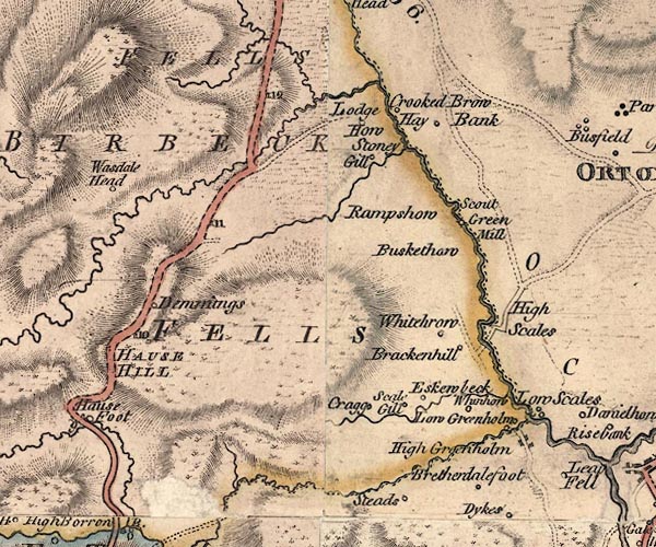
J5NY50NE.jpg
double line, road, across a stream; bridge
item:- National Library of Scotland : EME.s.47
Image © National Library of Scotland
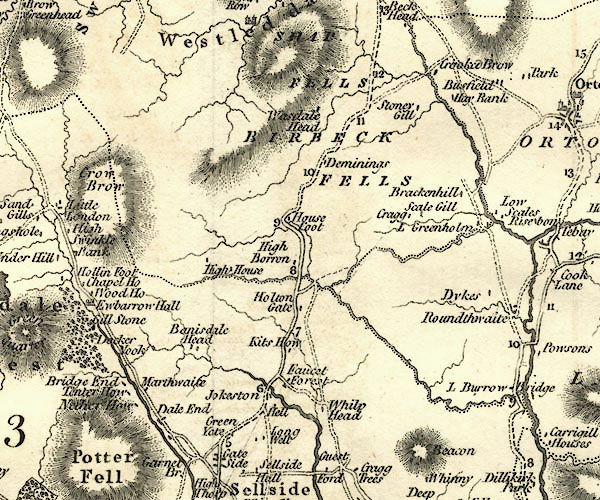
CY24NY50.jpg
road across a stream; bridge over the Wasdale Beck
item:- JandMN : 129
Image © see bottom of page
placename:- Wasdale Bridge
item:- geology
 goto source
Page 151:- "... Another variety of granite with reddish felspar in large crystals, is found on Shap Fells, and may be observed in situ on the road side near Wasdale Bridge, about four miles south of Shap."
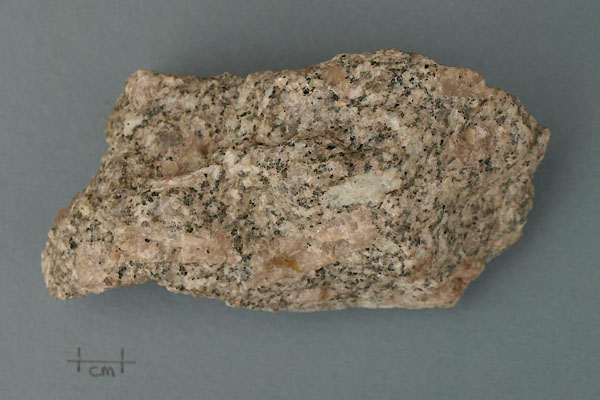
BXO45.jpg Rock, hand specimen of a igneous rock, Shap granite, a porphyry, from the streambed at Wasdale Old Bridge, Shap Rural, Westmorland, NY56470835, 24 August 2012.
Lower Devonian.
The grey crystals are quartz; silcon dioxide, Si02.
The white crystals are feldspars; sodium aluminium silicate, NaAlSi3O8, or potassium aluminium silicate, KAlSi3O8, or calcium aluminium silicate, CaAl2Si2O3.
The black crystals are biotie or perhaps hornblende, complicated lattice silicates.
This is a porphyry; the larger pink crystals are orthoclase feldspar; these phenocrysts indicate a very slow cooling of the igneous intrusion.
(taken 24.8.2008)
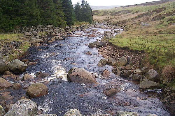
BMT15.jpg View of river.
(taken 6.10.2006)
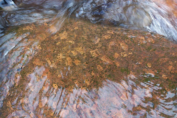
BMT16.jpg View of river.
Shap granite in the stream bed at Wasdale Old Bridge. note, these have been washed downstream from their original bed.
(taken 6.10.2006)
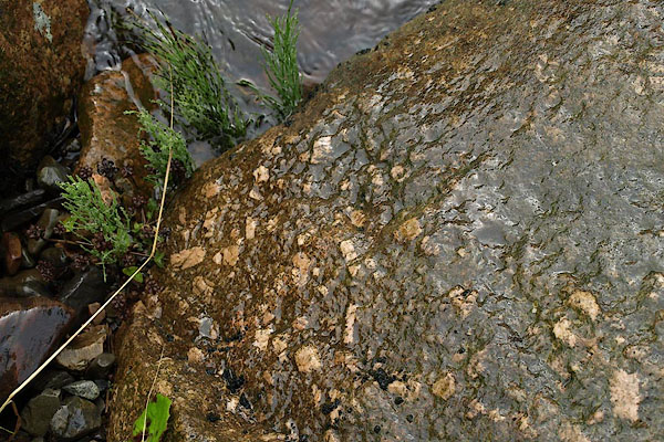
BPQ26.jpg View of river.
Shap granite in the stream bed at Wasdale Old Bridge, note, these have been washed downstream from their original bed.
(taken 24.8.2008)
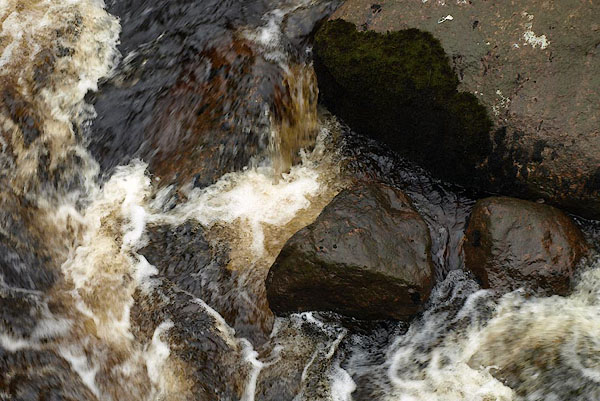
BPQ27.jpg View of river.
Rocks and water at Wasdale Old Bridge.
(taken 24.8.2008)
