


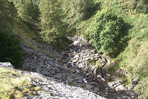
BOB81.jpg High up by the quarry.
(taken 3.9.2007)
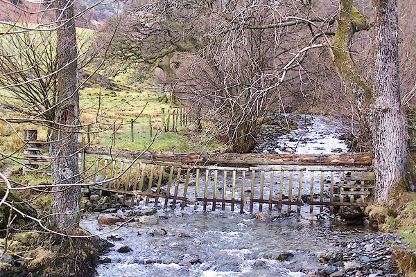
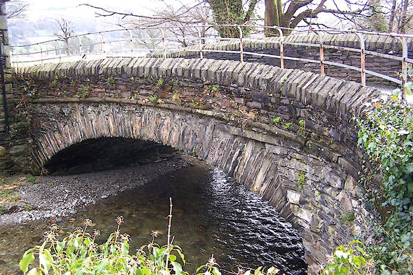
BLV43.jpg Upstream from Shepherd's Bridge.
(taken 13.4.2006)
placename:- Yewdale Beck
OS County Series (Lan 1 16)
 goto source
Page 54:- "..."
"The feeder of this lake [Coniston Water], besides the Black-beck of Torver, is Coniston-beck. It decends (sic) from the mountains, or rather is precipitated, in a short course to the lake, which it enters on the western canton in a clear stream, concealed by its banks."
placename:- Yewdale Beck
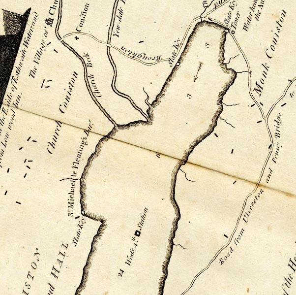
CTESD39D.jpg
"Yew-dale Beck"
item:- JandMN : 182.5
Image © see bottom of page
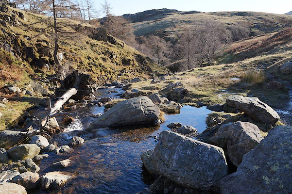
BZQ66.jpg (taken 19.11.2013)
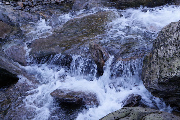
BZQ64.jpg At the bottom of Tilberthwaite Gill,
(taken 19.11.2013)
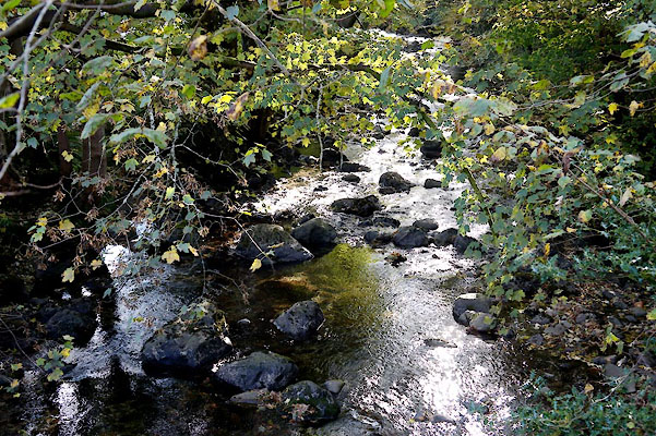
BZL04.jpg At Shepherd Bridge,
(taken 15.10.2013)
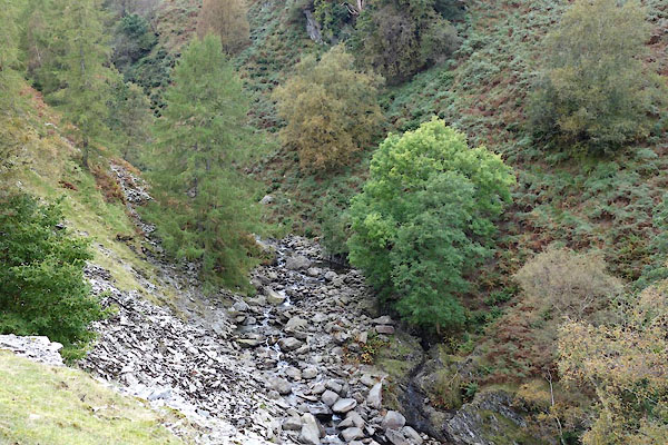
BZN54.jpg (taken 15.10.2013)
 |
SD30649748 Bannock Stone Bridge (Coniston) |
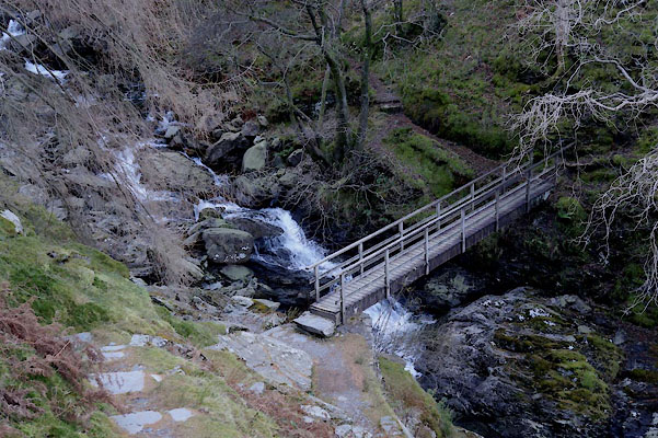 |
NY30320068 footbridge, Tilberthwaite (Coniston) |
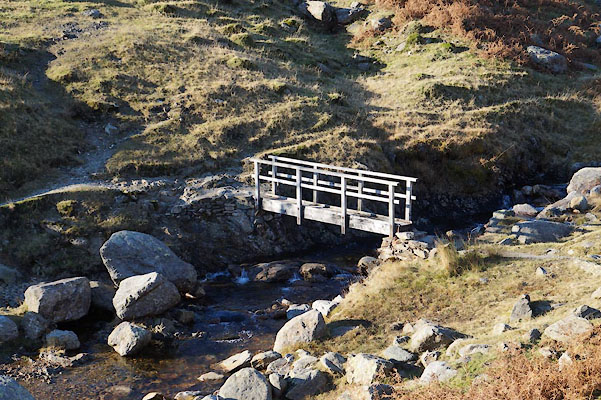 |
NY29950081 footbridge, Tilberthwaite (2) (Coniston) |
 |
NY30610104 Gill Bridge (Coniston) |
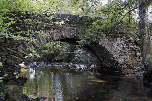 |
SD30489782 Shepherd Bridge (Coniston) |
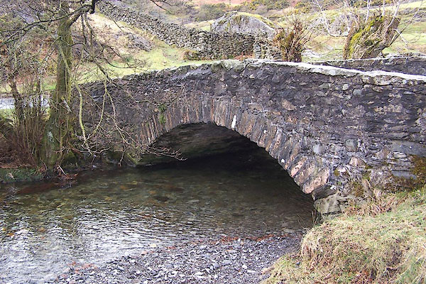 |
SD31439988 Shepherd's Bridge (Lakes) L |
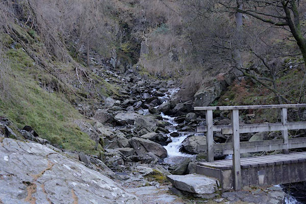 |
NY30120070 Tilberthwaite Gill (Coniston) |
 |
SD30579763 Yewdale Bridge (Coniston) |
