Old Cumbria Gazetteer
 |
 |
|
||
| Styhead Gill | ||||
| runs into:- |  Derwent, River Derwent, River |
|||
|
|
||||
| locality:- | Sty Head | |||
| civil parish:- | Borrowdale (formerly Cumberland) | |||
| county:- | Cumbria | |||
| locality type:- | river | |||
| 1Km square:- | NY2210 | |||
| 10Km square:- | NY21 | |||
|
|
||||
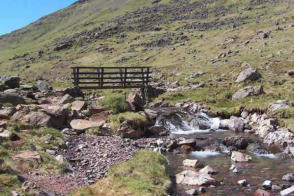
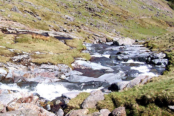
 BNM89.jpg (taken 4.4.2007) 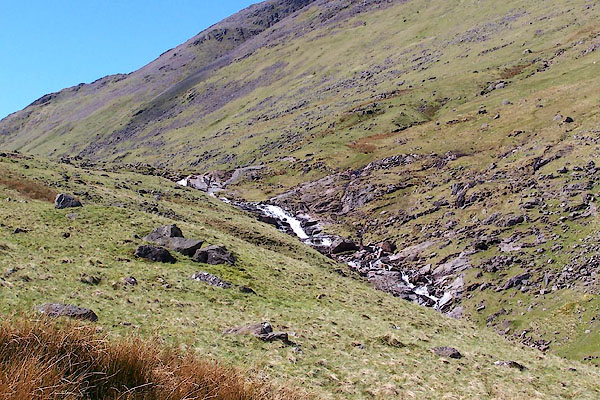 BQO07.jpg (taken 12.5.2009) |
||||
|
|
||||
| evidence:- | old map:- OS County Series (Cmd 74 8) placename:- Styhead Gill |
|||
| source data:- | Maps, County Series maps of Great Britain, scales 6 and 25
inches to 1 mile, published by the Ordnance Survey, Southampton,
Hampshire, from about 1863 to 1948. |
|||
|
|
||||
| evidence:- | old map:- Donald 1774 (Cmd) |
|||
| source data:- | Map, hand coloured engraving, 3x2 sheets, The County of Cumberland, scale about 1
inch to 1 mile, by Thomas Donald, engraved and published by Joseph Hodskinson, 29
Arundel Street, Strand, London, 1774.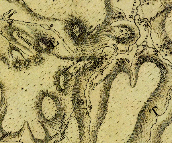 D4NY21SW.jpg single or double wiggly line; a river item:- Carlisle Library : Map 2 Image © Carlisle Library |
|||
|
|
||||
| evidence:- | old text:- Green 1810 |
|||
| source data:- | Set of prints, soft ground etchings, Sixty Studies from Nature,
by William Green, Ambleside, Westmorland, drawn 1808-10,
published 1810. goto source page 78:- "... The source of the river passing under this bridge [Folly Bridge] is in Sprinkling Tarn, which, decending the mountain Sprinkling, unites itself with Sty Head Tarn; and having reached the valley, winds between the village of Seathwaite and" page 79:- "the Black Lead Mines, to Folly Bridge, ..." |
|||
|
|
||||
| evidence:- | descriptive text:- Otley 1823 (5th edn 1834) item:- fishing |
|||
| source data:- | Guide book, A Concise Description of the English Lakes, the
mountains in their vicinity, and the roads by which they may be
visited, with remarks on the mineralogy and geology of the
district, by Jonathan Otley, published by the author, Keswick,
Cumberland now Cumbria, by J Richardson, London, and by Arthur
Foster, Kirkby Lonsdale, Cumbria, 1823; published 1823-49,
latterly as the Descriptive Guide to the English Lakes. goto source Page 37:- "... Sty-head Tarn ... The stream running from thence towards Seathwaite, has some fine frothy breaks, and one grand waterfall, before it reaches the bottom of [the vale.]" |
|||
|
|
||||
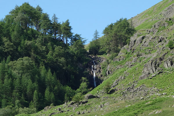
| evidence:- | perhaps old print:- Rose 1832-35 |
|||
| source data:- | Print, engraving, Waterfall, near Sty Head, Cumberland, by Thomas Allom, engraved
by S Lacey, 1833.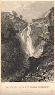 click to enlarge click to enlargeR265.jpg "Waterfall, near Sty Head, Cumberland" From the text description this could be Taylorgill Force on Styhead Gill. item:- JandMN : 96.20 Image © see bottom of page |
|||
|
|
||||
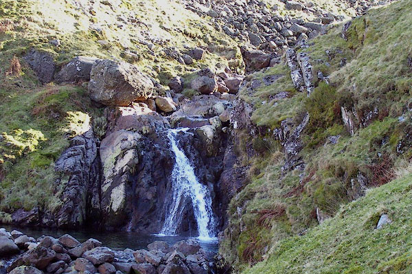
 BQO08.jpg (taken 12.5.2009) 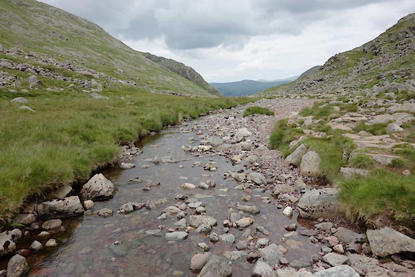 CAZ09.jpg At Airey's Bridge, which has gone, (taken 23.6.2014) |
||||
|
|
||||
| places:- |
|
|||
|
||||
|
||||
Lakes Guides menu.