 Old Cumbria Gazetteer
 |
 |
|
| Airey's Bridge, Borrowdale | ||
| Airey's Bridge | ||
| site name:- | Styhead Gill | |
| civil parish:- | Borrowdale (formerly Cumberland) | |
| county:- | Cumbria | |
| locality type:- | bridge | |
| coordinates:- | NY22431045 (?) | |
| 1Km square:- | NY2210 | |
| 10Km square:- | NY21 | |
| references:- | OS County Series |
|
|
|
||
 CAZ09.jpg Where the bridge was. (taken 23.6.2014) |
||
|
|
||
| evidence:- | old map:- OS County Series (Cmd 74) placename:- Airey's Bridge |
|
| source data:- | Maps, County Series maps of Great Britain, scales 6 and 25
inches to 1 mile, published by the Ordnance Survey, Southampton,
Hampshire, from about 1863 to 1948. "Airey's Bridge" |
|
|
|
||
| evidence:- | old map:- OS County Series (Cmd 74 8) placename:- Airy's Bridge |
|
| source data:- | Maps, County Series maps of Great Britain, scales 6 and 25
inches to 1 mile, published by the Ordnance Survey, Southampton,
Hampshire, from about 1863 to 1948. |
|
|
|
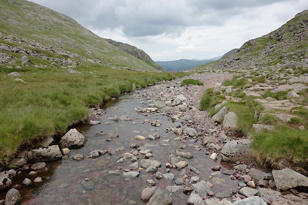
||
CAZ09.jpg View of river. (taken 23.6.2014) |
||
|
|
||
 Lakes Guides menu.