| source data:- |
Guide book, A Concise Description of the English Lakes, the
mountains in their vicinity, and the roads by which they may be
visited, with remarks on the mineralogy and geology of the
district, by Jonathan Otley, published by the author, Keswick,
Cumberland now Cumbria, by J Richardson, London, and by Arthur
Foster, Kirkby Lonsdale, Cumbria, 1823; published 1823-49,
latterly as the Descriptive Guide to the English Lakes.
 goto source goto source
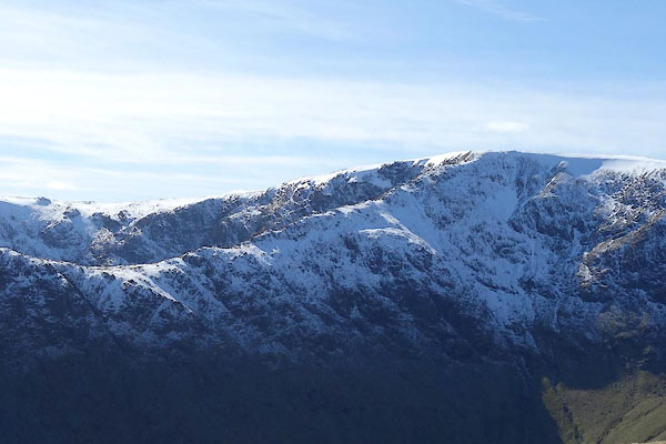
Page 115:- "... and High Street. From ... which a narrow ridge, called Long Stile, projects so
far as to seclude it [Mardale Green] from the other parts of the valley; and beyond
this rises the apex of Kidstow Pike. ..."
|


 goto source