Old Cumbria Gazetteer
 |
 |
|
||
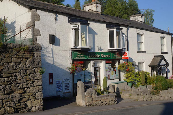
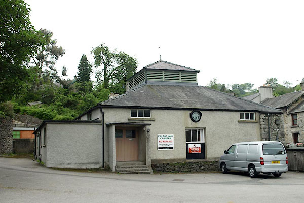
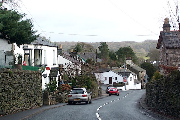
| Lindale, Upper Allithwaite | ||||
| Lindale | ||||
| civil parish:- | Upper Allithwaite (formerly Lancashire) | |||
| county:- | Cumbria | |||
| locality type:- | locality | |||
| locality type:- | buildings | |||
| coordinates:- | SD41618054 (etc) | |||
| 1Km square:- | SD4180 | |||
| 10Km square:- | SD48 | |||
|
|
||||
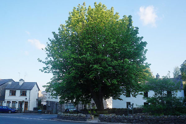
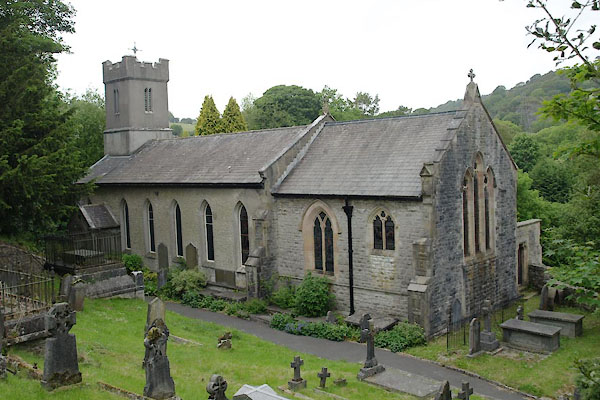
 BLM86.jpg (taken 31.12.2005) |
||||
|
|
||||
| evidence:- | old map:- West 1784 map placename:- Lindal |
|||
| source data:- | Map, hand coloured engraving, A Map of the Lakes in Cumberland,
Westmorland and Lancashire, scale about 3.5 miles to 1 inch,
engraved by Paas, 53 Holborn, London, about 1784.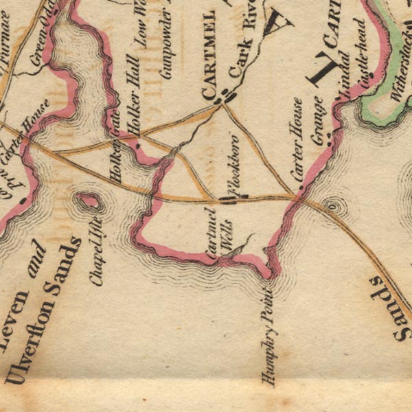 Ws02SD37.jpg item:- Armitt Library : A1221.1 Image © see bottom of page |
|||
|
|
||||
| evidence:- | old map:- Laurie and Whittle 1806 placename:- Lindale |
|||
| source data:- | Road map, Completion of the Roads to the Lakes, scale about 10
miles to 1 inch, by Nathaniel Coltman? 1806, published by Robert
H Laurie, 53 Fleet Street, London, 1834. click to enlarge click to enlargeLw18.jpg "Lindale 261½" village or other place; distance from London item:- private collection : 18.18 Image © see bottom of page |
|||
|
|
||||
| evidence:- | old map:- Otley 1818 placename:- Lindal |
|||
| source data:- | Map, uncoloured engraving, The District of the Lakes,
Cumberland, Westmorland, and Lancashire, scale about 4 miles to
1 inch, by Jonathan Otley, 1818, engraved by J and G Menzies,
Edinburgh, Scotland, published by Jonathan Otley, Keswick,
Cumberland, et al, 1833.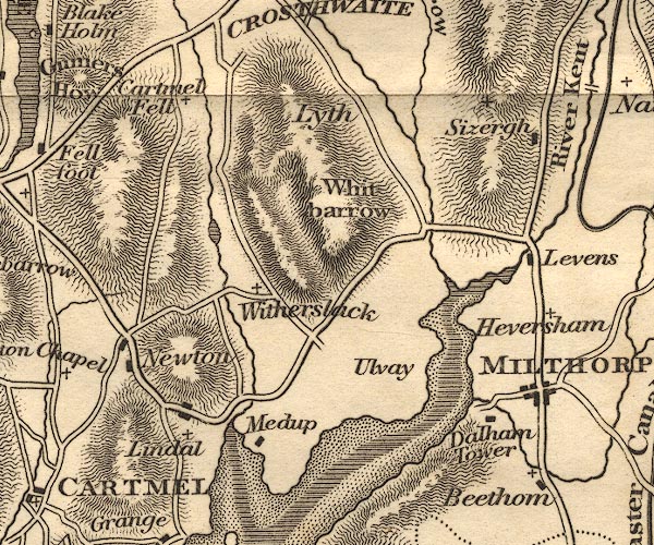 OT02SD48.jpg item:- JandMN : 48.1 Image © see bottom of page |
|||
|
|
||||
| evidence:- | old drawing:- Aspland 1840s-60s placename:- Lindale |
|||
| source data:- | Drawing, pencil, Lindale, Upper Allithwaite, Lancashire, by Theophilus Lindsey Aspland,
1868.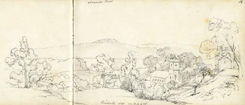 click to enlarge click to enlargeAS0615.jpg "Lindale 1868 see B 16 p 28" page number "14" item:- Armitt Library : 2008.61.15 Image © see bottom of page |
|||
|
|
||||
| evidence:- | old map:- Garnett 1850s-60s H placename:- Lindale |
|||
| source data:- | Map of the English Lakes, in Cumberland, Westmorland and
Lancashire, scale about 3.5 miles to 1 inch, published by John
Garnett, Windermere, Westmorland, 1850s-60s.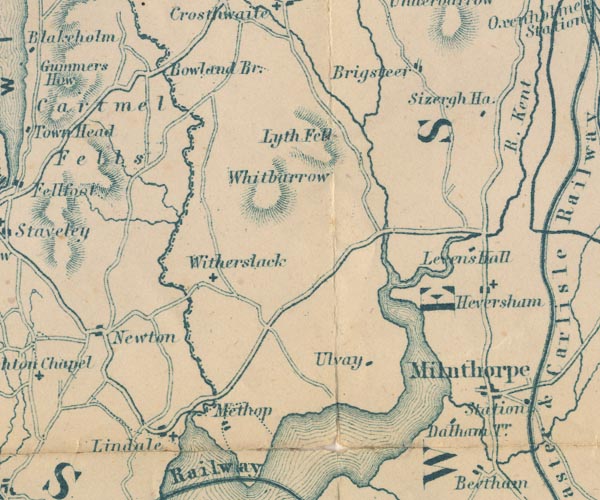 GAR2SD48.jpg "Lindale" blocks, settlement, and a cross, a church item:- JandMN : 82.1 Image © see bottom of page |
|||
|
|
||||
| hearsay:- |
A carrier called Peggy Keth served the community in the 1870s. She went to Kendal
twice a week in a canvas topped cart, never forgetting a commission from a customer
which she carrier in her head. She died by accident; fell off the cart one dark night,
and was run over. |
|||
|
|
||||
| places:- |
|
|||
|
||||
|
||||
|
||||
|
||||
|
||||
|
||||
|
||||
|
||||
|
||||
|
||||
|
||||
|
||||
|
||||
|
||||
|
||||
|
||||
|
||||
|
||||
 Lakes Guides menu.