


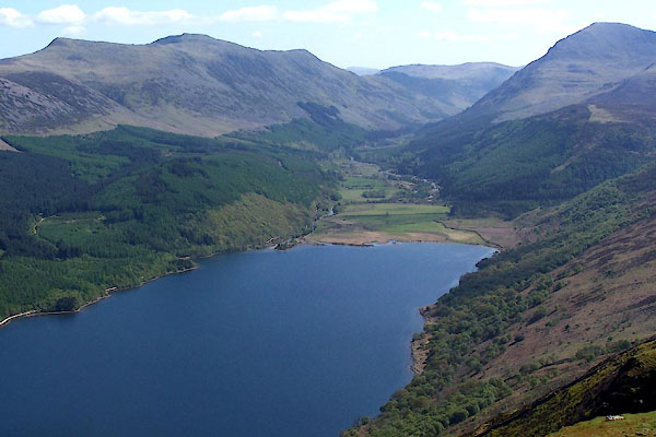
BUL70.jpg From Crag Fell.
(taken 27.4.2011)
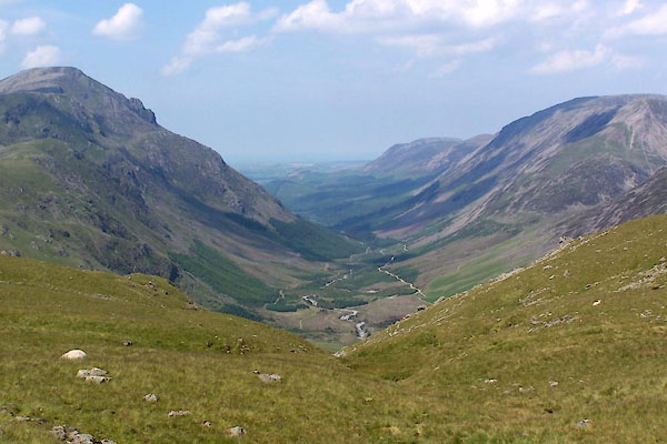
BUX47.jpg (taken 4.7.2011)
placename:- Ennerdale
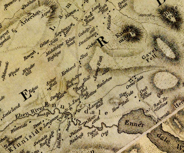
D4NY01NE.jpg
"Ennerdale"
area
item:- Carlisle Library : Map 2
Image © Carlisle Library
placename:- Ennerdale
 goto source
Account of Ennerdale, late 18th century
Page 293:- "IN a ride from Keswick to Ennerdale, the mountains, between whose bases an irregular avenue opens for the curious tourist, are more variegated than those in other regions of this little world of wonders. In the course of ten minutes' travelling, he will behold the most beautiful verdure climbing to the summit of one, a bushy wood creeping to the top of another, and the most tremendous fragments of rock scowling from the front of a third. The pillar challenges particular notice."
"If a transient storm disturb or intercept the view, which frequently happens in the serenest days of summer, the appearance is not only awful, but pleasing; and the traveller will frequently behold a tempest, without feeling it. The commotion is far above him; and where he treads, all is calm, solemn, and silent. As he approaches the vale of Ennerdale, in whose bosom one of the most enchanting of the lakes is seated, he will find the rugged scenery of the country gradually refining; and as he winds round the foot of the Pillar, he will discover a vista, which cannot fail to strike the most indifferent observer with astonishment and pleasure."
"The mountains which serve to heighten this scene, and enhance its surprise, are Sty-head, Honister-crag, Wastdale, the Pillar, and Red-pike. The Liza waters the base of the latter; and on its margin lies an even, level road, not formed by the hand of man, but presenting to the eye the appearance of a pavement. ..."
 goto source
Page 295:- "..."
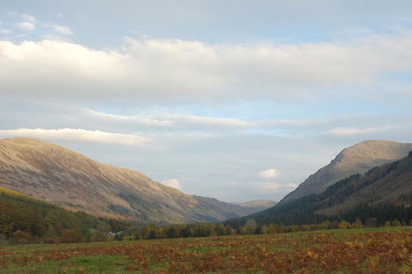
"... The lake of Ennerdale appears in view. To the left, a majestic wood, rising gradually up the side of Cold-fell from the opposite shore of the water, imparts the most graceful ornament to the entrance into a region perfectly different from the last. A short turn to the right lays the whole lake and valley open to the view, and Herd-house presents his tawny front, as regent of the scene. The furniture of the lake (if the expression may be allowed) is totally changed: on the traveller's side (the east) the farms are stretched out, and exhibit a verdure seldom exceeded in the most fertile parts of this kingdom; and in a compass of a few miles, the number of small tenements seem to say with Goldsmith,"
"'Here every rood maintains its man.'"
"On the opposite shore of this little ocean (which is frequently seen vexed with little storms of short duration) the mountain towers with great dignity; neither terrible nor in-"
 goto source
Page 296:- "[in]viting in its aspect, but suited to the serenity of the spot, which is calculated to inspire sentiments at once sublime and chearful. ..."
placename:- Ennerdale
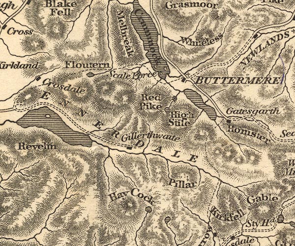
OT02NY11.jpg
"ENNERDALE"
item:- JandMN : 48.1
Image © see bottom of page
placename:- Ennerdale
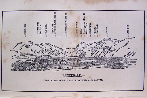 click to enlarge
O80E11.jpg
item:- Armitt Library : A1180.12
Image © see bottom of page
item:- geology; glacial erratic
 goto source
Page 149:- "A variety of granite with reddish felspar, and which from a deficiency of mica, has sometimes been"
 goto source
Page 151:- "called sienite, .... At Nether-wasdale it becomes a finer grained sienite, in which form it extends through the mountains quite across Ennerdale, as far as Scale Force, and to the side of Buttermere Lake. It contains veins of red hematite and micaceous iron ore."
 goto source
Page 152:- "The greatest bulk of these mountain rocks have been commonly included under the general appellation of slate; although many of them shew no disposition to the slaty cleavage. They may be classed in three principal divisions."
"Of these divisions, the FIRST or lowest in the series, ... extends ... by the foot of Ennerdale as far as Dent Hill; ..."
"..."
 goto source
Page 155:- "The SECOND division [of slate rocks] comprehends the mountains of Eskdale, Wasdale, Ennerdale, Borrowdale, Langdale, Grasmere, Patterdale, Martindale, Mardale, and some adjacent places; including the two highest mountains of the district, Scawfell and Helvellyn, as well as the Old Man at Coniston. All our fine towering crags belong to it; and most of the cascades among the lakes fall over it. There are indeed some lofty precipices in the former division; ..."
"..."
 goto source
Page 164:- "neighbourhood of the lakes. Bowlders from the sienite of Buttermere and Ennerdale are found on the west coast of Cumberland; but not in the vales of Keswick or Windermere. ..."
placename:- Ennerdale
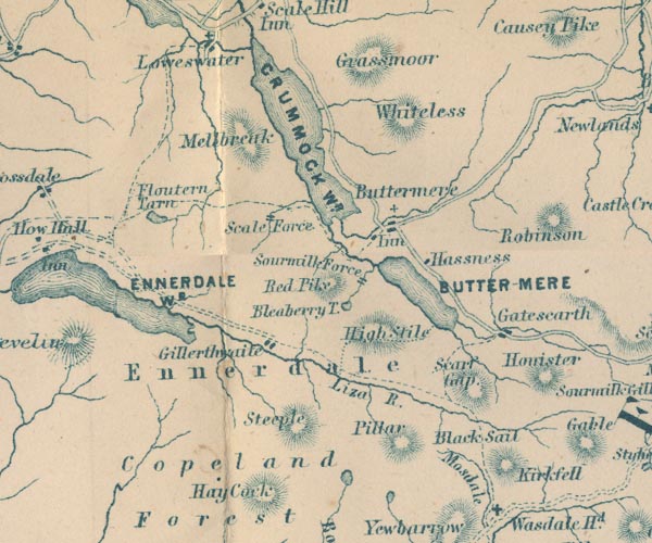
GAR2NY11.jpg
"Ennerdale"
area
item:- JandMN : 82.1
Image © see bottom of page
placename:- Ennerdale
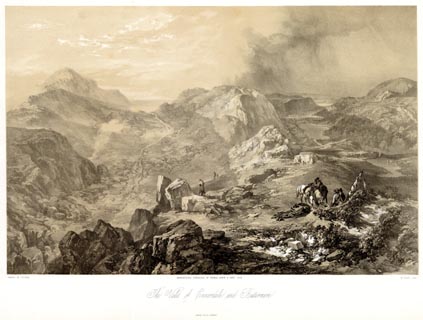 click to enlarge
PYN221.jpg
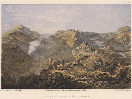
"PAINTED BY J. B. PYNE. / W. GAUCI LITH. / MANCHESTER, PUBLISHED BY THOMAS AGNEW & SONS, 1853. / The Vales of Ennerdale and Buttermere / M & N HANHART IMPT."
item:- Armitt Library : A6678.22
Image © see bottom of page
placename:- Ennerdale
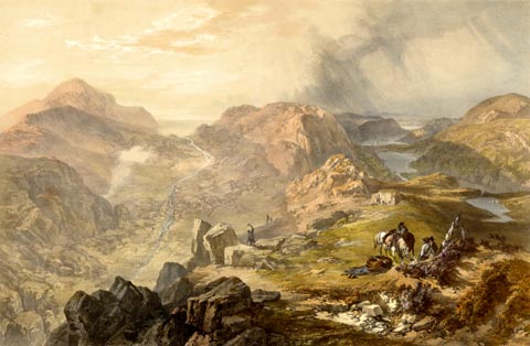 click to enlarge
PYN421.jpg
item:- Armitt Library : A6677.22
Image © see bottom of page
 Martineau Directory 1855
placename:- Ennerdale
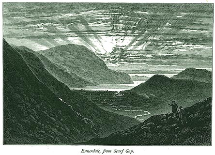 click to enlarge
PR0319.jpg
On page 233 of Picturesque Europe, The Lake Country.
printed at lower right:- "WHYMPER. SC"
printed at bottom:- "Ennerdale, from Scarf Gap."
item:- Dove Cottage : 2008.107.319
Image © see bottom of page
placename:- Ennerdale
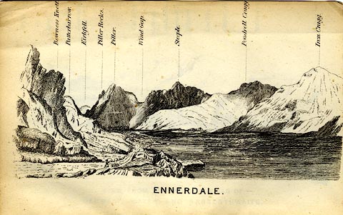 click to enlarge
MW1E04.jpg
Tipped in before p.1 of The English Lakes, Peaks and Passes, from Kendal to Keswick, by George King Matthew.
printed at bottom:- "ENNERDALE"
item:- Armitt Library : A1168.4
Image © see bottom of page
placename:- Ennerdale
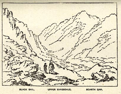 click to enlarge
PI0113.jpg
Included on page 91 of the guide book, Ascents and Passes in the Lake District of England, by Herman Prior.
printed at bottom:- "BLACK SAIL. / UPPER ENNERDALE. / SCARTH GAP."
item:- JandMN : 235.15
Image © see bottom of page
placename:- Ennerdale
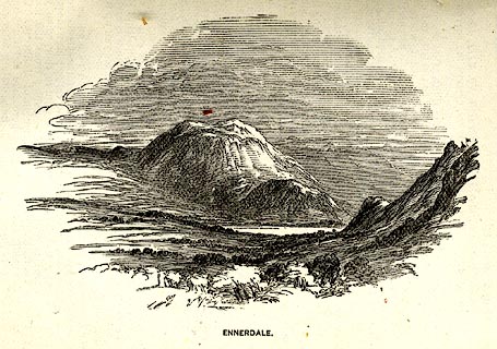 click to enlarge
PI0104.jpg
Included on page 10 of the guide book, Ascents and Passes in the Lake District of England, by Herman Prior.
printed at bottom:- "ENNERDALE."
item:- JandMN : 235.6
Image © see bottom of page
placename:- Vale of Ennerdale
 click to enlarge
PY15.jpg
"Vales of Ennerdale and Buttermere"
item:- JandMN : 97.14
Image © see bottom of page
CEG04.jpg (taken 27.10.2015)

Click to enlarge
BQI64.jpg (taken 1.4.2009)

Click to enlarge
BQW44.jpg (taken 25.6.2009)
CEG05.jpg (taken 27.10.2015)
CEG06.jpg (taken 27.10.2015)
