Old Cumbria Gazetteer
 |
 |
|
||
| Ehen, River | ||||
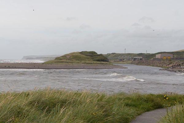
| runs into:- |  Irish Sea Irish Sea |
|||
|
|
||||
| civil parish:- | Ennerdale and Kinniside (formerly Cumberland) | |||
| civil parish:- | Lamplugh (formerly Cumberland) | |||
| civil parish:- | Arlecdon and Frizington (formerly Cumberland) | |||
| civil parish:- | Cleator Moor (formerly Cumberland) | |||
| civil parish:- | Egremont (formerly Cumberland) | |||
| civil parish:- | Lowside Quarter (formerly Cumberland) | |||
| civil parish:- | St Bridget Beckermet (formerly Cumberland) | |||
| county:- | Cumbria | |||
| locality type:- | river | |||
| 1Km square:- | NY0515 (etc) | |||
| 10Km square:- | NY01 | |||
| 10Km square:- | NY00 | |||
|
|
||||
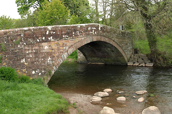
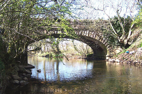
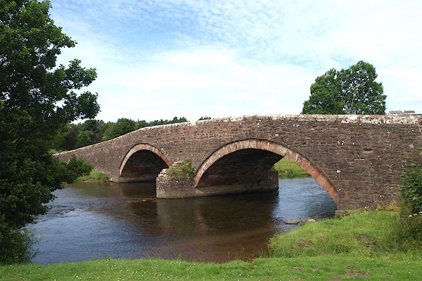
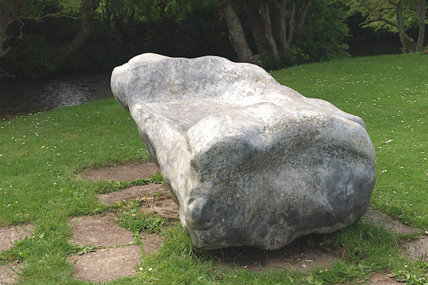
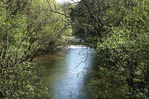
 BPJ79.jpg At Wath Bridge. (taken 30.6.2008) 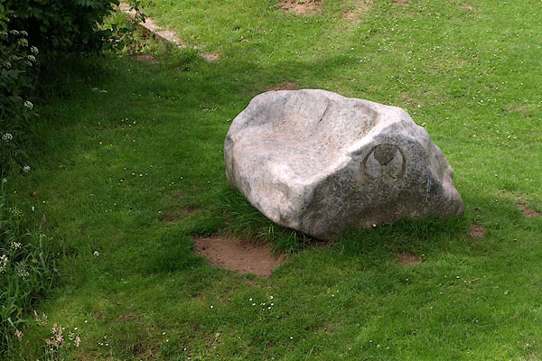 BPJ80.jpg Riverside seat by Wath Bridge. (taken 30.6.2008) |
||||
|
|
||||
| evidence:- | old map:- OS County Series (Cmd 67 16) placename:- Ehen, River |
|||
| source data:- | Maps, County Series maps of Great Britain, scales 6 and 25
inches to 1 mile, published by the Ordnance Survey, Southampton,
Hampshire, from about 1863 to 1948. OS County Series (Cmd 68 9) OS County Series (Cmd 68 10) |
|||
|
|
||||
| evidence:- | old map:- Gough 1350s-60s |
|||
| source data:- | Map, colour photozincograph copy, reduced size facsimile, Gough
Map of Britain, scale about 28.5 miles to 1 inch, published by
the Ordnance Survey, Southampton, Hampshire, 1875. click to enlarge click to enlargeGgh1Cm.jpg Running into the sea south of Whitehaven. item:- JandMN : 33 Image © see bottom of page |
|||
|
|
||||
| evidence:- | old map:- Gough 1350s-60s |
|||
| source data:- | Map, lithograph facsimile, Gough Map of Britain, 20 miles to 1
inch? published by the Ordnance Survey, Southampton, Hampshire,
1935. click to enlarge click to enlargeGgh2Cm.jpg Running into the sea south of Whitehaven. item:- JandMN : 34 Image © see bottom of page |
|||
|
|
||||
| evidence:- | old map:- Saxton 1579 |
|||
| source data:- | Map, hand coloured engraving, Westmorlandiae et Cumberlandiae Comitatus ie Westmorland
and Cumberland, scale about 5 miles to 1 inch, by Christopher Saxton, London, engraved
by Augustinus Ryther, 1576, published 1579-1645.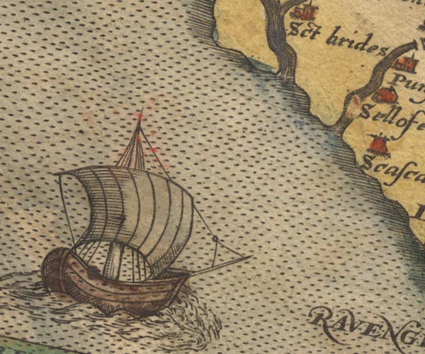 Sax9NX90.jpg item:- private collection : 2 Image © see bottom of page |
|||
|
|
||||
| evidence:- | old map:- Mercator 1595 (edn?) placename:- |
|||
| source data:- | Map, hand coloured engraving, Northumbria, Cumberlandia, et
Dunelmensis Episcopatus, ie Northumberland, Cumberland and
Durham etc, scale about 6.5 miles to 1 inch, by Gerard Mercator,
Duisberg, Germany, about 1595. MER8CumE.jpg "" double line with stream lines; river, running into the sea item:- JandMN : 169 Image © see bottom of page |
|||
|
|
||||
| evidence:- | old map:- Keer 1605 |
|||
| source data:- | Map, hand coloured engraving, Westmorland and Cumberland, scale
about 16 miles to 1 inch, probably by Pieter van den Keere, or
Peter Keer, about 1605 edition perhaps 1676. click to enlarge click to enlargeKER8.jpg "" double wiggly line, tapering to single; river item:- Dove Cottage : 2007.38.110 Image © see bottom of page |
|||
|
|
||||
| evidence:- | old map:- Speed 1611 (Cmd) |
|||
| source data:- | Map, hand coloured engraving, Cumberland and the Ancient Citie
Carlile Described, scale about 4 miles to 1 inch, by John Speed,
1610, published by J Sudbury and George Humble, Popes Head
Alley, London, 1611-12.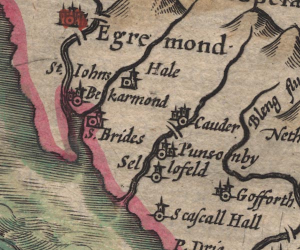 SP11NY00.jpg double line with stream lines, runs into the sea item:- private collection : 16 Image © see bottom of page |
|||
|
|
||||
| evidence:- | old map:- Drayton 1612/1622 |
|||
| source data:- | Map, hand coloured engraving, Cumberlande and Westmorlande, by
Michael Drayton, probably engraved by William Hole, scale about
4 or 5 miles to 1 inch, published by John Mariott, John
Grismand, and Thomas Dewe, London, 1622.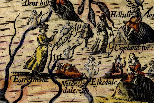 DRY519.jpg River, naiad. item:- JandMN : 168 Image © see bottom of page |
|||
|
|
||||
| evidence:- | perhaps old map:- Jenner 1643 |
|||
| source data:- | Tables of distances with a maps, Westmerland, scale about 16
miles to 1 inch, and Cumberland, scale about 21 miles to 1 inch,
published by Thomas Jenner, London, 1643; published 1643-80. JEN4Sq.jpg wiggly line |
|||
|
|
||||
| evidence:- | old map:- Jansson 1646 |
|||
| source data:- | Map, hand coloured engraving, Cumbria and Westmoria, ie
Cumberland and Westmorland, scale about 3.5 miles to 1 inch, by
John Jansson, Amsterdam, Netherlands, 1646.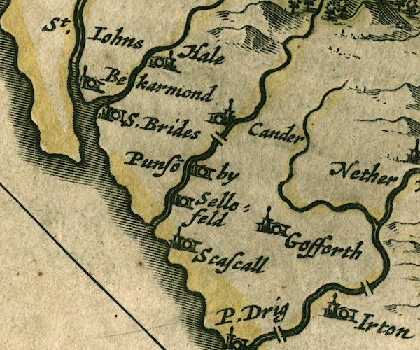 JAN3NY00.jpg 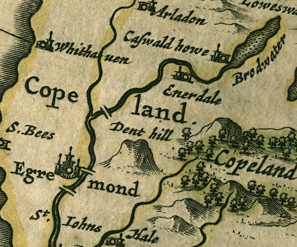 JAN3NY01.jpg Double wiggly line, tapering to single. item:- JandMN : 88 Image © see bottom of page |
|||
|
|
||||
| evidence:- | old map:- Sanson 1679 placename:- Brodwater fl. |
|||
| source data:- | Map, hand coloured engraving, Ancien Royaume de Northumberland
aujourdhuy Provinces de Nort, ie the Ancient Kingdom of
Northumberland or the Northern Provinces, scale about 9.5 miles
to 1 inch, by Nicholas Sanson, Paris, France, 1679. click to enlarge click to enlargeSAN2Cm.jpg "Brodwater fl." tapering wiggly line; river item:- Dove Cottage : 2007.38.15 Image © see bottom of page |
|||
|
|
||||
| evidence:- | old map:- Seller 1694 (Cmd) |
|||
| source data:- | Map, uncoloured engraving, Cumberland, scale about 12 miles to 1
inch, by John Seller, 1694. click to enlarge click to enlargeSEL9.jpg tapering wiggly line; river item:- Dove Cottage : 2007.38.89 Image © see bottom of page |
|||
|
|
||||
| evidence:- | old map:- Morden 1695 (Cmd) |
|||
| source data:- | Map, uncoloured engraving, Cumberland, scale about 4 miles to 1
inch, by Robert Morden, 1695, published by Abel Swale, the
Unicorn, St Paul's Churchyard, Awnsham, and John Churchill, the
Black Swan, Paternoster Row, London, 1695-1715. MD12NX90.jpg Running from Ennerdale Water to sea. item:- JandMN : 90 Image © see bottom of page |
|||
|
|
||||
| evidence:- | old map:- Badeslade 1742 placename:- |
|||
| source data:- | Map, uncoloured engraving, A Map of Cumberland North from
London, scale about 11 miles to 1 inch, with descriptive text,
by Thomas Badeslade, London, engraved and published by William
Henry Toms, Union Court, Holborn, London, 1742. click to enlarge click to enlargeBD10.jpg "" tapering wiggly line item:- JandMN : 115 Image © see bottom of page |
|||
|
|
||||
| evidence:- | old map:- Bowen and Kitchin 1760 placename:- Broad River |
|||
| source data:- | Map, hand coloured engraving, A New Map of the Counties of
Cumberland and Westmoreland Divided into their Respective Wards,
scale about 4 miles to 1 inch, by Emanuel Bowen and Thomas
Kitchin et al, published by T Bowles, Robert Sayer, and John
Bowles, London, 1760. BO18NY01.jpg "Broad R." wiggly line, out of Ennerdale Water 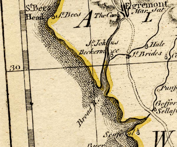 BO18NX90.jpg "Broad R." river mouth, into the sea item:- Armitt Library : 2008.14.10 Image © see bottom of page |
|||
|
|
||||
| evidence:- | old map:- Donald 1774 (Cmd) placename:- Ehen River |
|||
| source data:- | Map, hand coloured engraving, 3x2 sheets, The County of Cumberland, scale about 1
inch to 1 mile, by Thomas Donald, engraved and published by Joseph Hodskinson, 29
Arundel Street, Strand, London, 1774. D4NY01NW.jpg  D4NY01NE.jpg "Ehen River"  D4NY01SW.jpg 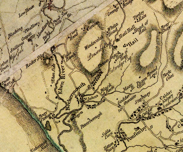 D4NY00NW.jpg "Ehen River" 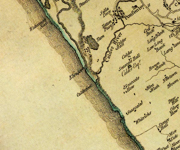 D4NY00SW.jpg single or double wiggly line; a river out of Ennerdale Water, into the sea item:- Carlisle Library : Map 2 Images © Carlisle Library |
|||
|
|
||||
| evidence:- | descriptive text:- Hearne and Byrne 1786 placename:- Egan, River placename:- End, River |
|||
| source data:- | Book, Antiquities of Great Britain, prints from drawings by
Thomas Hearne, engraved by William Byrne, published by Hearne
and Byrne, London, 1786; published 1786-1807. Text with a print, Egremont Castle, drawn by Thomas Hearne, engraved by William Byrne and Samuel Middiman, published by T Hearne and W Byrne, London, 1786; plate 7 ?from the Antiquities of Great Britain, published 1786-1807:- "EGREMONT CASTLE ... Is situated upon the top of an hill or mount near the river Egan (now corruptly called End), from which it is supposed to have derived its name, i.e. Ege-er-mont. ..." |
|||
|
|
||||
| evidence:- | old text:- Clarke 1787 placename:- Egre, River placename:- Egen, River |
|||
| source data:- | Guide book, A Survey of the Lakes of Cumberland, Westmorland,
and Lancashire, written and published by James Clarke, Penrith,
Cumberland, and in London etc, 1787; published 1787-93. goto source Page 94:- "... [Egremont Castle] upon a hill near to a little rivulet called Egre or Egen, ..." |
|||
|
|
||||
| evidence:- | old map:- Skrine 1801 placename:- Ehen River |
|||
| source data:- | Map, uncoloured engraving, rivers in Cumberland, Westmorland,
Lancashire and Cheshire, scale about 23 miles to 1 inch, by
Henry Skrine, published by P Elmsly, London, 1801.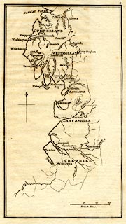 click to enlarge click to enlargeM076.jpg "Ehen R." river item:- JandMN : 421 Image © see bottom of page |
|||
|
|
||||
| evidence:- | old map:- Cooke 1802 placename:- Ehen River |
|||
| source data:- | Map, Cumberland, scale about 15.5 miles to 1 inch, by George
Cooke, 1802, bound in Gray's New Book of Roads, 1824, published
by Sherwood, Jones and Co, Paternoster Road, London, 1824. click to enlarge click to enlargeGRA1Cd.jpg "Ehen R." tapering wiggly line; river item:- Hampshire Museums : FA2000.62.2 Image © see bottom of page |
|||
|
|
||||
| evidence:- | old map:- Cooke 1802 placename:- Ehen River |
|||
| source data:- | Map, The Lakes, Westmorland and Cumberland, scale about 8.5
miles to 1 inch, engravedby Neele and Son, published by
Sherwood, Jones and Co, Paternoster Road, London, 1824. click to enlarge click to enlargeGRA1Lk.jpg "Ehen R." tapering wiggly line; river item:- Hampshire Museums : FA2000.62.5 Image © see bottom of page |
|||
|
|
||||
| evidence:- | old map:- Laurie and Whittle 1806 placename:- Eben, River |
|||
| source data:- | Road map, Completion of the Roads to the Lakes, scale about 10
miles to 1 inch, by Nathaniel Coltman? 1806, published by Robert
H Laurie, 53 Fleet Street, London, 1834. click to enlarge click to enlargeLw18.jpg "R. Eben (sic)" river item:- private collection : 18.18 Image © see bottom of page |
|||
|
|
||||
| evidence:- | old map:- Cooper 1808 |
|||
| source data:- | Map, uncoloured engraving, Cumberland, scale about 10.5 miles to
1 inch, drawn and engraved by Cooper, published by R Phillips,
Bridge Street, Blackfriars, London, 1808. click to enlarge click to enlargeCOP3.jpg tapering wiggly line; river item:- JandMN : 86 Image © see bottom of page |
|||
|
|
||||
| evidence:- | old map:- Wallis 1810 (Cmd) placename:- Ehen River |
|||
| source data:- | Road map, hand coloured engraving, Cumberland, scale about 16
miles to 1 inch, by James Wallis, 77 Berwick Stree, Soho,
London, 1810. click to enlarge click to enlargeWL13.jpg "Ehen R." river item:- Dove Cottage : 2009.81.10 Image © see bottom of page |
|||
|
|
||||
| evidence:- | old map:- Otley 1818 placename:- Ehen River |
|||
| source data:- | Map, uncoloured engraving, The District of the Lakes,
Cumberland, Westmorland, and Lancashire, scale about 4 miles to
1 inch, by Jonathan Otley, 1818, engraved by J and G Menzies,
Edinburgh, Scotland, published by Jonathan Otley, Keswick,
Cumberland, et al, 1833.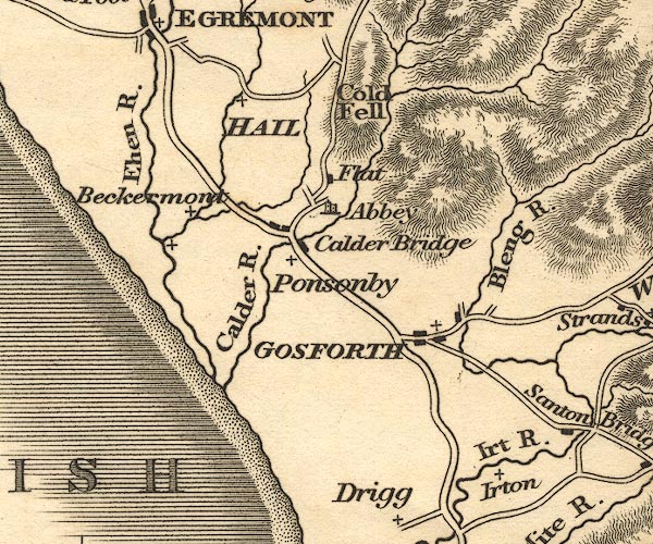 OT02NY00.jpg "Ehen R." item:- JandMN : 48.1 Image © see bottom of page |
|||
|
|
||||
| evidence:- | old map:- Hall 1820 (Cmd) placename:- Ehen River |
|||
| source data:- | Map, hand coloured engraving, Cumberland, scale about 21 miles
to 1 inch, engraved by Sidney Hall, published by S Leigh, 18
Strand, London, 1820-31. click to enlarge click to enlargeHA14.jpg "Ehen R." tapering wiggly line; river item:- JandMN : 91 Image © see bottom of page |
|||
|
|
||||
| evidence:- | descriptive text:- Otley 1823 (5th edn 1834) |
|||
| source data:- | Guide book, A Concise Description of the English Lakes, the
mountains in their vicinity, and the roads by which they may be
visited, with remarks on the mineralogy and geology of the
district, by Jonathan Otley, published by the author, Keswick,
Cumberland now Cumbria, by J Richardson, London, and by Arthur
Foster, Kirkby Lonsdale, Cumbria, 1823; published 1823-49,
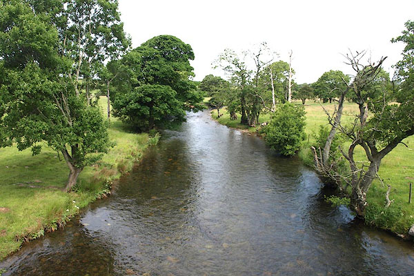
latterly as the Descriptive Guide to the English Lakes. goto source Page 41:- "The water flowing from the north side of Gable has a long meandering stream down Ennerdale; it is called the Lisa till it enters the lake; afterwards it is the Ehen till it falls into the sea half way between Ravenglass and St. Bees. ..." |
|||
|
|
||||
| evidence:- | old map:- Perrot 1823 |
|||
| source data:- | Map, hand coloured engraving, Cumberland and Westmoreland ie
Westmorland, scale about 38 miles to 1 inch, by Aristide Michel
Perrot, engraved by Migneret, 1823, published by Etienne Ledoux,
9 Rue Guenegaud, Paris, France, 1824-48. click to enlarge click to enlargePER2.jpg tapering wiggly line item:- Dove Cottage : 2007.38.45 Image © see bottom of page |
|||
|
|
||||
| evidence:- | descriptive text:- Ford 1839 (3rd edn 1843) placename:- Ehen |
|||
| source data:- | Guide book, A Description of Scenery in the Lake District, by
Rev William Ford, published by Charles Thurnam, Carlisle, by W
Edwards, 12 Ave Maria Lane, Charles Tilt, Fleet Street, William
Smith, 113 Fleet Street, London, by Currie and Bowman,
Newcastle, by Bancks and Co, Manchester, by Oliver and Boyd,
Edinburgh, and by Sinclair, Dumfries, 1839. goto source Page 79:- "..." "From Egremont, however, we hasten onwards to Ennerdale, ... On the right, the river Ehen flows the whole way, occasionally appearing and disappearing, as it glides through brakes and bushes of alders and willows in its course from the lake of Ennerdale." |
|||
|
|
||||
| evidence:- | old map:- Ford 1839 map placename:- Ehen River |
|||
| source data:- | Map, uncoloured engraving, Map of the Lake District of
Cumberland, Westmoreland and Lancashire, scale about 3.5 miles
to 1 inch, published by Charles Thurnam, Carlisle, and by R
Groombridge, 5 Paternoster Row, London, 3rd edn 1843.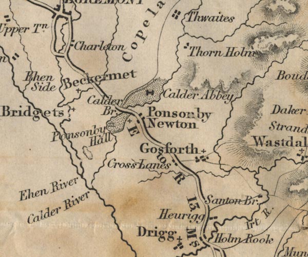 FD02NY00.jpg "Ehen River" item:- JandMN : 100.1 Image © see bottom of page |
|||
|
|
||||
| evidence:- | old map:- Garnett 1850s-60s H placename:- Ehen, River |
|||
| source data:- | Map of the English Lakes, in Cumberland, Westmorland and
Lancashire, scale about 3.5 miles to 1 inch, published by John
Garnett, Windermere, Westmorland, 1850s-60s.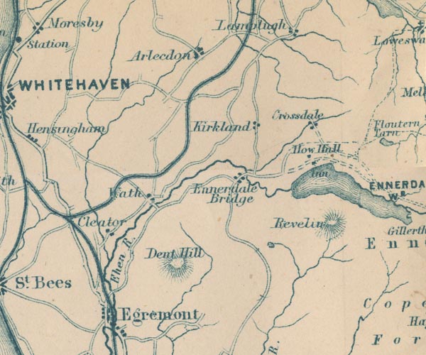 GAR2NY01.jpg "Ehen R." wiggly line, river item:- JandMN : 82.1 Image © see bottom of page |
|||
|
|
||||
| evidence:- | old map:- Postlethwaite 1877 (3rd edn 1913) placename:- Ehen, River |
|||
| source data:- | Map, uncoloured engraving, Map of the Lake District Mining Field, Westmorland, Cumberland,
Lancashire, scale about 5 miles to 1 inch, by John Postlethwaite, published by W H
Moss and Sons, 13 Lowther Street, Whitehaven, Cumberland, 1877 edn 1913.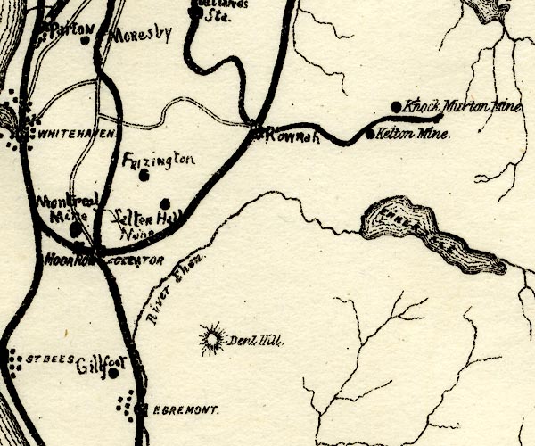 PST2NY01.jpg "River Ehen" wiggly line, running out of Ennerdale Water item:- JandMN : 162.2 Image © see bottom of page |
|||
|
|
||||
 BPJ81.jpg Riverside seat by Wath Bridge. (taken 30.6.2008) 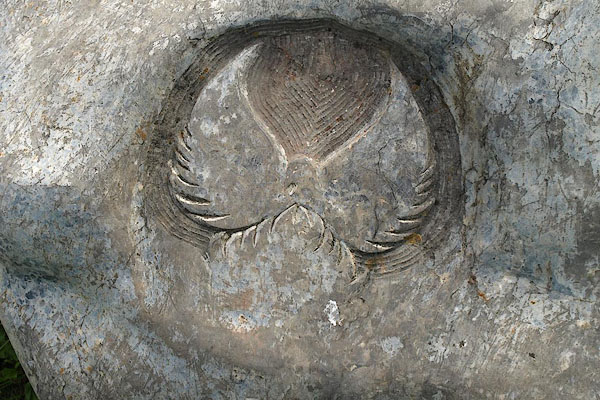 BPJ82.jpg Symbol, a phoenix? on one of the riverside seats by Wath Bridge. (taken 30.6.2008) |
||||
|
|
||||
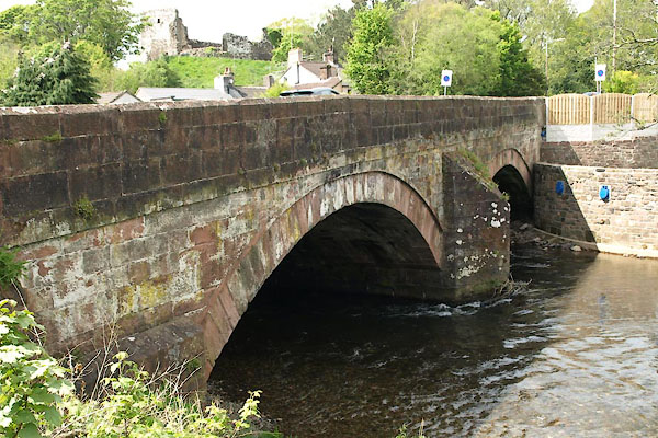
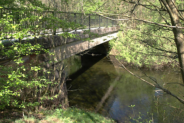
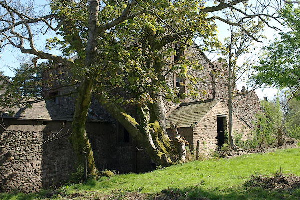
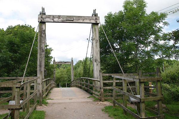
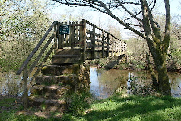
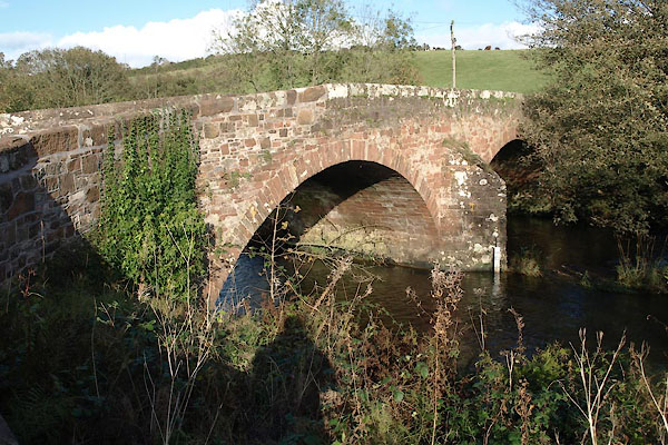
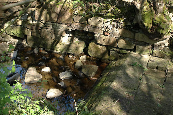
 BUK18.jpg At the bridge at Bleach Green, (taken 27.4.2011) 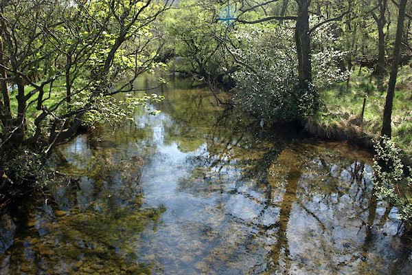 BUK28.jpg At the footbridge by Ennerdale Mill, (taken 27.4.2011) 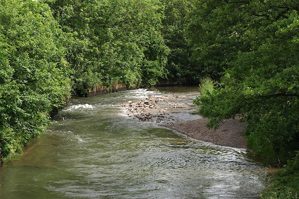 BSX82.jpg From the Longlands Lake footbridge, (taken 13.7.2010) 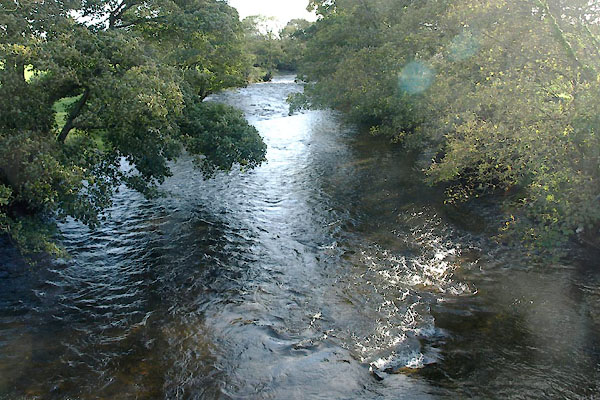 BVM35.jpg At Kersey Bridge, (taken 7.10.2010) 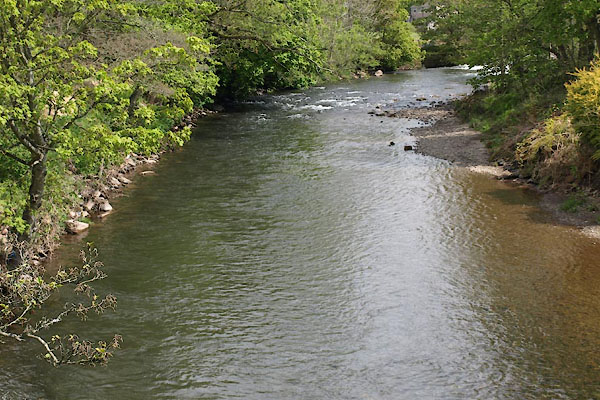 BWK35.jpg At Egremont, (taken 16.5.2012) 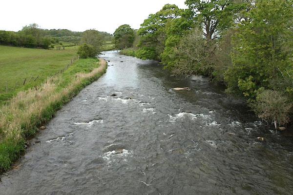 BWK72.jpg At Briscoemill Bridge, (taken 16.5.2012) |
||||
|
|
||||
| places:- |
|
|||
|
||||
|
||||
|
||||
|
||||
|
||||
|
||||
|
||||
|
||||
|
||||
|
||||
|
||||
|
||||
|
||||
|
||||
|
||||
|
||||
|
||||
|
||||
|
||||
|
||||
Lakes Guides menu.