 |
 |
|
|
|
|
Broughton Mills |
| civil parish:- |
Broughton West (formerly Lancashire) |
| county:- |
Cumbria |
| locality type:- |
locality |
| locality type:- |
buildings |
| coordinates:- |
SD22249056 (etc) |
| 1Km square:- |
SD2290 |
| 10Km square:- |
SD29 |
|
|
| evidence:- |
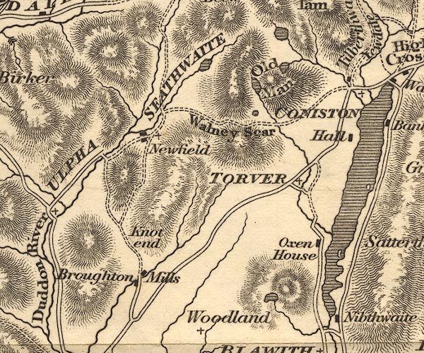
old map:- OS County Series (Lan 6 4)
placename:- Broughton Mills
|
| source data:- |
Maps, County Series maps of Great Britain, scales 6 and 25
inches to 1 mile, published by the Ordnance Survey, Southampton,
Hampshire, from about 1863 to 1948.
|
|
|
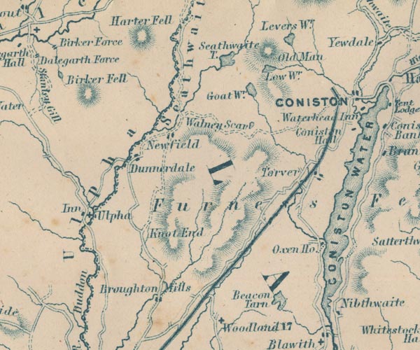
| evidence:- |
old map:- Otley 1818
placename:- Broughton Mills
|
| source data:- |
Map, uncoloured engraving, The District of the Lakes,
Cumberland, Westmorland, and Lancashire, scale about 4 miles to
1 inch, by Jonathan Otley, 1818, engraved by J and G Menzies,
Edinburgh, Scotland, published by Jonathan Otley, Keswick,
Cumberland, et al, 1833.
OT02SD29.jpg
item:- JandMN : 48.1
Image © see bottom of page
|
|
|
| evidence:- |
descriptive text:- Otley 1823 (5th edn 1834)
item:- geology
|
| source data:- |
Guide book, A Concise Description of the English Lakes, the
mountains in their vicinity, and the roads by which they may be
visited, with remarks on the mineralogy and geology of the
district, by Jonathan Otley, published by the author, Keswick,
Cumberland now Cumbria, by J Richardson, London, and by Arthur
Foster, Kirkby Lonsdale, Cumbria, 1823; published 1823-49,
latterly as the Descriptive Guide to the English Lakes.
 goto source goto source
Page 158:- "The THIRD division - forming only inferior elevations - commences with a bed of dark-blue
or blackish transition limestone, containing here and there a few shells and madrepores,
and alternating with a slaty rock of the same colour; the different layers of each
being in some places several feet, in others only a few inches in thickness. This
limestone crosses the river Duddon near Broughton; passing Broughton Mills it runs
in a north-east direction through Torver, by the foot of the Old Man mountain, and
appears near Low Yewdale and Yew Tree. Here it makes a considerable slip to the eastward,
after which it ranges past the Tarns upon the hills above Borwick Ground; and stretching
through Skelwith, it crosses the head of Windermere near Low Wood Inn. Then passing
above Dovenest and Skelgill, it traverses the vales of Troutbeck, Kentmere, and Long
Sleddale;"
|
|
|
| evidence:- |
old map:- Garnett 1850s-60s H
placename:- Broughton Mills
|
| source data:- |
Map of the English Lakes, in Cumberland, Westmorland and
Lancashire, scale about 3.5 miles to 1 inch, published by John
Garnett, Windermere, Westmorland, 1850s-60s.
GAR2SD29.jpg
"Broughton Mills"
blocks, settlement
item:- JandMN : 82.1
Image © see bottom of page
|
|
|
| places:- |
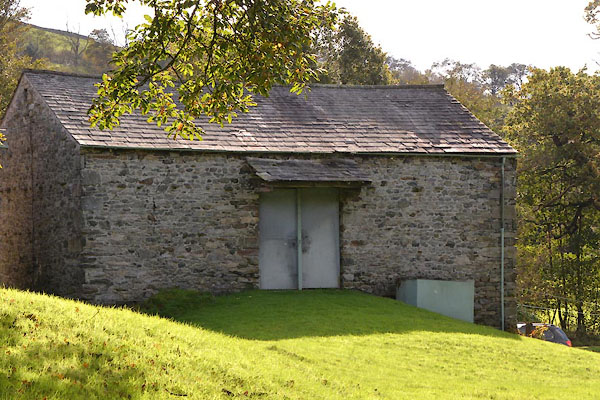 |
SD22339083 barn, Broughton Mills (Dunnerdale-with-Seathwaite) L |
|
|
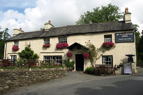 |
SD22209053 Blacksmiths Arms (Broughton West) L |
|
|
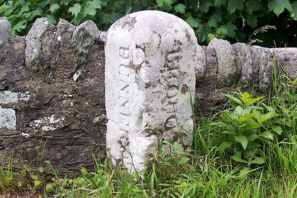 |
SD22249071 boundary stone, Broughton West/Dunnerdale etc L |
|
|
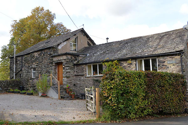 |
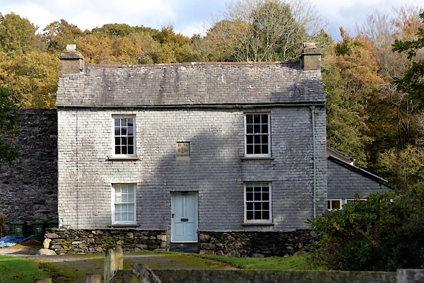
SD22239066 Broughton Mill (Broughton West) |
|
|
 |
SD22169048 Crag Cottage (Broughton West) L |
|
|
|
SD22409092 Dunnerdale Bridge (Dunnerdale-with-Seathwaite) |
|
|
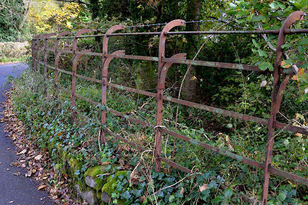 |
SD22309088 fence, Broughton Mills (Broughton West) |
|
|
 |
SD22329081 Hesketh Hall (Dunnerdale-with-Seathwaite) L |
|
|
|
SD22739081 Hobkin Ground (Broughton West) |
|
|
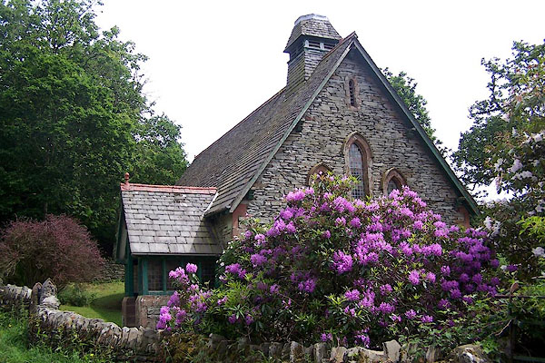 |
SD22339089 Holy Innocents Church (Broughton West) |
|
|
 |
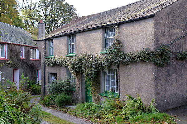
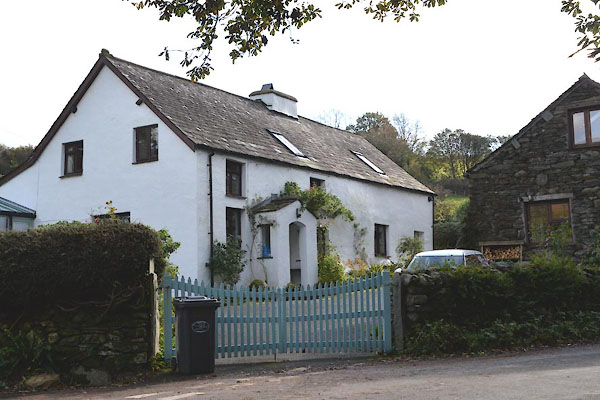
SD22169046 house, Broughton Mills (Broughton West) |
|
|
 |
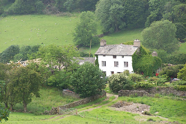
SD22079042 house, Broughton Mills (2) (Broughton West) |
|
|
|
SD22129046 limekiln, Broughton Mills (Broughton West) L out of sight |
|
|
 |
SD21889034 Lumholme (Broughton West) L |
|
|
 |
SD22279063 Mill Cottage (Broughton West) |
|
|
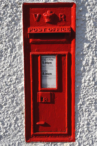 |
SD22219052 post box, Broughton Mills (Broughton West) |
|
|
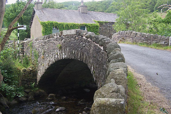 |
SD22239071 Shop Bridge (Broughton West / Dunnerdale-with-Seathwaite) L |
|
|
|
SD22139045 Shuttle Street (Broughton West) |
|
|
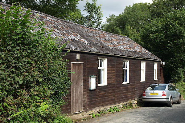 |
SD22239058 Broughton Mills village hall (Broughton West) |
|
|
|
SD22359049 Walk Mill (Broughton West) |
|
|
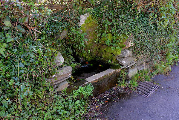 |
SD22229051 water trough, Broughton Mills (Broughton West) |
|
|
|
SD22589085 Limekiln Wood (Broughton West) |
|
