


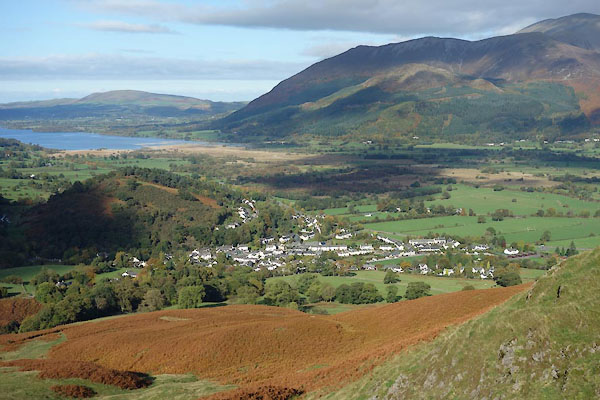
BZO11.jpg (taken 24.10.2013)
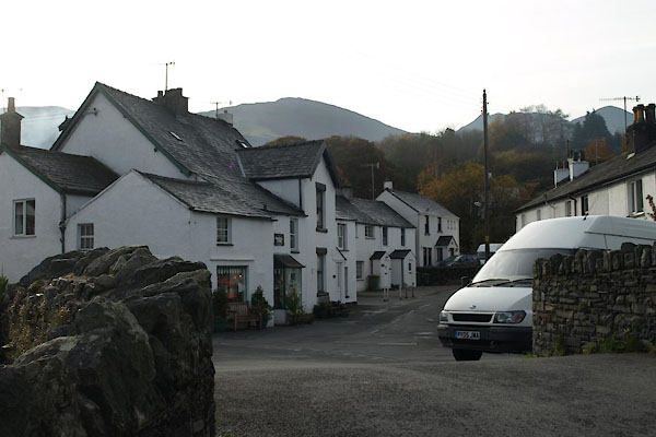
BVP68.jpg (taken 5.11.2011)
placename:- Braithwaite
placename:- Brathwate
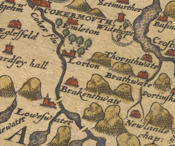
Sax9NY12.jpg
Building, symbol for a hamlet, which may or may not have a nucleus. "Brathwate"
item:- private collection : 2
Image © see bottom of page
placename:- Brathwat
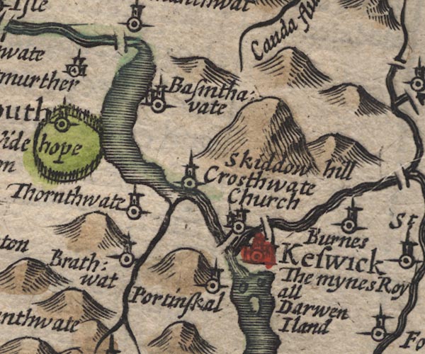
SP11NY22.jpg
"Brathwat"
circle, tower
item:- private collection : 16
Image © see bottom of page
placename:- Brathwat
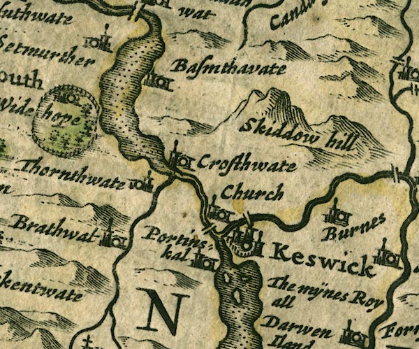
JAN3NY22.jpg
"Brathwat"
Buildings and tower.
item:- JandMN : 88
Image © see bottom of page
placename:- Bratwat
 click to enlarge
SEL9.jpg
"Bratwat"
circle, italic lowercase text; settlement or house
item:- Dove Cottage : 2007.38.89
Image © see bottom of page
placename:- Brathwate
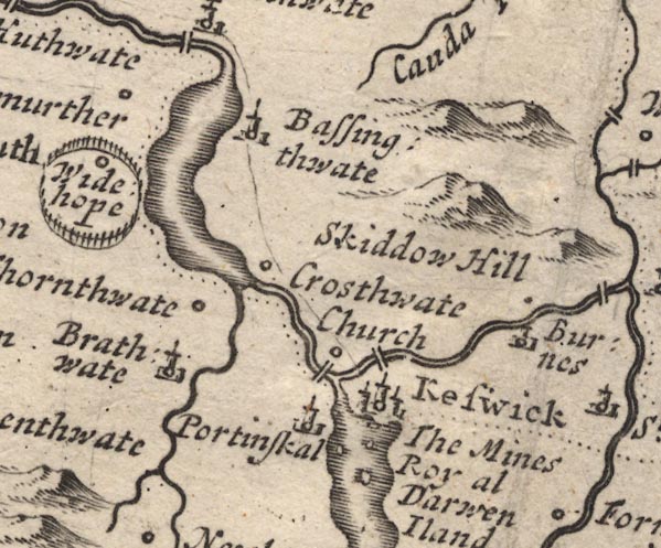
MD12NY22.jpg
"Brathwate"
Circle, building and tower.
item:- JandMN : 90
Image © see bottom of page
placename:- Brathwate
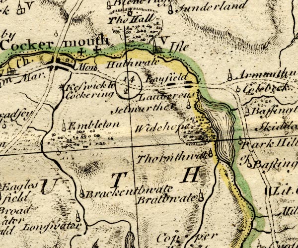
BO18NY12.jpg
"Brathwate"
circle, tower
item:- Armitt Library : 2008.14.10
Image © see bottom of page
placename:- Braithwaite
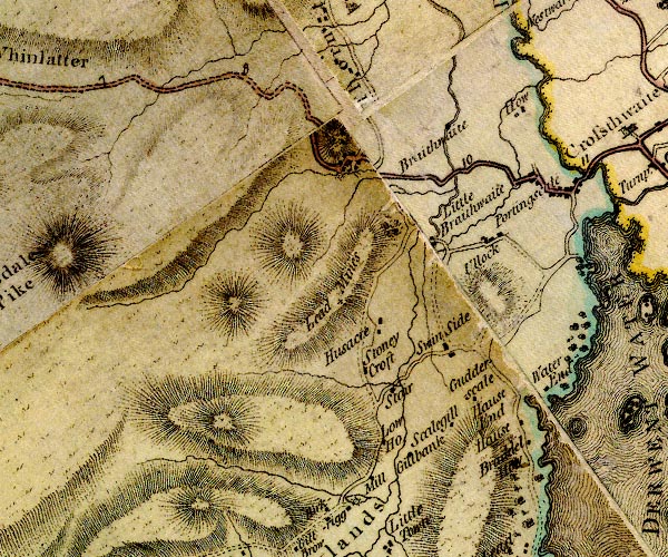
D4NY22SW.jpg
"Braithwaite"
block or blocks, labelled in lowercase; a hamlet or just a house
item:- Carlisle Library : Map 2
Image © Carlisle Library
placename:- Great Braithwaite
item:- charity; fruit
 goto source
Page 91:- "..."
"We next come to Great Brathwaite, a pretty village. This place and Thornthwaite are remarkable for producing the best fruit in Cumberland. A stranger would here imagine himself at his journey's end; the road winds in between two mountains in such a manner that no one can perceive its course."
"The tenants here are all customary, one only excepted. Formerly the poor in these northern parts were extremely distressed; on this account many charities have been given them, by people born in the neighbourhood who had acquired large fortunes. There is not a town or village but what has had two or three donations, (a thing I before forgot to take notice of, and which does credit to the natives) from those who in"
 goto source
Page 92:- "their affluence did not forget their distressed neighbours, who were so frequently plundered of everything they had."
"One Peter Uldale, born at this place, left 4l. 11s. 4d. to be distributed as follows; 3s. and 8d. each, to twelve poor people of Great Brathwaite, five of Little Brathwaite, Portingsgill, and Ullock, and three of Thornthwaite; to be distributed every year on Candlemas day, and to paid out of certain of his lands in Essex. This was not very well paid by Mr Uldale's representatives; whereupon Mr Lowry, Vicar of Crossthwaite, in 1681 brought an action against them, and recovered about thirty pounds Sterling; the interest of which is distributed by the Vicar and Trustees on the same day. Such charities as these now-a-days only relieve the parish at large. Pity such should be enjoyed by the rich! they were meant for the poor. Charities are not now so valuable as they were formerly, since the Legislature has made such excellent laws for their maintenance."
placename:- Braithwaite
 goto source
 click to enlarge
C38317.jpg
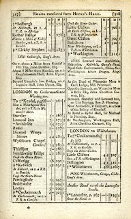
page 317-318 "Braithwaite"
item:- JandMN : 228.1
Image © see bottom of page
placename:- Brathwaite
 click to enlarge
GRA1Cd.jpg
"Brathwaite"
blocks, italic lowercase text, village, hamlet, locality
item:- Hampshire Museums : FA2000.62.2
Image © see bottom of page
placename:- Braithwaite
 click to enlarge
Lw18.jpg
"Braithwaite 296½"
village or other place; distance from London
item:- private collection : 18.18
Image © see bottom of page
placename:- Braithwaite
 click to enlarge
COP3.jpg
"Braithwaite"
circle; village or hamlet
item:- JandMN : 86
Image © see bottom of page
placename:- Brathwate
 click to enlarge
WL13.jpg
"Brathwate"
village, hamlet, house, ...
item:- Dove Cottage : 2009.81.10
Image © see bottom of page
placename:- Braithwaite
item:- sheep
 click to enlarge
WKN125.jpg
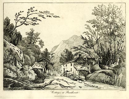
Plate 25 in Select Views in Cumberland, Westmoreland, and Lancashire.
printed at bottom left, right, centre:- "The Revd. Jos: Wilkinson delt. / W. F. Wells Sculpt. / Cottages at Braithwaite. / Publish'd Jany. 1. 1810. by R. Ackerman. 101. Strand. London."
item:- Fell and Rock Climbing Club : MN4.25
Image © see bottom of page
placename:- Braithwaite
 click to enlarge
WKN126.jpg
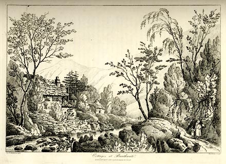
Plate 26 in Select Views in Cumberland, Westmoreland, and Lancashire.
printed at bottom left, right, centre:- "The Revd. J. Wilkenson delt. / W. F. Wells Sculpt. / Cottages at Braithwaite. / London. Pubd. April 1. 1810. by R. Ackermann. 101. Strand."
item:- Fell and Rock Climbing Club : MN4.26
Image © see bottom of page
placename:- Braithwaite
OT02NY22.jpg
item:- JandMN : 48.1
Image © see bottom of page
placename:- Braithwaite
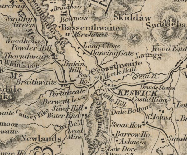
FD02NY22.jpg
"Braithwaite"
item:- JandMN : 100.1
Image © see bottom of page
placename:- Braithwaite
item:- storm; rain; wind; whirlwind
 goto source
Page 7:- "..."
"A correspondent of the Whitehaven Herald states, "On Friday (the 9th of October last) the rain poured down in torrents, with a high wind, which, towards evening increased to a complete hurricane. At the village of Braithwaite, near Keswick, the blast came down the side of Grisedale, resembling a whirlwind, and swept through the village. A heavy cart, standing near to Messrs. Simms' manufactory, was lifted by the wind, and after being"
Miller 1847
 goto source
Page 8:- "whirled about, was finally set down at a distance of 20 yards.""
 Martineau Directory 1855
placename:- Braithwaite
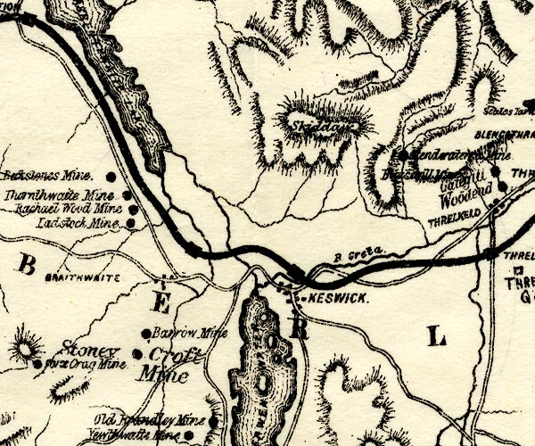
PST2NY22.jpg
"BRAITHWAITE"
dots, roads, nearby station on railway
item:- JandMN : 162.2
Image © see bottom of page
placename:- Braithwaite
 click to enlarge
POF7Cm.jpg
"Braithwaite"
map date 1909
placename:- Braithwaite
 click to enlarge
PF10Cm.jpg
"Braithwaite"
map date 1892
placename:- Braithwaite
 click to enlarge
POF2Cm.jpg
"Braithwaite"
map date 1890
placename:- Braithwaite
 click to enlarge
POF8Cm.jpg
"Braithwaite"
map date 1873
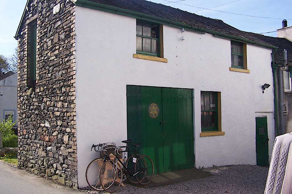
BNP48.jpg Bicycle shop?
(taken 26.4.2007)
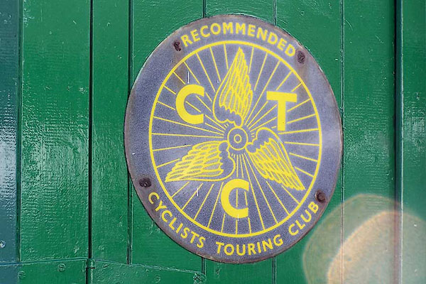
BNP49.jpg CTC recommendation sign on the bicycle shop.
(taken 26.4.2007)
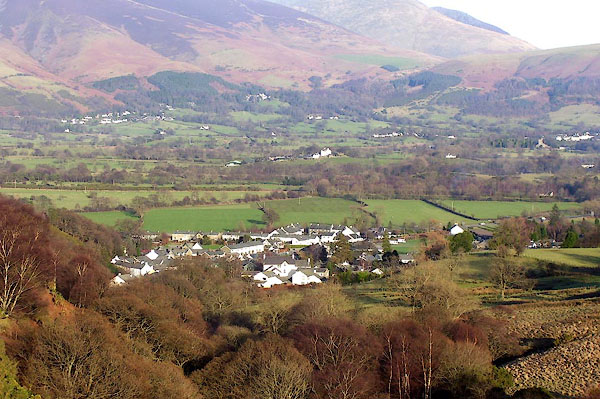
BOR96.jpg (taken 13.2.2008)
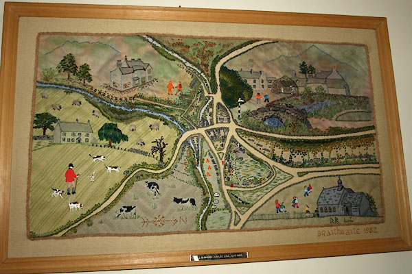
BVP69.jpg Needlework map, in St Herbert's Church.
(taken 5.11.2011)
 |
NY22472432 Braithwaite Brow (Above Derwent) |
 |
NY22932392 Braithwaite How (Above Derwent) |
 |
NY23292319 Braithwaite Lodge (Above Derwent) |
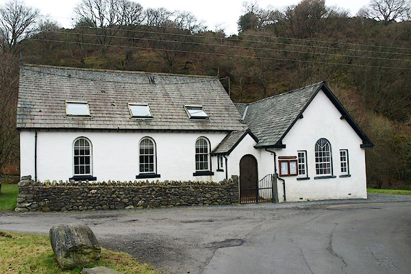 |
NY22942361 Braithwaite Methodist Chapel (Above Derwent) |
 |
NY23482415 Braithwaite Station (Above Derwent) |
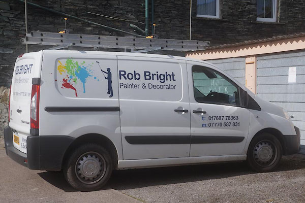 |
NY231236 Bob Bright painter and decorator (Above Derwent) |
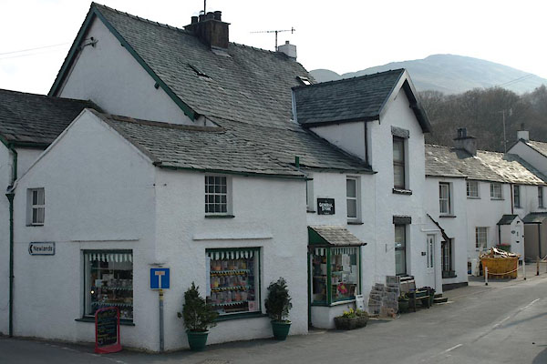 |
NY23142355 General Store, The (Above Derwent) |
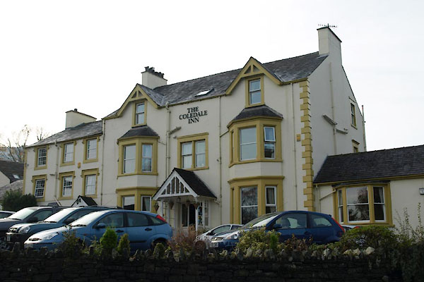 |
NY22972351 Coledale Hotel (Above Derwent) |
 |
NY23082364 Crown Inn (Above Derwent) gone? |
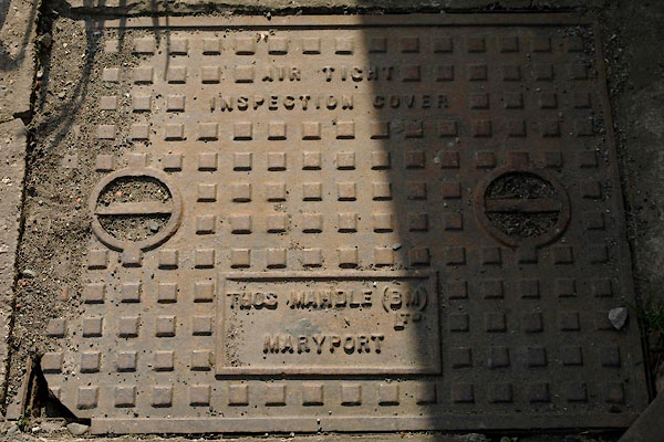 |
NY23122367 drain, Braithwaite (Above Derwent) |
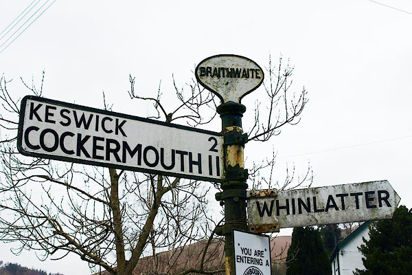 |
NY23032362 fingerpost, Braithwaite (Above Derwent) |
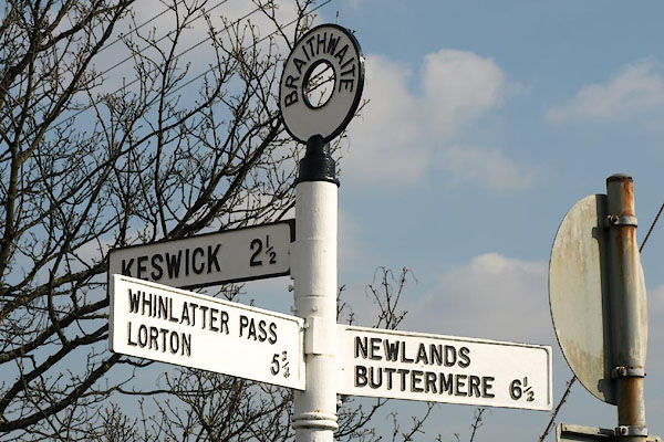 |
NY23142356 fingerpost, Braithwaite (2) (Above Derwent) |
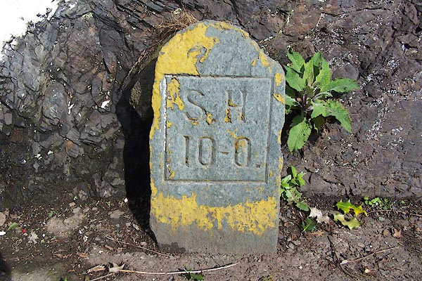 |
NY23102367 hydrant plate, Braithwaite (Above Derwent) |
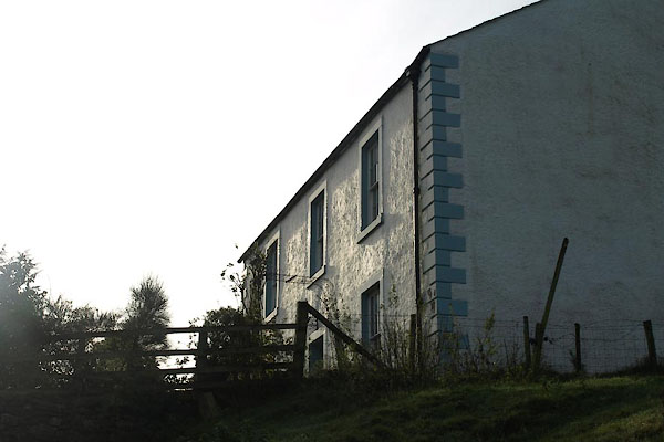 |
NY23742305 Little Braithwaite Farm (Above Derwent) L |
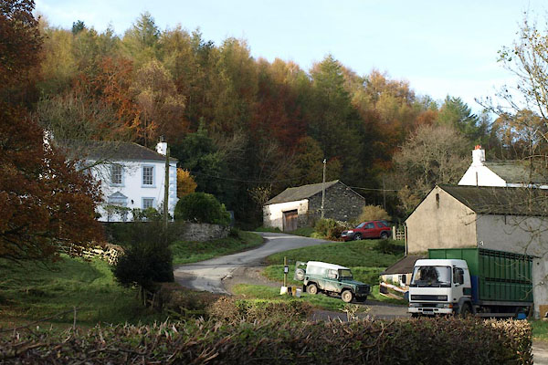 |
NY23752303 Little Braithwaite (Above Derwent) |
 |
NY23142358 Low Bridge (Above Derwent) |
 |
NY22932325 Low Coledale (Above Derwent) |
 |
Braithwaite Meeting House () possibly once |
 |
NY23002357 mill, Braithwaite (Above Derwent) |
 |
NY22872354 Millbecks (Above Derwent) |
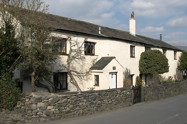 |
NY23152356 Old Farm House, The (Above Derwent) |
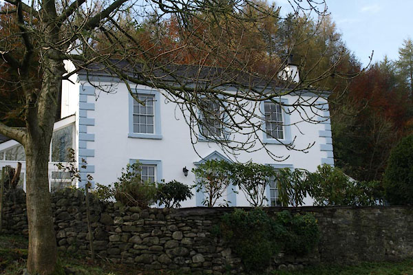 |
NY23742302 Old Manor House (Above Derwent) L |
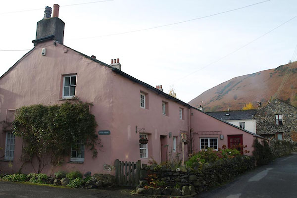 |
NY23082362 Peter House (Above Derwent) L |
 |
NY23022350 pinfold, Braithwaite (Above Derwent) gone |
 |
NY23302368 police house, Braithwaite (Above Derwent) |
 |
NY23092365 Royal Oak (Above Derwent) |
 |
NY23172368 school, Braithwaite (Above Derwent) gone |
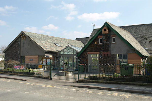 |
NY23232371 school, Braithwaite (2) (Above Derwent) |
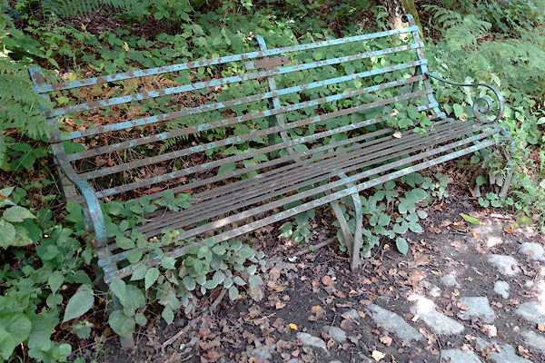 |
NY22802361 seat, Braithwaite (Above Derwent) |
 |
NY23062435 Spring Bank (Above Derwent) |
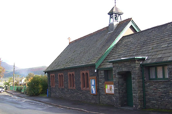 |
NY23202371 St Herbert's Church (Above Derwent) |
 |
NY22472432 Braithwaite Brow (Above Derwent) |
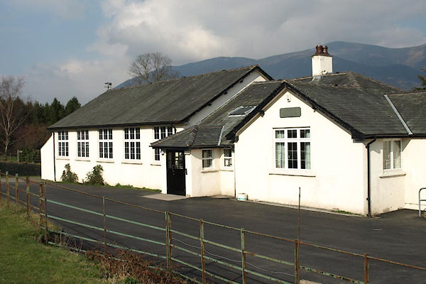 |
NY23312406 Braithwaite Village Hall (Above Derwent) |
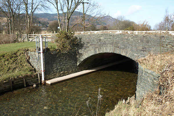 |
NY24072369 Braithwaite Bridges (Above Derwent) |
