 |
 |
   |
|
|
|
Low Bridge |
| site name:- |
Coledale Beck |
| locality:- |
Braithwaite |
| civil parish:- |
Above Derwent (formerly Cumberland) |
| county:- |
Cumbria |
| locality type:- |
bridge |
| coordinates:- |
NY23142358 |
| 1Km square:- |
NY2323 |
| 10Km square:- |
NY22 |
|
|
| evidence:- |
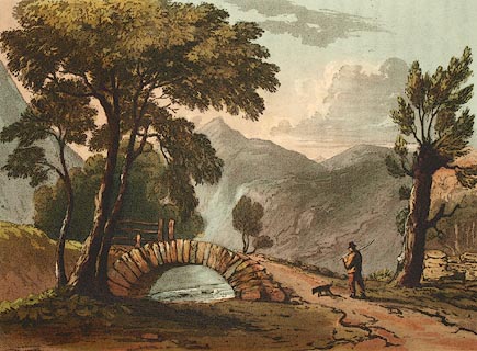
perhaps old print:- Fielding and Walton 1821 (plate 44)
|
| source data:- |
Print, coloured aquatint, Grisedale Pike, Above Derwent, Cumberland, drawn by Theodore
H A Fielding, published by R Ackermann, 101 Strand, London, 1821.
 click to enlarge click to enlarge
FW0144.jpg
The pike peeps between the tree branches: I am inclined to think the bridge might
be the one in Braithwaite village, on the Coledale Beck.
Tipped in opposite p.272 in A Picturesque Tour of the English Lakes.
item:- Dove Cottage : 1993.R566.44
Image © see bottom of page
|
|
|
| evidence:- |
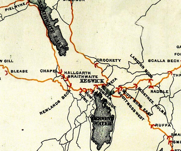
possibly old map:- Bell 1892
placename:- Braithwaite Bridge
|
| source data:- |
Map, colour lithograph, Road Map of Cumberland, by George Joseph
Bell, scale about 2.5 miles to 1 inch, printed by Charles
Thurnam and Sons, Carlisle, Cumberland, 1892.

BEL9NY22.jpg
"BRAITHWAITE"
bridge symbol
Road map of Cumberland showing County Bridges
item:- Carlisle Library : Map 38
Image © Carlisle Library |
|
|
|

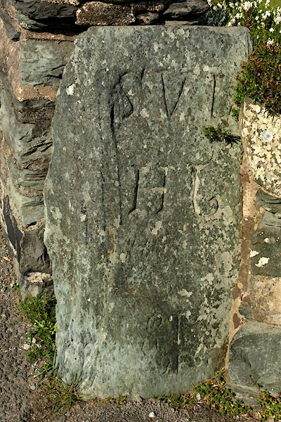
BUH25.jpg Inscribed stone leaning on the end of a parapet:-
"[S V L / H J / S T / 9F6]" (taken 28.3.2011)
|
|
|


 click to enlarge


 Lakes Guides menu.