Old Cumbria Gazetteer
 |
 |
|
||
| Braithwaite, Above Derwent | ||||
| Braithwaite | ||||
| civil parish:- | Above Derwent (formerly Cumberland) | |||
| county:- | Cumbria | |||
| locality type:- | locality | |||
| locality type:- | buildings | |||
| coordinates:- | NY23122364 (etc) | |||
| 1Km square:- | NY2323 | |||
| 10Km square:- | NY22 | |||
|
|
||||
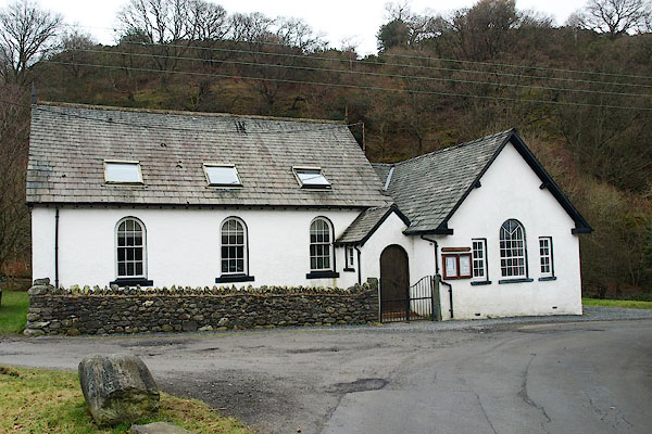
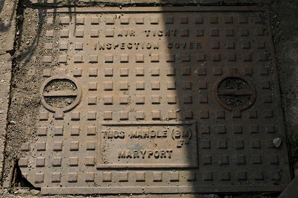
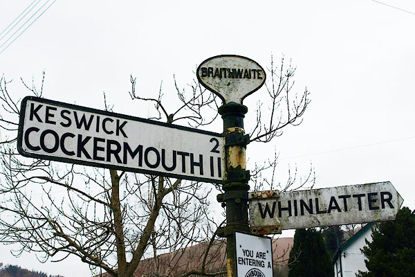
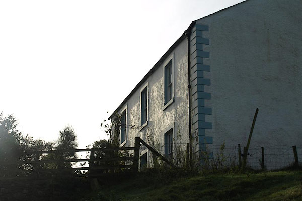
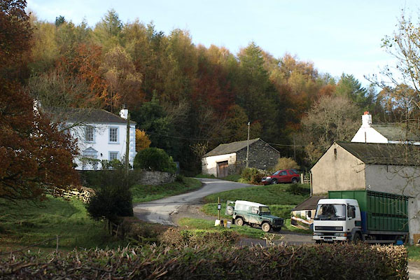
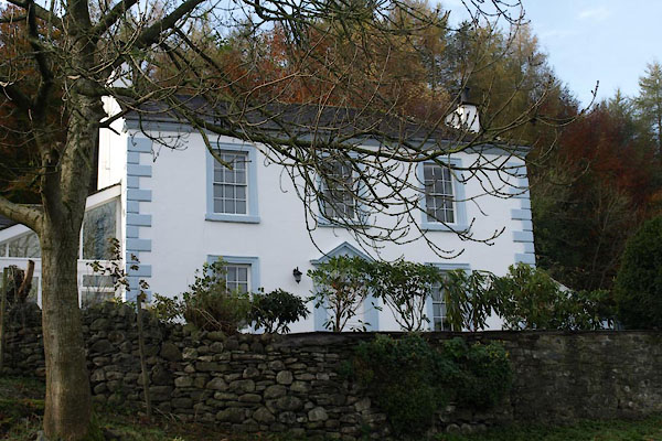
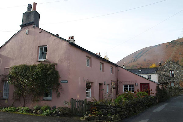
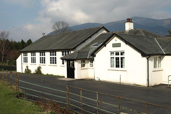
 BZO11.jpg (taken 24.10.2013) 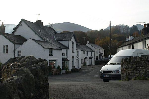 BVP68.jpg (taken 5.11.2011) |
||||
|
|
||||
| evidence:- | old map:- OS County Series (Cmd 64 5) placename:- Braithwaite |
|||
| source data:- | Maps, County Series maps of Great Britain, scales 6 and 25
inches to 1 mile, published by the Ordnance Survey, Southampton,
Hampshire, from about 1863 to 1948. |
|||
|
|
||||
| evidence:- | old map:- Saxton 1579 placename:- Brathwate |
|||
| source data:- | Map, hand coloured engraving, Westmorlandiae et Cumberlandiae Comitatus ie Westmorland
and Cumberland, scale about 5 miles to 1 inch, by Christopher Saxton, London, engraved
by Augustinus Ryther, 1576, published 1579-1645.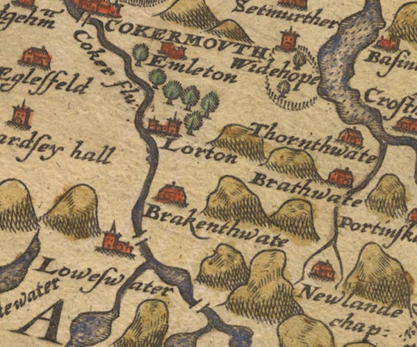 Sax9NY12.jpg Building, symbol for a hamlet, which may or may not have a nucleus. "Brathwate" item:- private collection : 2 Image © see bottom of page |
|||
|
|
||||
| evidence:- | old map:- Speed 1611 (Cmd) placename:- Brathwat |
|||
| source data:- | Map, hand coloured engraving, Cumberland and the Ancient Citie
Carlile Described, scale about 4 miles to 1 inch, by John Speed,
1610, published by J Sudbury and George Humble, Popes Head
Alley, London, 1611-12.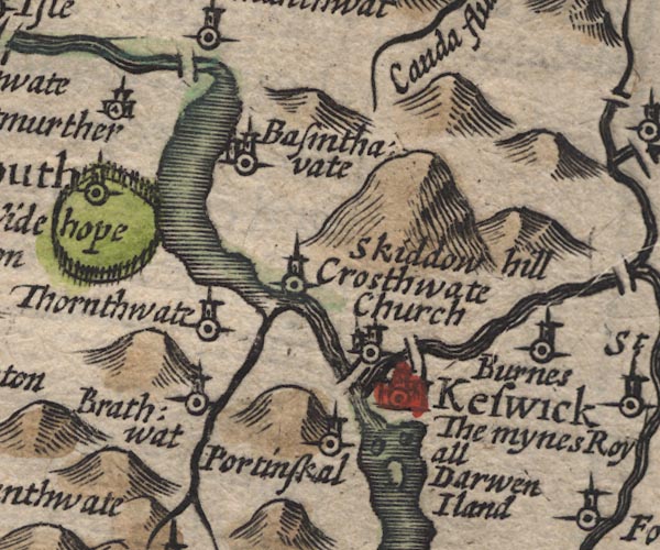 SP11NY22.jpg "Brathwat" circle, tower item:- private collection : 16 Image © see bottom of page |
|||
|
|
||||
| evidence:- | old map:- Jansson 1646 placename:- Brathwat |
|||
| source data:- | Map, hand coloured engraving, Cumbria and Westmoria, ie
Cumberland and Westmorland, scale about 3.5 miles to 1 inch, by
John Jansson, Amsterdam, Netherlands, 1646.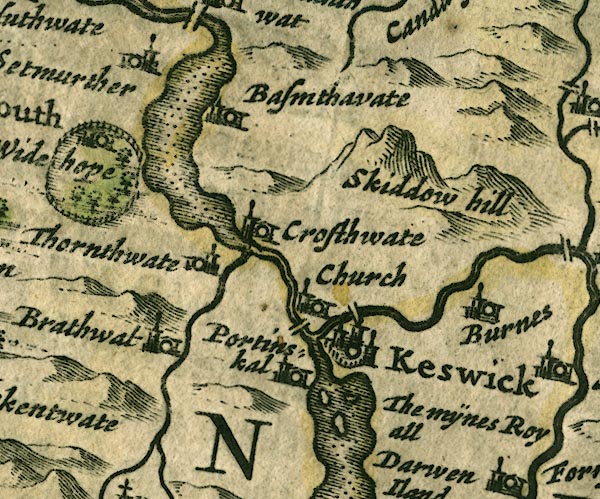 JAN3NY22.jpg "Brathwat" Buildings and tower. item:- JandMN : 88 Image © see bottom of page |
|||
|
|
||||
| evidence:- | old map:- Seller 1694 (Cmd) placename:- Bratwat |
|||
| source data:- | Map, uncoloured engraving, Cumberland, scale about 12 miles to 1
inch, by John Seller, 1694. click to enlarge click to enlargeSEL9.jpg "Bratwat" circle, italic lowercase text; settlement or house item:- Dove Cottage : 2007.38.89 Image © see bottom of page |
|||
|
|
||||
| evidence:- | old map:- Morden 1695 (Cmd) placename:- Brathwate |
|||
| source data:- | Map, uncoloured engraving, Cumberland, scale about 4 miles to 1
inch, by Robert Morden, 1695, published by Abel Swale, the
Unicorn, St Paul's Churchyard, Awnsham, and John Churchill, the
Black Swan, Paternoster Row, London, 1695-1715.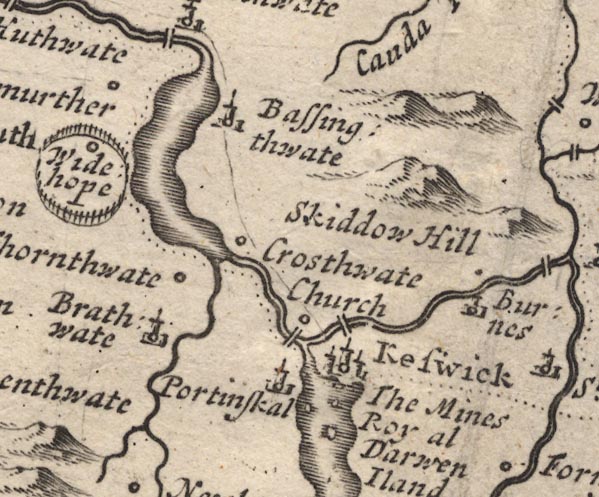 MD12NY22.jpg "Brathwate" Circle, building and tower. item:- JandMN : 90 Image © see bottom of page |
|||
|
|
||||
| evidence:- | old map:- Bowen and Kitchin 1760 placename:- Brathwate |
|||
| source data:- | Map, hand coloured engraving, A New Map of the Counties of
Cumberland and Westmoreland Divided into their Respective Wards,
scale about 4 miles to 1 inch, by Emanuel Bowen and Thomas
Kitchin et al, published by T Bowles, Robert Sayer, and John
Bowles, London, 1760.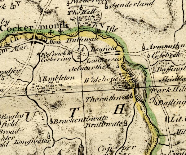 BO18NY12.jpg "Brathwate" circle, tower item:- Armitt Library : 2008.14.10 Image © see bottom of page |
|||
|
|
||||
| evidence:- | old map:- Donald 1774 (Cmd) placename:- Braithwaite |
|||
| source data:- | Map, hand coloured engraving, 3x2 sheets, The County of Cumberland, scale about 1
inch to 1 mile, by Thomas Donald, engraved and published by Joseph Hodskinson, 29
Arundel Street, Strand, London, 1774.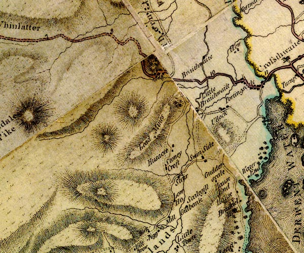 D4NY22SW.jpg "Braithwaite" block or blocks, labelled in lowercase; a hamlet or just a house item:- Carlisle Library : Map 2 Image © Carlisle Library |
|||
|
|
||||
| evidence:- | old text:- Clarke 1787 placename:- Great Braithwaite item:- charity; fruit |
|||
| source data:- | Guide book, A Survey of the Lakes of Cumberland, Westmorland,
and Lancashire, written and published by James Clarke, Penrith,
Cumberland, and in London etc, 1787; published 1787-93. goto source goto sourcePage 91:- "..." "We next come to Great Brathwaite, a pretty village. This place and Thornthwaite are remarkable for producing the best fruit in Cumberland. A stranger would here imagine himself at his journey's end; the road winds in between two mountains in such a manner that no one can perceive its course." "The tenants here are all customary, one only excepted. Formerly the poor in these northern parts were extremely distressed; on this account many charities have been given them, by people born in the neighbourhood who had acquired large fortunes. There is not a town or village but what has had two or three donations, (a thing I before forgot to take notice of, and which does credit to the natives) from those who in" goto sourcePage 92:- "their affluence did not forget their distressed neighbours, who were so frequently plundered of everything they had." "One Peter Uldale, born at this place, left 4l. 11s. 4d. to be distributed as follows; 3s. and 8d. each, to twelve poor people of Great Brathwaite, five of Little Brathwaite, Portingsgill, and Ullock, and three of Thornthwaite; to be distributed every year on Candlemas day, and to paid out of certain of his lands in Essex. This was not very well paid by Mr Uldale's representatives; whereupon Mr Lowry, Vicar of Crossthwaite, in 1681 brought an action against them, and recovered about thirty pounds Sterling; the interest of which is distributed by the Vicar and Trustees on the same day. Such charities as these now-a-days only relieve the parish at large. Pity such should be enjoyed by the rich! they were meant for the poor. Charities are not now so valuable as they were formerly, since the Legislature has made such excellent laws for their maintenance." |
|||
|
|
||||
| evidence:- | road book:- Cary 1798 (2nd edn 1802) placename:- Braithwaite |
|||
| source data:- | Road book, itineraries, Cary's New Itinerary, by John Cary, 181
Strand, London, 2nd edn 1802. goto source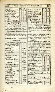 click to enlarge click to enlargeC38317.jpg page 317-318 "Braithwaite" item:- JandMN : 228.1 Image © see bottom of page |
|||
|
|
||||
| evidence:- | old map:- Cooke 1802 placename:- Brathwaite |
|||
| source data:- | Map, Cumberland, scale about 15.5 miles to 1 inch, by George
Cooke, 1802, bound in Gray's New Book of Roads, 1824, published
by Sherwood, Jones and Co, Paternoster Road, London, 1824. click to enlarge click to enlargeGRA1Cd.jpg "Brathwaite" blocks, italic lowercase text, village, hamlet, locality item:- Hampshire Museums : FA2000.62.2 Image © see bottom of page |
|||
|
|
||||
| evidence:- | old map:- Laurie and Whittle 1806 placename:- Braithwaite |
|||
| source data:- | Road map, Completion of the Roads to the Lakes, scale about 10
miles to 1 inch, by Nathaniel Coltman? 1806, published by Robert
H Laurie, 53 Fleet Street, London, 1834. click to enlarge click to enlargeLw18.jpg "Braithwaite 296½" village or other place; distance from London item:- private collection : 18.18 Image © see bottom of page |
|||
|
|
||||
| evidence:- | old map:- Cooper 1808 placename:- Braithwaite |
|||
| source data:- | Map, uncoloured engraving, Cumberland, scale about 10.5 miles to
1 inch, drawn and engraved by Cooper, published by R Phillips,
Bridge Street, Blackfriars, London, 1808. click to enlarge click to enlargeCOP3.jpg "Braithwaite" circle; village or hamlet item:- JandMN : 86 Image © see bottom of page |
|||
|
|
||||
| evidence:- | old map:- Wallis 1810 (Cmd) placename:- Brathwate |
|||
| source data:- | Road map, hand coloured engraving, Cumberland, scale about 16
miles to 1 inch, by James Wallis, 77 Berwick Stree, Soho,
London, 1810. click to enlarge click to enlargeWL13.jpg "Brathwate" village, hamlet, house, ... item:- Dove Cottage : 2009.81.10 Image © see bottom of page |
|||
|
|
||||
| evidence:- | old print:- Wilkinson 1810 (plate 25) placename:- Braithwaite item:- sheep |
|||
| source data:- | Print, uncoloured soft ground etching, Cottages at Braithwaite, Cumberland, by Joseph
Wilkinson, engraved by William Frederick Wells, published by R Ackermann, Repository
of Arts, 101 Strand, London, 1810.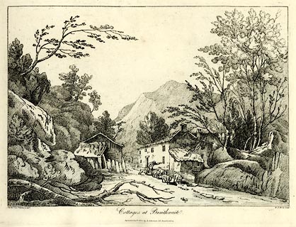 click to enlarge click to enlargeWKN125.jpg Plate 25 in Select Views in Cumberland, Westmoreland, and Lancashire. printed at bottom left, right, centre:- "The Revd. Jos: Wilkinson delt. / W. F. Wells Sculpt. / Cottages at Braithwaite. / Publish'd Jany. 1. 1810. by R. Ackerman. 101. Strand. London." item:- Fell and Rock Climbing Club : MN4.25 Image © see bottom of page |
|||
|
|
||||
| evidence:- | old print:- Wilkinson 1810 (plate 26) placename:- Braithwaite |
|||
| source data:- | Print, uncoloured soft ground etching, Cottages at Braithwaite, Cumberland, by Joseph
Wilkinson, engraved by William Frederick Wells, published by R Ackermann, Repository
of Arts, 101 Strand, London, 1810.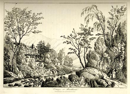 click to enlarge click to enlargeWKN126.jpg Plate 26 in Select Views in Cumberland, Westmoreland, and Lancashire. printed at bottom left, right, centre:- "The Revd. J. Wilkenson delt. / W. F. Wells Sculpt. / Cottages at Braithwaite. / London. Pubd. April 1. 1810. by R. Ackermann. 101. Strand." item:- Fell and Rock Climbing Club : MN4.26 Image © see bottom of page |
|||
|
|
||||
| evidence:- | old map:- Otley 1818 placename:- Braithwaite |
|||
| source data:- | Map, uncoloured engraving, The District of the Lakes,
Cumberland, Westmorland, and Lancashire, scale about 4 miles to
1 inch, by Jonathan Otley, 1818, engraved by J and G Menzies,
Edinburgh, Scotland, published by Jonathan Otley, Keswick,
Cumberland, et al, 1833.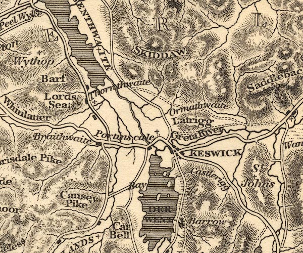 OT02NY22.jpg item:- JandMN : 48.1 Image © see bottom of page |
|||
|
|
||||
| evidence:- | old map:- Ford 1839 map placename:- Braithwaite |
|||
| source data:- | Map, uncoloured engraving, Map of the Lake District of
Cumberland, Westmoreland and Lancashire, scale about 3.5 miles
to 1 inch, published by Charles Thurnam, Carlisle, and by R
Groombridge, 5 Paternoster Row, London, 3rd edn 1843. FD02NY22.jpg "Braithwaite" item:- JandMN : 100.1 Image © see bottom of page |
|||
|
|
||||
| evidence:- | old text:- Miller 1847 placename:- Braithwaite item:- storm; rain; wind; whirlwind |
|||
| source data:- | Book, Report on the Fall of Rain in the Lake Districts of
Cumberland and Westmoreland in 1846, by John Fletcher Miller,
printed by G Irwin, Lowther Street, Whitehaven, Cumberland, 1847. goto source Page 7:- "..." "A correspondent of the Whitehaven Herald states, "On Friday (the 9th of October last) the rain poured down in torrents, with a high wind, which, towards evening increased to a complete hurricane. At the village of Braithwaite, near Keswick, the blast came down the side of Grisedale, resembling a whirlwind, and swept through the village. A heavy cart, standing near to Messrs. Simms' manufactory, was lifted by the wind, and after being" Miller 1847 goto sourcePage 8:- "whirled about, was finally set down at a distance of 20 yards."" |
|||
|
|
||||
 Martineau Directory 1855 Martineau Directory 1855 |
||||
|
|
||||
| evidence:- | old map:- Postlethwaite 1877 (3rd edn 1913) placename:- Braithwaite |
|||
| source data:- | Map, uncoloured engraving, Map of the Lake District Mining Field, Westmorland, Cumberland,
Lancashire, scale about 5 miles to 1 inch, by John Postlethwaite, published by W H
Moss and Sons, 13 Lowther Street, Whitehaven, Cumberland, 1877 edn 1913. PST2NY22.jpg "BRAITHWAITE" dots, roads, nearby station on railway item:- JandMN : 162.2 Image © see bottom of page |
|||
|
|
||||
| evidence:- | old map:- Post Office 1850s-1900s placename:- Braithwaite |
|||
| source data:- | Post road maps, General Post Office Circulation Map for England
and Wales, for the General Post Office, London, 1850s-1900s. click to enlarge click to enlargePOF7Cm.jpg "Braithwaite" map date 1909 |
|||
|
|
||||
| evidence:- | old map:- Post Office 1850s-1900s placename:- Braithwaite |
|||
| source data:- | Post road maps, General Post Office Circulation Map for England
and Wales, for the General Post Office, London, 1850s-1900s. click to enlarge click to enlargePF10Cm.jpg "Braithwaite" map date 1892 |
|||
|
|
||||
| evidence:- | old map:- Post Office 1850s-1900s placename:- Braithwaite |
|||
| source data:- | Post road maps, General Post Office Circulation Map for England
and Wales, for the General Post Office, London, 1850s-1900s. click to enlarge click to enlargePOF2Cm.jpg "Braithwaite" map date 1890 |
|||
|
|
||||
| evidence:- | old map:- Post Office 1850s-1900s placename:- Braithwaite |
|||
| source data:- | Post road maps, General Post Office Circulation Map for England
and Wales, for the General Post Office, London, 1850s-1900s.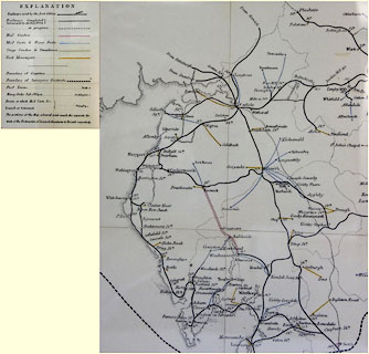 click to enlarge click to enlargePOF8Cm.jpg "Braithwaite" map date 1873 |
|||
|
|
||||
| :- |
images courtesy of the British Postal Museum and Hampshire CC Museums |
|||
|
|
||||
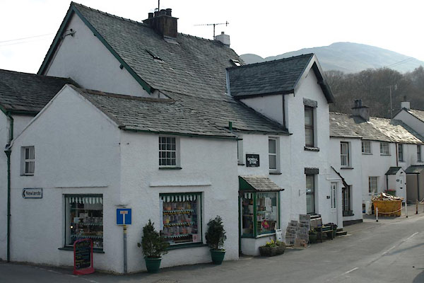
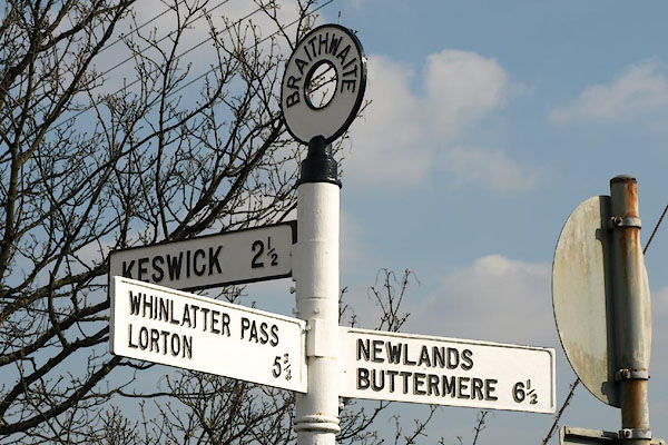
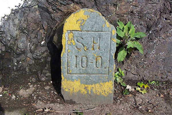
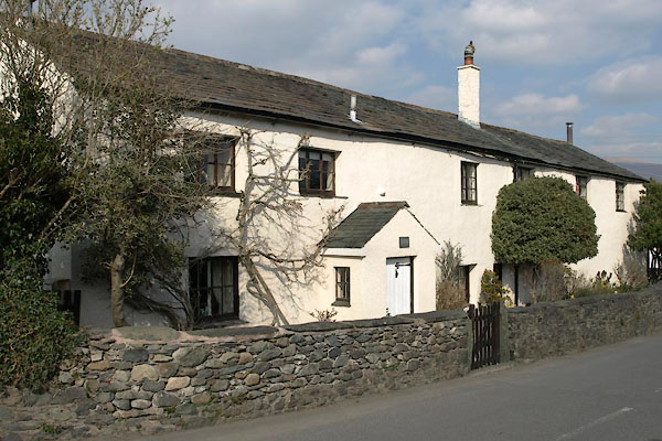
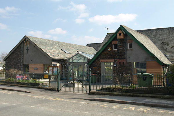
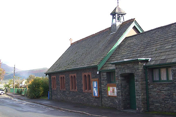
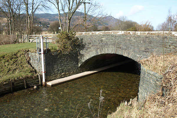
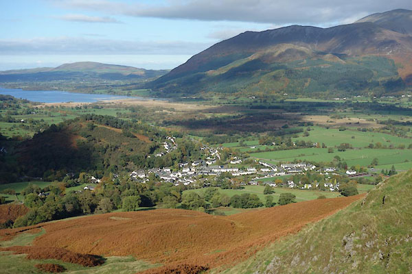
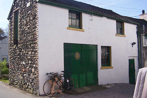 BNP48.jpg Bicycle shop? (taken 26.4.2007) 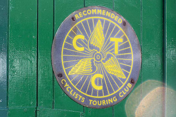 BNP49.jpg CTC recommendation sign on the bicycle shop. (taken 26.4.2007) 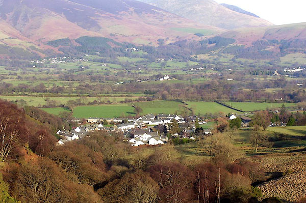 BOR96.jpg (taken 13.2.2008) |
||||
|
|
||||
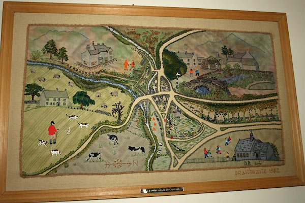 BVP69.jpg Needlework map, in St Herbert's Church. (taken 5.11.2011) |
||||
|
|
||||
| hearsay:- |
You can look up from Low Bridge to streets called Duck Street, The Puddle, and The
Island. |
|||
| There were pencil mills here. |
||||
| Candlemas Tea is served to widows in the village at the Royal Oak, after attending
a church service. The tea is paid for by income from a plot of land. The custom dates
from the Civil War period, 17th century. The tea is a replacement for the beer of
the original custom. |
||||
| Miners lived her: there used to be the rattle of clogs leaving for the mines early
in the mornings and coming back late in the evenings. |
||||
|
|
||||
| places:- |
|
|||
|
||||
|
||||
|
||||
|
||||
|
||||
|
||||
|
||||
|
||||
|
||||
|
||||
|
||||
|
||||
|
||||
|
||||
|
||||
|
||||
|
||||
|
||||
|
||||
|
||||
|
||||
|
||||
|
||||
|
||||
|
||||
|
||||
|
||||
|
||||
|
||||
|
||||
|
||||
|
||||
|
||||
Lakes Guides menu.