 |
 |
|
|
|
|
Banks |
| civil parish:- |
Burtholme (formerly Cumberland) |
| county:- |
Cumbria |
| locality type:- |
locality |
| locality type:- |
buildings |
| coordinates:- |
NY56646455 (etc) |
| 1Km square:- |
NY5664 |
| 10Km square:- |
NY56 |
|
|
| evidence:- |
old map:- OS County Series (Cmd 12 14)
placename:- Banks
|
| source data:- |
Maps, County Series maps of Great Britain, scales 6 and 25
inches to 1 mile, published by the Ordnance Survey, Southampton,
Hampshire, from about 1863 to 1948.
|
|
|
| evidence:- |
old map:- Ford 1839 map
placename:- Banks
|
| source data:- |
Map, uncoloured engraving, Map of the Lake District of
Cumberland, Westmoreland and Lancashire, scale about 3.5 miles
to 1 inch, published by Charles Thurnam, Carlisle, and by R
Groombridge, 5 Paternoster Row, London, 3rd edn 1843.
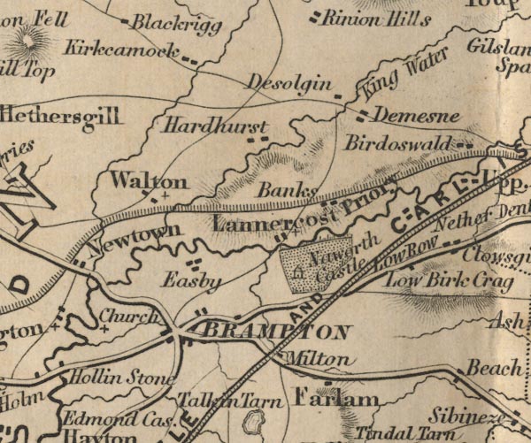
FD02NY56.jpg
"Banks"
item:- JandMN : 100.1
Image © see bottom of page
|
|
|
| places:- |
 |
NY5645 Banks Burn (Burtholme) |
|
|
 |
NY56516438 Banks Foot (Burtholme) L |
|
|
|
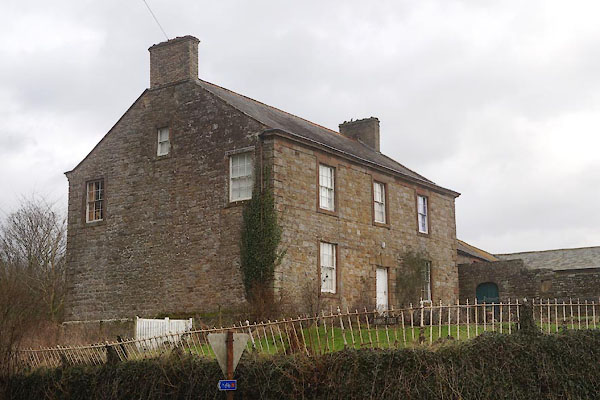
NY56816444 Banks House (Burtholme) |
|
|
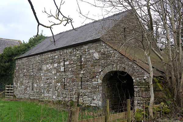 |
NY56766458 barn, Banks (Burtholme) |
|
|
|
NY56456507 Barras House (Burtholme) |
|
|
|
NY56426516 Barras Lodge (Burtholme) |
|
|
|
NY56506493 Barras Top (Burtholme) |
|
|
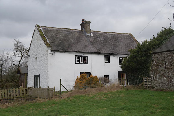 |
NY56756459 Bell's Cottage (Burtholme) L |
|
|
|
NY56736490 Calees (Burtholme) |
|
|
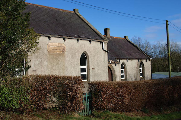 |
NY56576483 chapel, Banks (Burtholme) |
|
|
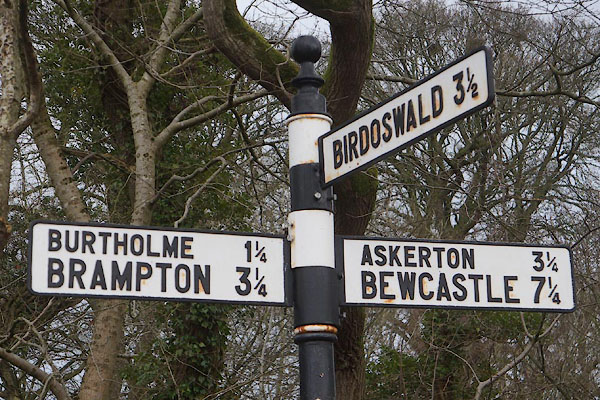 |
NY56486434 fingerpost, Burtholme (Burtholme) |
|
|
|
NY56286463 Hare Hill (Burtholme) |
|
|
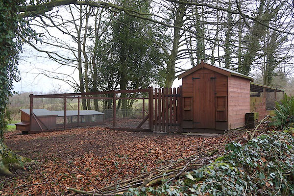 |
NY56796460 hen house, Banks (Burtholme) |
|
|
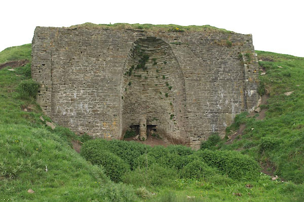 |
NY55607481 limekiln, Bewcastle (Bewcastle) |
|
|
|
NY56906458 Middle Banks (Burtholme) |
|
|
|
NY57096457 Plough (Burtholme) |
|
