 Old Cumbria Gazetteer
 |
 |
|
| limekiln, Bewcastle | ||
| locality:- | Banks | |
| civil parish:- | Bewcastle (formerly Cumberland) | |
| county:- | Cumbria | |
| locality type:- | limekiln | |
| locality type:- | limestone quarry | |
| locality type:- | quarry | |
| coordinates:- | NY55607481 | |
| 1Km square:- | NY5574 | |
| 10Km square:- | NY57 | |
|
|
||
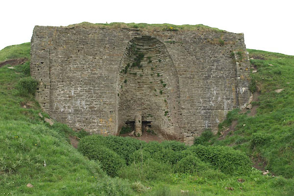 BWQ10.jpg (taken 1.6.2012) |
||
|
|
||
| evidence:- | old map:- OS County Series (Cmd 8 2) |
|
| source data:- | Maps, County Series maps of Great Britain, scales 6 and 25
inches to 1 mile, published by the Ordnance Survey, Southampton,
Hampshire, from about 1863 to 1948. "Quarries / Limekiln" |
|
|
|
||
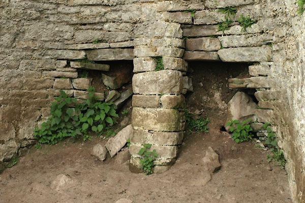 BWQ11.jpg (taken 1.6.2012) 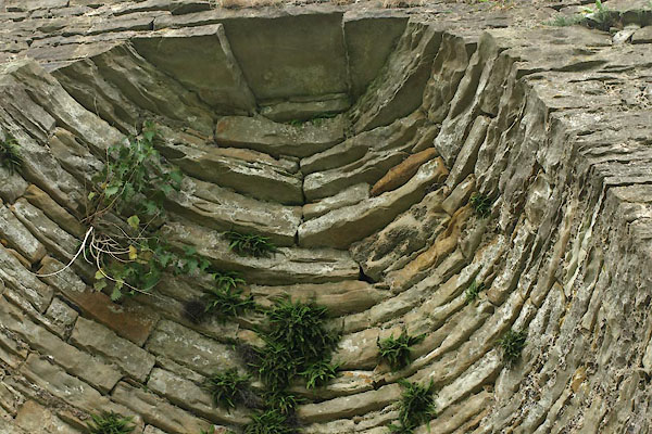 BWQ12.jpg (taken 1.6.2012) 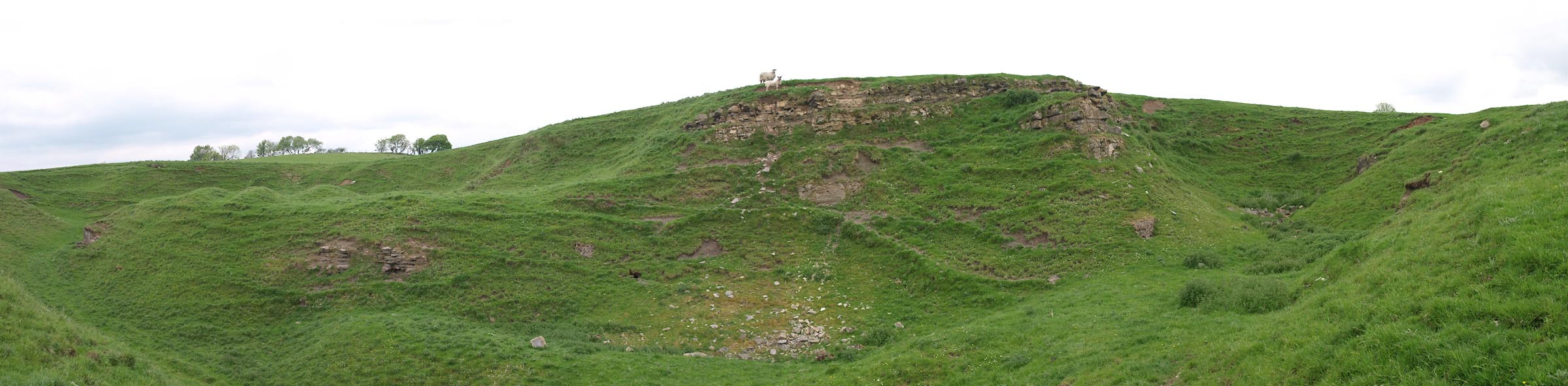 Click to enlarge BWQ13.jpg Quarry, (taken 1.6.2012) |
||
|
|
||
 Lakes Guides menu.