 Old Cumbria Gazetteer
 |
 |
|
| motorway bridge, Shap Rural (2) | ||
| site name:- | M6, Westmorland | |
| locality:- | ||
| civil parish:- | Shap Rural (formerly Westmorland) | |
| county:- | Cumbria | |
| locality type:- | motorway bridge | |
| coordinates:- | NY57381549 | |
| coordinates:- | NY57461550 | |
| 1Km square:- | NY5715 | |
| 10Km square:- | NY51 | |
| SummaryText:- | separate bridges for north bound and south bound carriageways | |
|
|
||
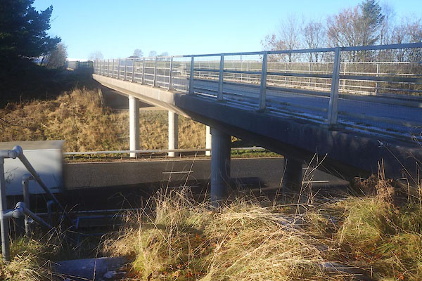 CFS72.jpg East bridge, south bound carriageway (taken 25.11.2016) 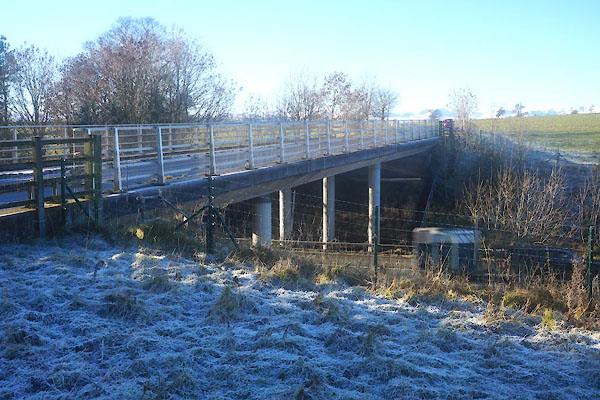 CFS75.jpg West bridge, north bound carriageway (taken 25.11.2016) |
||
|
|
||
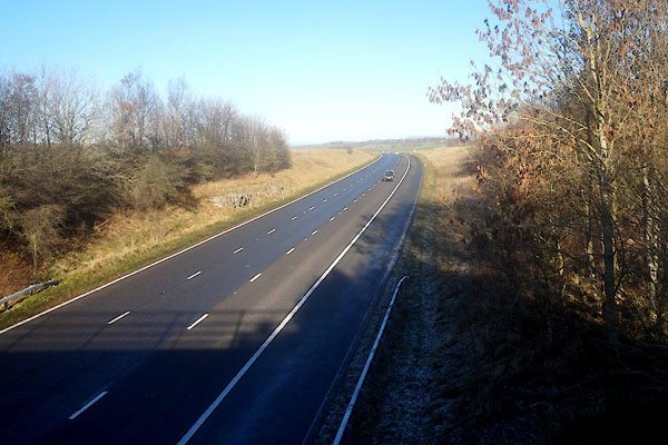 CFS73.jpg East bridge, south bound, view N. (taken 25.11.2016) 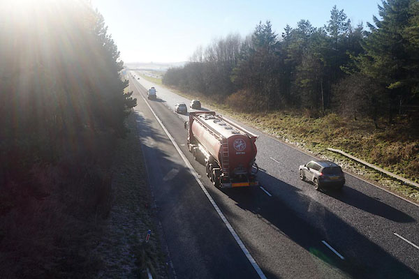 CFS74.jpg East bridge, south bound, view S. (taken 25.11.2016) 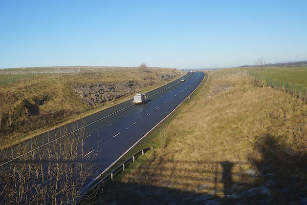 CFS76.jpg West bridge, north bound, view N. (taken 25.11.2016) 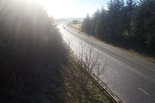 CFS77.jpg West bridge, north bound, view S. (taken 25.11.2016) |
||
|
|
||
 Lakes Guides menu.