 Old Cumbria Gazetteer
 |
 |
|
| M6, junction 39 | ||
| M6 junction 39 | ||
| Shap Interchange | ||
| Shap Interchange Bridge | ||
| site name:- | M6, Westmorland | |
| civil parish:- | Shap Rural (formerly Westmorland) | |
| county:- | Cumbria | |
| locality type:- | motorway junction | |
| locality type:- | motorway bridge | |
| coordinates:- | NY58021274 | |
| 1Km square:- | NY5812 | |
| 10Km square:- | NY51 | |
|
|
||
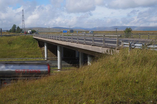 CFJ70.jpg (taken 23.8.2016) |
||
|
|
||
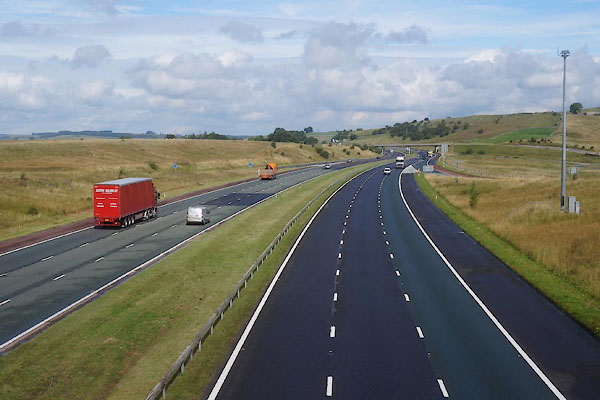 CFJ71.jpg view N. (taken 23.8.2016) 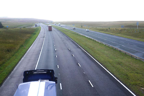 CFJ72.jpg view S. (taken 23.8.2016) |
||
|
|
||
| connects to:- | [A6 road] | |
|
|
||
 Lakes Guides menu.