 Old Cumbria Gazetteer
 |
 |
|
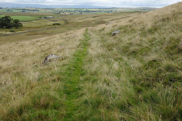
| Kirkgate, Swindale | ||
| Kirkgate | ||
| locality:- | Swindale | |
| civil parish:- | Shap Rural (formerly Westmorland) | |
| county:- | Cumbria | |
| locality type:- | corpse road | |
| locality type:- | track | |
| coordinates:- | NY52331349 (etc etc) | |
| 1Km square:- | NY5213 | |
| 10Km square:- | NY51 | |
|
|
||
 CBK49.jpg (taken 19.8.2014) 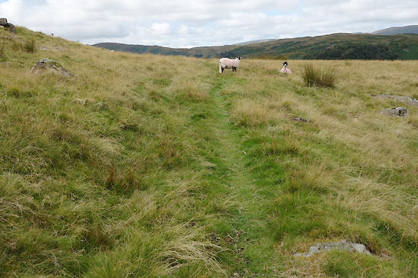 CBK50.jpg (taken 19.8.2014) |
||
|
|
||
| evidence:- | old map:- OS County Series (Wmd 20 4) placename:- Kirkgate |
|
| source data:- | Maps, County Series maps of Great Britain, scales 6 and 25
inches to 1 mile, published by the Ordnance Survey, Southampton,
Hampshire, from about 1863 to 1948. |
|
|
|
||
 CBK88.jpg (taken 19.8.2014) 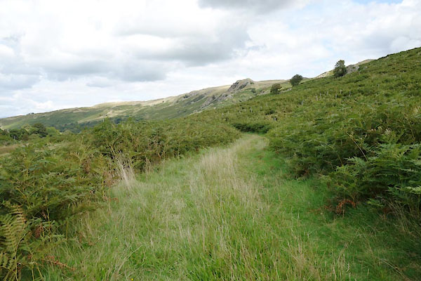 CBK89.jpg (taken 19.8.2014) |
||
|
|
||
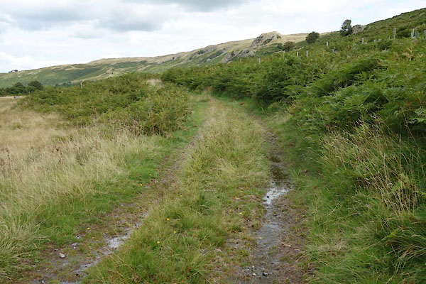
| continuation of:- |  Old Corpse Road, Shap Rural Old Corpse Road, Shap Rural |
|
|
|
||
Lakes Guides menu.