 Old Cumbria Gazetteer
 |
 |
|
| Kershope Mill, Kershopefoot | ||
| Kershope Mill | ||
| Kershopefoot Mill | ||
| site name:- | Kershope Burn | |
| locality:- | Kershopefoot | |
| civil parish:- | Nicholforest (formerly Cumberland) | |
| county:- | Cumbria | |
| locality type:- | buildings | |
| locality type:- | mill (ex) | |
| locality type:- | water mill (ex) | |
| coordinates:- | NY47988283 | |
| 1Km square:- | NY4782 | |
| 10Km square:- | NY48 | |
|
|
||
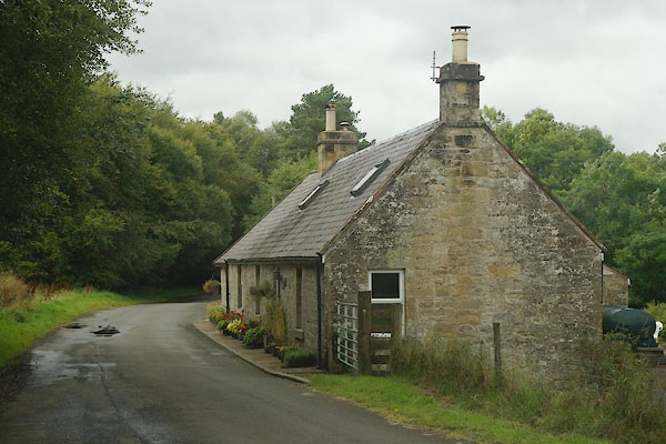 CBN66.jpg (taken 29.8.2014) |
||
|
|
||
| evidence:- | old map:- OS County Series (Cmd 3 2) placename:- Kershopefoot Mill |
|
| source data:- | Maps, County Series maps of Great Britain, scales 6 and 25
inches to 1 mile, published by the Ordnance Survey, Southampton,
Hampshire, from about 1863 to 1948. "Kershopefoot Mill" |
|
| source data:- | Maps, County Series maps of Great Britain, scales 6 and 25
inches to 1 mile, published by the Ordnance Survey, Southampton,
Hampshire, from about 1863 to 1948. "Old Mill Race" |
|
|
|
||
 Lakes Guides menu.