 |
 |
   |
|
|
|
High Fellside Quarries |
|
High Fell Quarries |
| locality:- |
Tilberthwaite |
| civil parish:- |
Coniston (formerly Lancashire) |
| county:- |
Cumbria |
| locality type:- |
slate quarry |
| locality type:- |
quarry |
| locality type:- |
workplace |
| coordinates:- |
NY30540209 (etc) |
| 1Km square:- |
NY3002 |
| 10Km square:- |
NY30 |
| altitude:- |
1129 feet |
| altitude:- |
344m |
|
|
MN photo:-
|
The quarry face (NY30490187) being worked is several hundred yards from the working
floor.
|
|
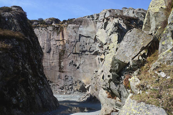
CCX04.jpg (taken 22.4.2015)
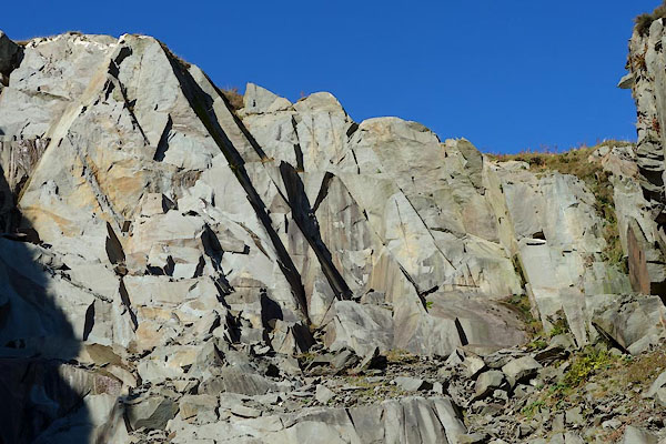
CBZ48.jpg (taken 29.10.2014)
|
|
|
| evidence:- |
old map:- OS County Series (Lan 1 8)
placename:- High Fellside Quarries
placename:- Fellside Quarries, High
|
| source data:- |
Maps, County Series maps of Great Britain, scales 6 and 25
inches to 1 mile, published by the Ordnance Survey, Southampton,
Hampshire, from about 1863 to 1948.
|
|
|
| evidence:- |
possibly old map:- Postlethwaite 1877 (3rd edn 1913)
|
| source data:- |
Map, uncoloured engraving, Map of the Lake District Mining Field, Westmorland, Cumberland,
Lancashire, scale about 5 miles to 1 inch, by John Postlethwaite, published by W H
Moss and Sons, 13 Lowther Street, Whitehaven, Cumberland, 1877 edn 1913.
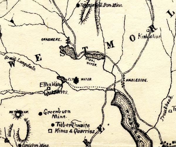
PST2NY30.jpg
"Tilberthwaite Mines and Quarries"
mine symbol, quarry symbol
item:- JandMN : 162.2
Image © see bottom of page
|
|
|
|
 pictures in the workshop pictures in the workshop |
|
|
MN photo:-
|
Quarry (NY30490187)
|
|
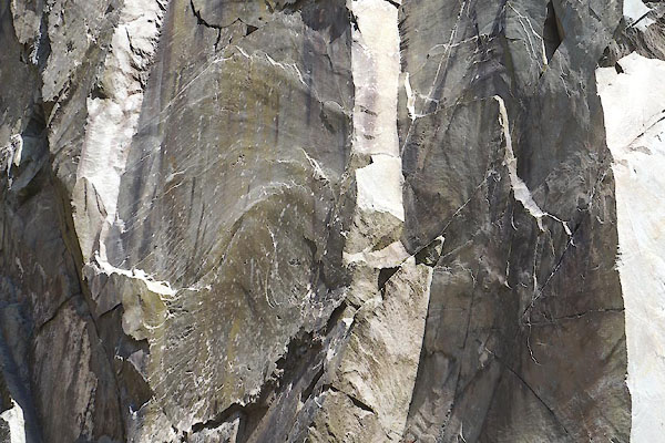
CCX12.jpg (taken 22.4.2015)
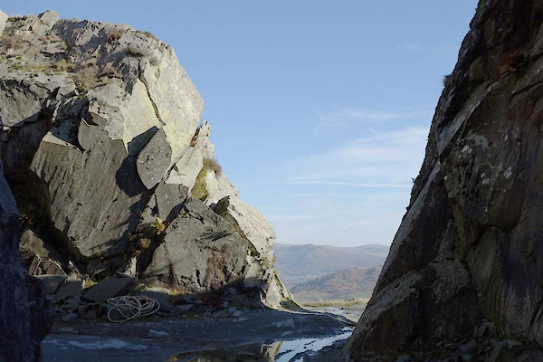
CBZ45.jpg (taken 29.10.2014)
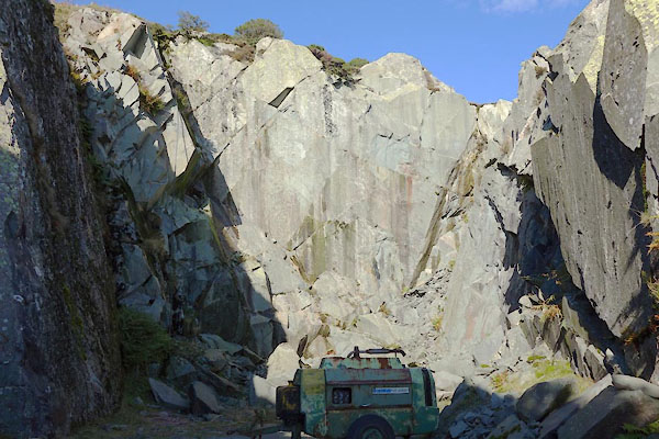
CBZ46.jpg (taken 29.10.2014)
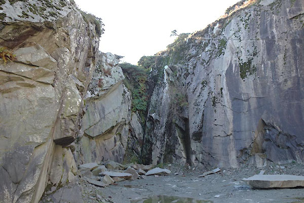
CBZ47.jpg (taken 29.10.2014)
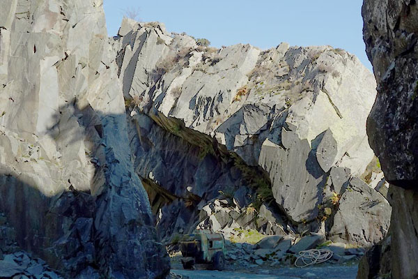
CBZ56.jpg (taken 29.10.2014)
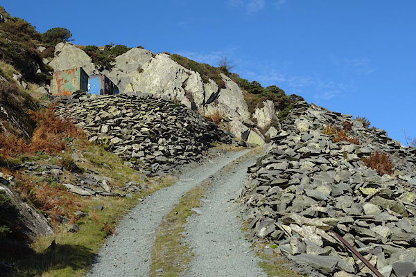
CBZ43.jpg Track to quarry,
(taken 29.10.2014)
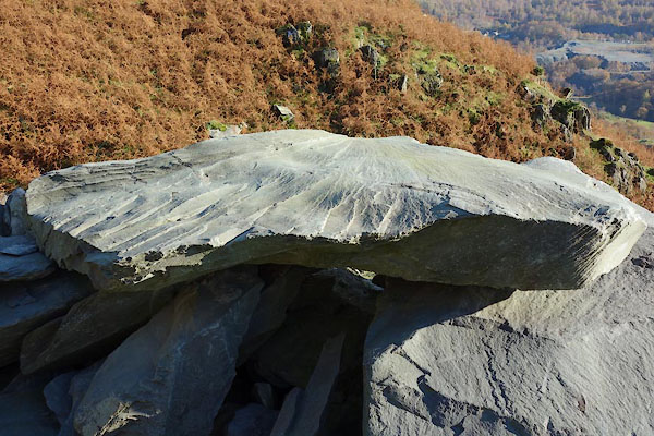
CBZ42.jpg (taken 29.10.2014)
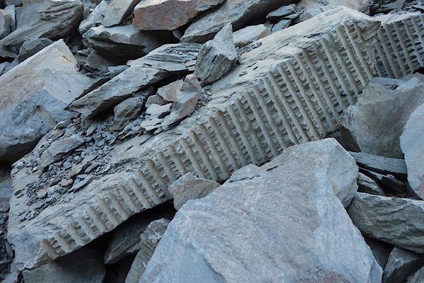
CBZ44.jpg (taken 29.10.2014)
|
|
|
MN photo:-
|
Old compressor, and air pipe in use.
|
|
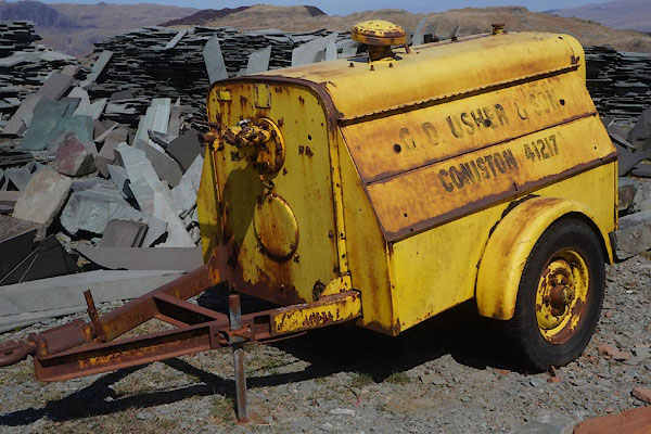
CCX52.jpg Compressor.
(taken 22.4.2015)
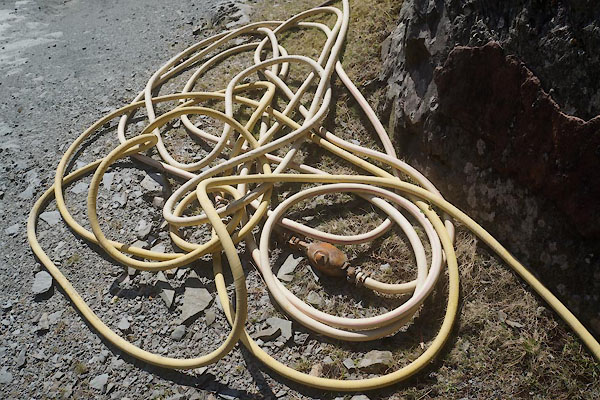
CCX07.jpg Air hose.
(taken 22.4.2015)
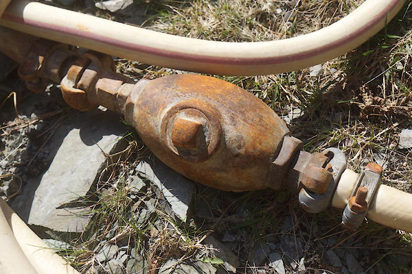
CCX08.jpg Air hose.
(taken 22.4.2015)
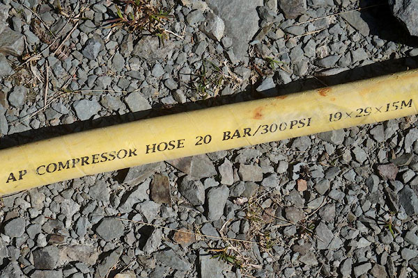
CCX09.jpg Air hose.
(taken 22.4.2015)
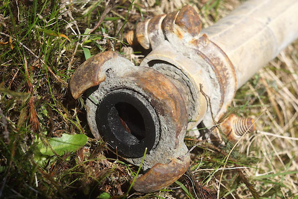
CCX10.jpg Air hose.
(taken 22.4.2015)
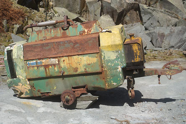
CCX05.jpg Old compressor.
(taken 22.4.2015)
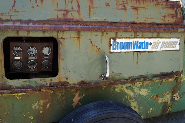
CCX06.jpg Old compressor.
(taken 22.4.2015)
|
|
|
MN photo:-
|
Another quarry.
|
|
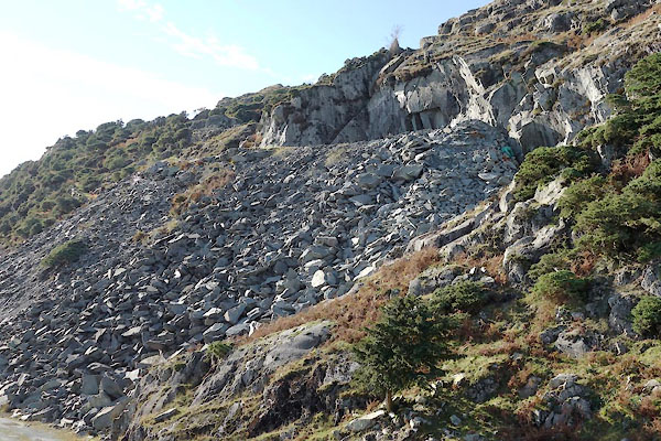
CBZ49.jpg Quarry,
(taken 29.10.2014)
|
|
|
|
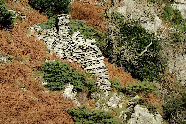
CBZ41.jpg Hut,
(taken 29.10.2014)
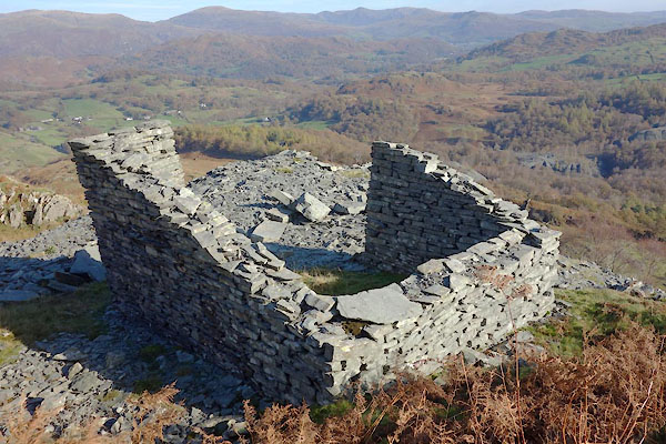
CBZ51.jpg Hut,
(taken 29.10.2014)
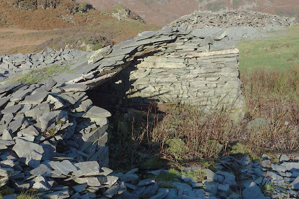
CBZ61.jpg Riving shed,
(taken 29.10.2014)
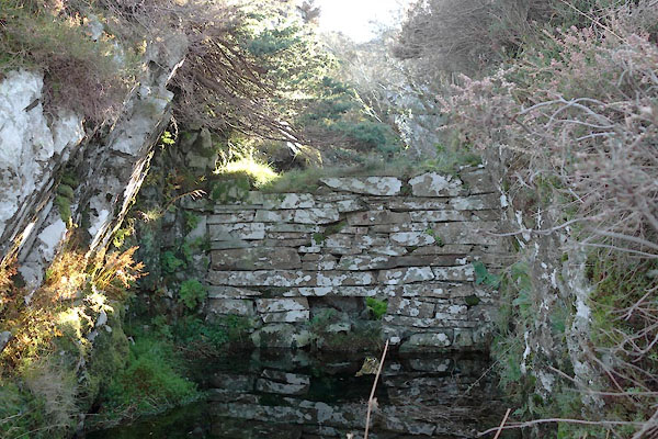
CBZ62.jpg Cutting? and wall,
(taken 29.10.2014)
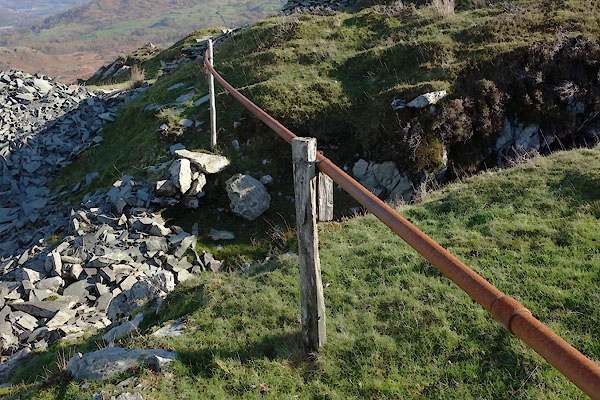
CBZ63.jpg Air pipe?
(taken 29.10.2014)
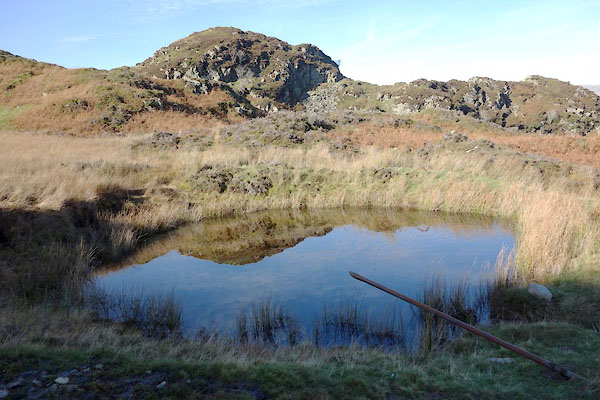
CBZ64.jpg Reservoir?
(taken 29.10.2014)
|
|
|
|
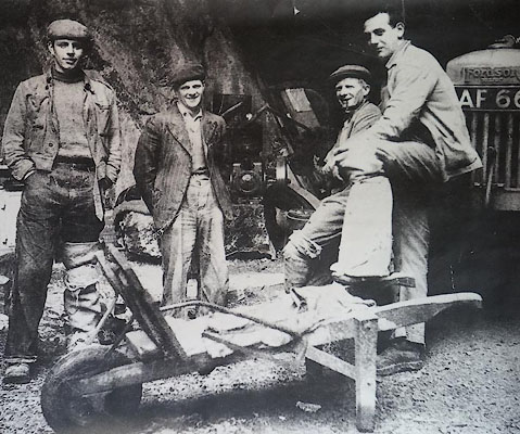
CCX55.jpg Neville Walker's father on the left.
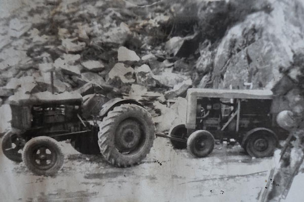
CCX56.jpg Tractor and compressor.
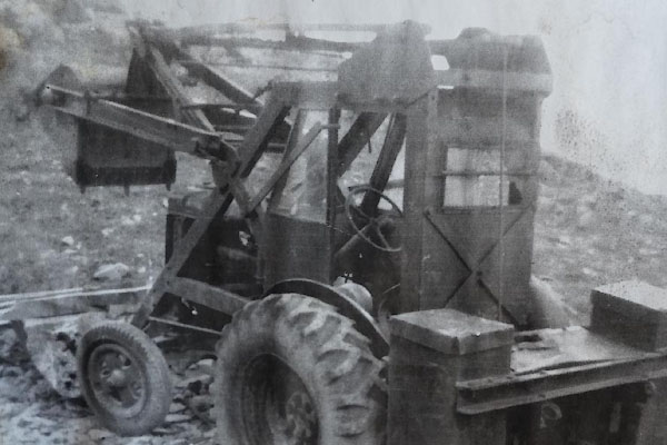
CCX57.jpg Digger.
|
|
|
notes:-
|
My geological knowledge is severely limited, and further confused by the description
of the rock at this quarry. It seems to be of the Ordovician era, in the Borrowdale
Volcanic Group, Seathwaite Fell Formation; 'volcaniclastc sandstone with interbeds
of tuff, lapilli tuff, breccia, and conglomerate'. To me the slate it looks like volcanic
tuff.
|
|
|
|
Glover, David: 2014: Quarries of Lakeland: Bookcase (Carlisle, Cumbria)
|
|
|
| person:- |
: High Fell Green Slate Co
|
| person:- |
quarryman
: Walker, James Neville
|
| date:- |
2015
|
|


 pictures in the workshop


 Lakes Guides menu.