Old Cumbria Gazetteer
 |
 |
|
||
| Bullfell Beck | ||||
| runs into:- |  Glenderamackin, River Glenderamackin, River |
|||
|
|
||||
| civil parish:- | Mungrisdale (formerly Cumberland) | |||
| county:- | Cumbria | |||
| locality type:- | river | |||
| 1Km square:- | NY3430 (etc) | |||
| 10Km square:- | NY33 | |||
|
|
||||
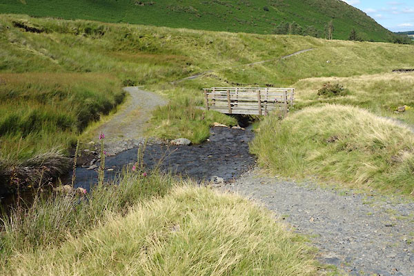
 CDR27.jpg (taken 12.8.2015) 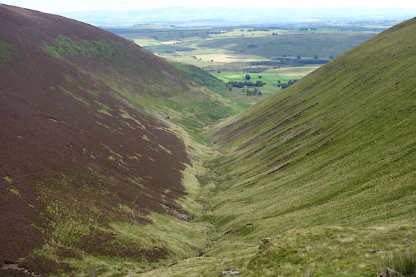 CDR39.jpg (taken 12.8.2015) |
||||
|
|
||||
| evidence:- | old map:- OS County Series (Cmd 57 1) placename:- Bullfell Beck |
|||
| source data:- | Maps, County Series maps of Great Britain, scales 6 and 25
inches to 1 mile, published by the Ordnance Survey, Southampton,
Hampshire, from about 1863 to 1948. |
|||
|
|
||||
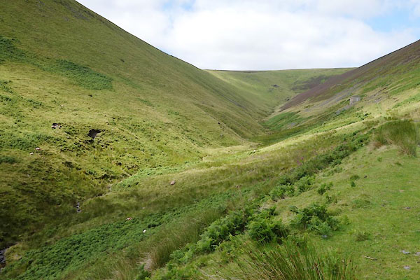
 CDR34.jpg (taken 12.8.2015) 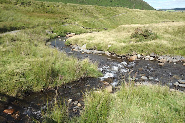 CDR72.jpg meeting the River Glenderamackin. (taken 12.8.2015) |
||||
|
|
||||
| places:- |
|
|||
Lakes Guides menu.