Old Cumbria Gazetteer
 |
 |
|
||
| Glenderamackin, River | ||||
| runs into:- |  Greta, River Greta, River |
|||
|
|
||||
| civil parish:- | Threlkeld (formerly Cumberland) | |||
| civil parish:- | Mungrisdale (formerly Cumberland) | |||
| county:- | Cumbria | |||
| locality type:- | river | |||
| 1Km square:- | NY3426 (etc) | |||
| 10Km square:- | NY32 | |||
|
|
||||
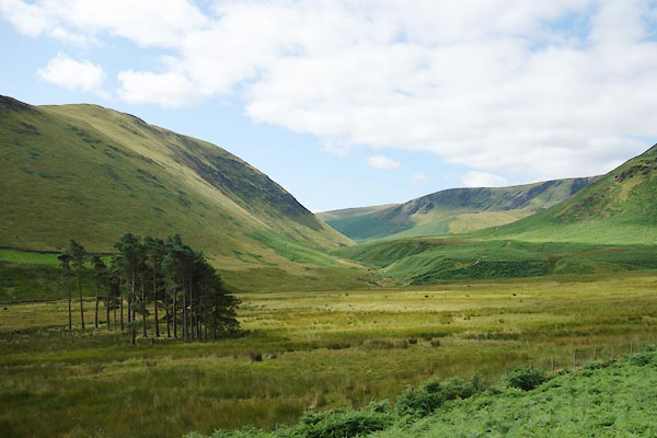
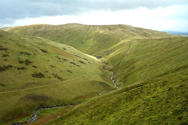 BPC92.jpg In the Bannerdale area. (taken 2.5.2008) 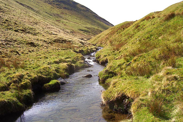 BPC93.jpg In the Bannerdale area. (taken 2.5.2008) |
||||
|
|
||||
| evidence:- | old map:- OS County Series (Cmd 57 10) placename:- Glenderamackin, River |
|||
| source data:- | Maps, County Series maps of Great Britain, scales 6 and 25
inches to 1 mile, published by the Ordnance Survey, Southampton,
Hampshire, from about 1863 to 1948. OS County Series (Cmd 57 13) |
|||
|
|
||||
| evidence:- | old map:- Speed 1611 (Cmd) |
|||
| source data:- | Map, hand coloured engraving, Cumberland and the Ancient Citie
Carlile Described, scale about 4 miles to 1 inch, by John Speed,
1610, published by J Sudbury and George Humble, Popes Head
Alley, London, 1611-12.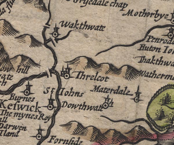 SP11NY32.jpg double line, runs into the Greta item:- private collection : 16 Image © see bottom of page |
|||
|
|
||||
| evidence:- | old map:- Jansson 1646 |
|||
| source data:- | Map, hand coloured engraving, Cumbria and Westmoria, ie
Cumberland and Westmorland, scale about 3.5 miles to 1 inch, by
John Jansson, Amsterdam, Netherlands, 1646.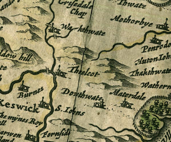 JAN3NY32.jpg Single wiggly line. item:- JandMN : 88 Image © see bottom of page |
|||
|
|
||||
| evidence:- | old map:- Sanson 1679 |
|||
| source data:- | Map, hand coloured engraving, Ancien Royaume de Northumberland
aujourdhuy Provinces de Nort, ie the Ancient Kingdom of
Northumberland or the Northern Provinces, scale about 9.5 miles
to 1 inch, by Nicholas Sanson, Paris, France, 1679. click to enlarge click to enlargeSAN2Cm.jpg tapering wiggly line; river item:- Dove Cottage : 2007.38.15 Image © see bottom of page |
|||
|
|
||||
| evidence:- | old text:- Gents Mag placename:- Lendermacken |
|||
| source data:- | Magazine, The Gentleman's Magazine or Monthly Intelligencer or
Historical Chronicle, published by Edward Cave under the
pseudonym Sylvanus Urban, and by other publishers, London,
monthly from 1731 to 1922. goto source Gentleman's Magazine 1747 p.523 "[on a journey to Caldbeck Fells] ..." "At Grisedale the water turns bothways, so that in a sudden shower you may with your foot only, send the rain-water, either to Carlisle or Cockermouth, by the channels of Cauda or Lender-maken. This last springs under Saddle back, ..." |
|||
|
|
||||
| evidence:- | old map:- Gents Mag 1747 placename:- Lendermaken Water |
|||
| source data:- | Map, uncoloured engraving, perspective view, Caudbeck Fells ie
Caldbeck Fells, scale about 1+ miles to 1 inch, published in the
Gentleman's Magazine, 1747.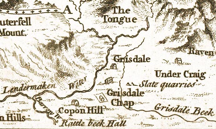 GM1403.jpg "Lendermaken Water" tapering wiggly line; the "Grisdale Beck" is less easy to explain item:- Carlisle Library : Map 43 Image © Carlisle Library |
|||
|
|
||||
| evidence:- | old text:- Gents Mag 1747 placename:- Lendermaken |
|||
| source data:- | Map, perspective view, Caudbeck Fells ie Caldbeck Fells, scale about 1+ miles to 1
inch, and descriptive text, published in the Gentleman's Magazine, November 1747. goto source Page 523:- "... Lender-maken. This last springs under Saddle back, ..." |
|||
|
|
||||
| evidence:- | old map:- Donald 1774 (Cmd) placename:- Glenderamacken |
|||
| source data:- | Map, hand coloured engraving, 3x2 sheets, The County of Cumberland, scale about 1
inch to 1 mile, by Thomas Donald, engraved and published by Joseph Hodskinson, 29
Arundel Street, Strand, London, 1774.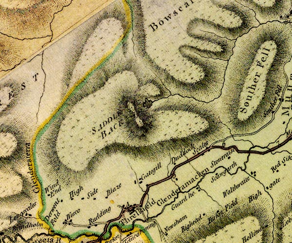 D4NY32NW.jpg "Glenderamacken" single or double wiggly line; a river item:- Carlisle Library : Map 2 Image © Carlisle Library |
|||
|
|
||||
| evidence:- | old map:- West 1784 map placename:- Glenderamakin |
|||
| source data:- | Map, hand coloured engraving, A Map of the Lakes in Cumberland,
Westmorland and Lancashire, scale about 3.5 miles to 1 inch,
engraved by Paas, 53 Holborn, London, about 1784.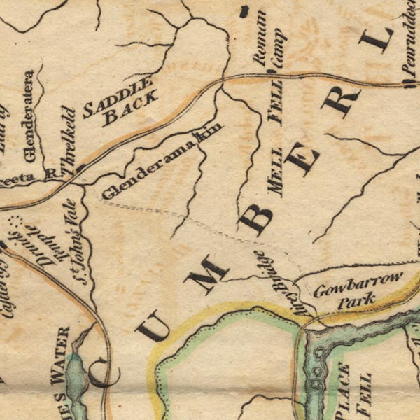 Ws02NY32.jpg item:- Armitt Library : A1221.1 Image © see bottom of page |
|||
|
|
||||
| evidence:- | old text:- Clarke 1787 placename:- Glendower Meckine |
|||
| source data:- | Guide book, A Survey of the Lakes of Cumberland, Westmorland,
and Lancashire, written and published by James Clarke, Penrith,
Cumberland, and in London etc, 1787; published 1787-93. goto source Page 62:- "... the river Greeta, which contains the waters of ... Glendower-Meckine, ... ..." |
|||
|
|
||||
| evidence:- | old map:- Clarke 1787 map (Penrith to Keswick) placename:- Glendermeckin River |
|||
| source data:- | Map, A Map of the Roads, Waters &c between Penrith and Keswick, scale about 2 ins
to 1 mile, by James Clarke, engraved by S J Neele, 352 Strand, published by James
Clarke, Penrith, Cumberland and in London etc, 1787.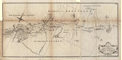 click to enlarge click to enlargeCL05.jpg "GLENDERMECKIN RIVER" item:- private collection : 10.5 Image © see bottom of page |
|||
|
|
||||
| evidence:- | descriptive text:- Otley 1823 (5th edn 1834) placename:- Glenderamakin item:- depth, Scales Tarn; volcano; caldera |
|||
| source data:- | Guide book, A Concise Description of the English Lakes, the
mountains in their vicinity, and the roads by which they may be
visited, with remarks on the mineralogy and geology of the
district, by Jonathan Otley, published by the author, Keswick,
Cumberland now Cumbria, by J Richardson, London, and by Arthur
Foster, Kirkby Lonsdale, Cumbria, 1823; published 1823-49,
latterly as the Descriptive Guide to the English Lakes. goto source Page 38:- "Scales Tarn ... Its stream, nearly encompassing Souterfell, is called the Glenderamakin, which, passing Threlkeld, joins that from Thirlmere to form the Greta." |
|||
|
|
||||
| evidence:- | descriptive text:- Ford 1839 (3rd edn 1843) placename:- Glenderamaken |
|||
| source data:- | Guide book, A Description of Scenery in the Lake District, by
Rev William Ford, published by Charles Thurnam, Carlisle, by W
Edwards, 12 Ave Maria Lane, Charles Tilt, Fleet Street, William
Smith, 113 Fleet Street, London, by Currie and Bowman,
Newcastle, by Bancks and Co, Manchester, by Oliver and Boyd,
Edinburgh, and by Sinclair, Dumfries, 1839. goto source Page 94:- "..." "... the valley, through which winds the Glenderamaken; a small stream trickling out of a dreary waste is seen joining it; its banks are fringed with wood and enclosures, chiefly corn-fields spotted with farm-steads, and spread a short distance on each side, overlooked by White Pike; and in the west, the mountains beyond Keswick rise in majestic array. ..." |
|||
|
|
||||
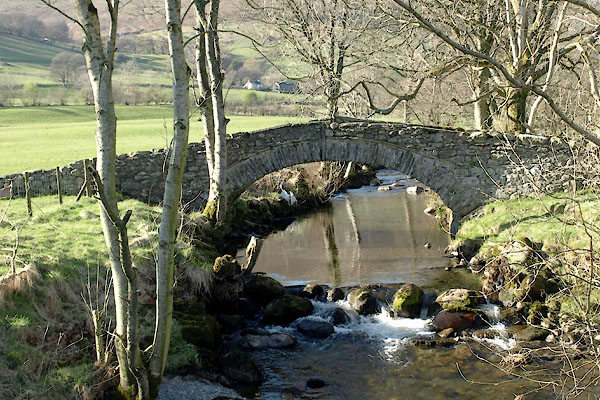
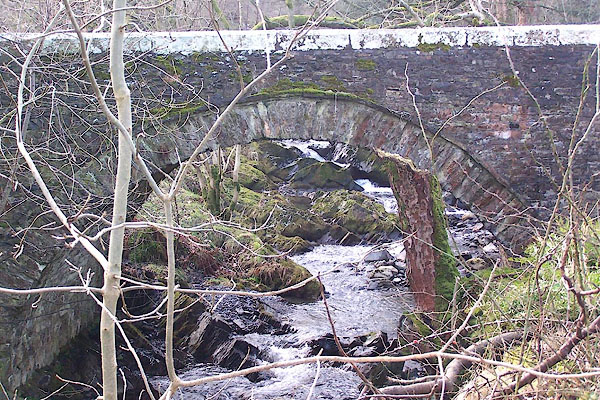
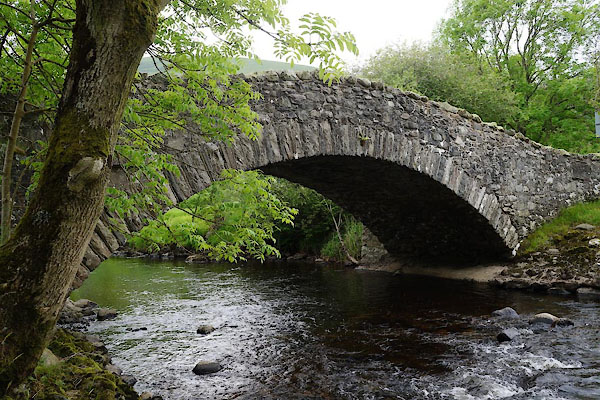
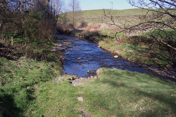
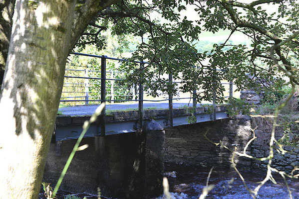
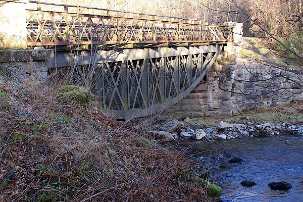
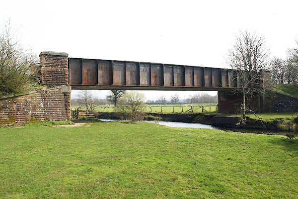
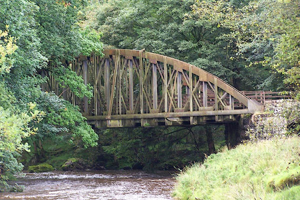
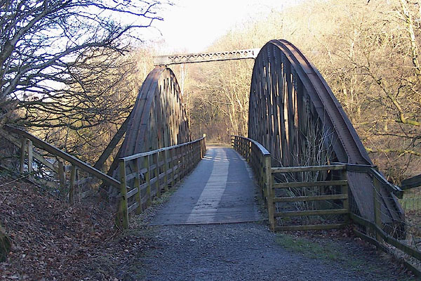
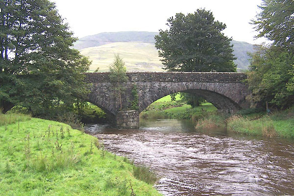
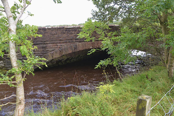
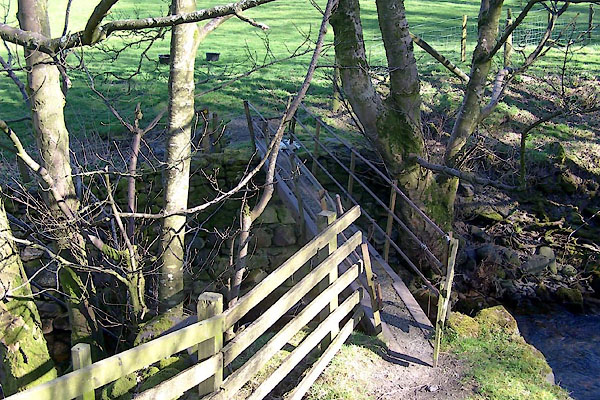
 CDR25.jpg Valley, Mungrisdale. (taken 12.8.2015) 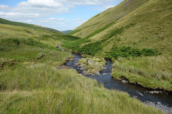 CDR63.jpg At meeting with Bannerdale Beck, (taken 12.8.2015) 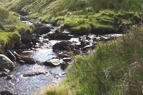 CDR64.jpg At meeting with Bannerdale Beck, (taken 12.8.2015) 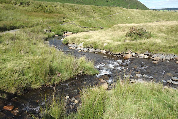 CDR72.jpg At meeting with Bullfell Beck, (taken 12.8.2015) 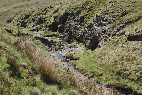 CDI51.jpg (taken 11.6.2015) 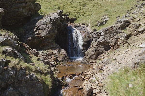 CDI57.jpg Waterfall, (taken 11.6.2015) 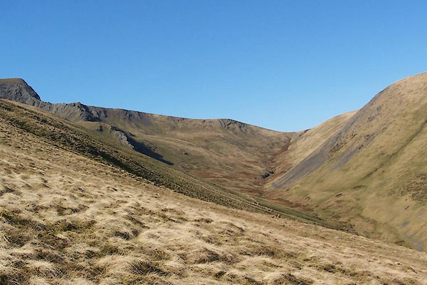 BWD97.jpg (taken 26.3.2012) 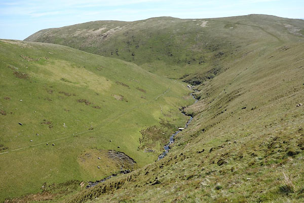 CDI36.jpg (taken 11.6.2015) 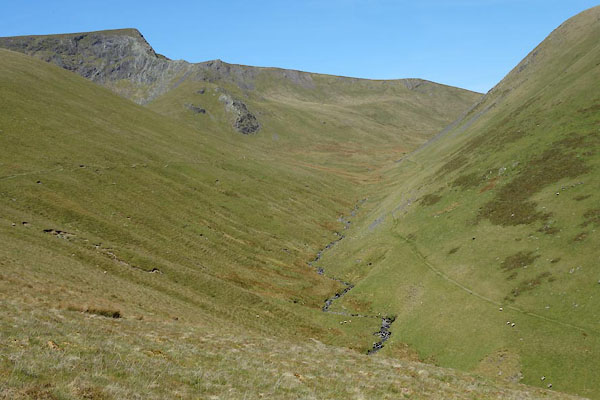 CDI37.jpg (taken 11.6.2015) 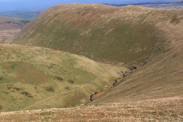 BWD95.jpg by Souther Fell. (taken 26.3.2012) 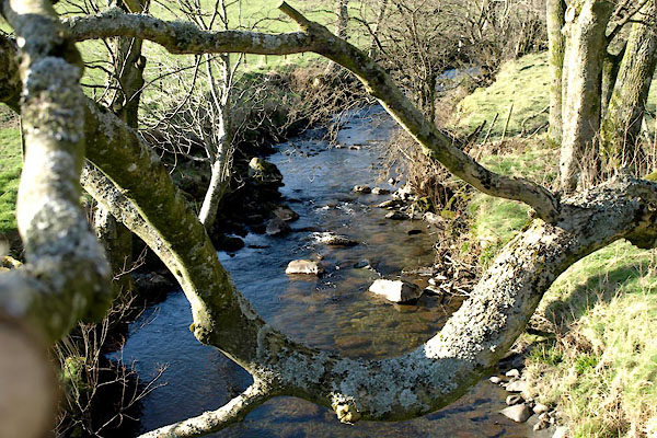 BWD80.jpg At a bridge, (taken 26.3.2012) 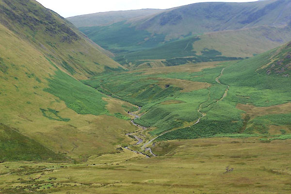 BVC92.jpg At Mungrisdale, (taken 3.8.2011) 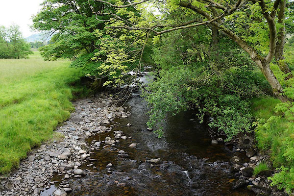 CAX26.jpg At Dobson's Bridge, (taken 13.6.2014) 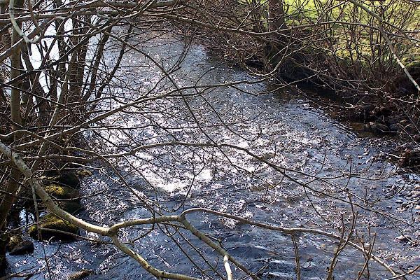 BNK56.jpg From Lamb Bridge. (taken 24.3.2007) 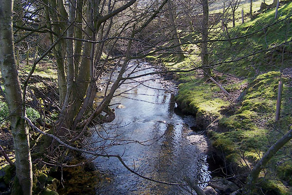 BWE09.jpg From the footbridge (taken 26.3.2012) 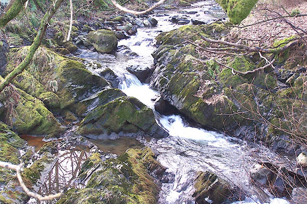 BLP65.jpg From the bridge at Beckside. (taken 4.2.2006) 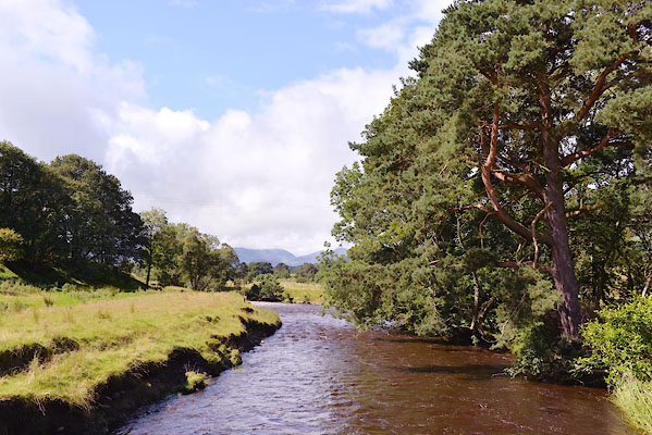 CGJ41.jpg At Guardhouse Bridge. (taken 15.8.2017) 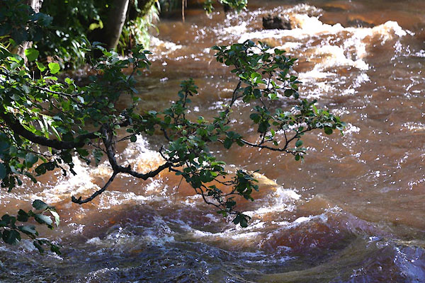 CGJ42.jpg At Guardhouse Bridge. (taken 15.8.2017) 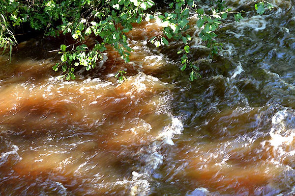 CGJ43.jpg At Guardhouse Bridge. (taken 15.8.2017) 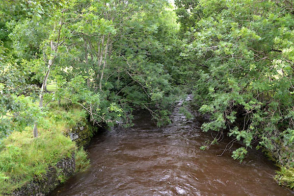 CGJ51.jpg At Townfield Bridge. (taken 15.8.2017) 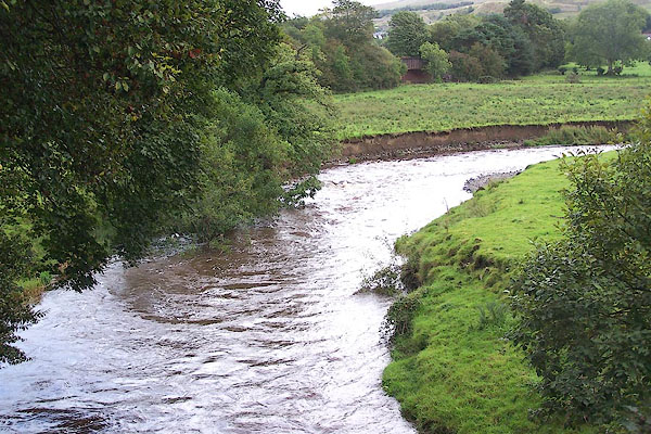 BMR22.jpg From Threlkeld Bridge. (taken 19.9.2006) 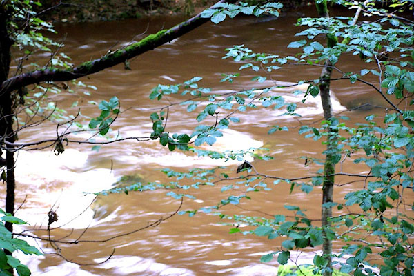 BMR23.jpg In the woods below Threlkeld Bridge. (taken 19.9.2006) 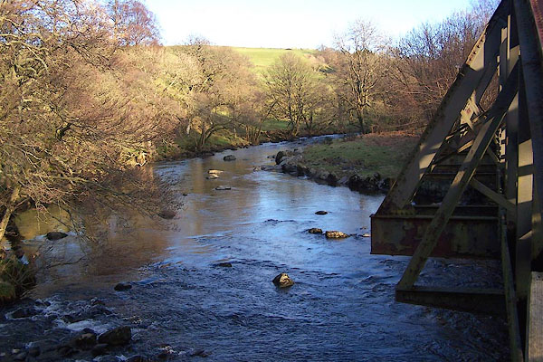 BNE75.jpg At the railway bridge. The join of the Glenderaterra and Glenderamackin rivers. (taken 17.2.2007) 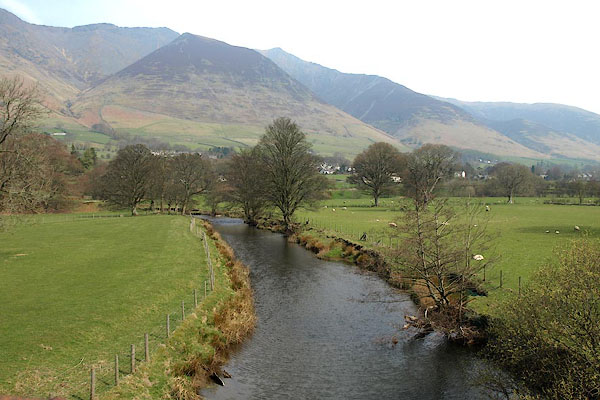 BPB86.jpg At the railway bridge. (taken 22.4.2008) |
||||
|
|
||||
| places:- |
|
|||
|
||||
|
||||
|
||||
|
||||
|
||||
|
||||
|
||||
|
||||
|
||||
|
||||
|
||||
|
||||
|
||||
|
||||
|
||||
|
||||
Lakes Guides menu.