 Old Cumbria Gazetteer
 |
 |
|
| Dobson's Bridge, Threlkeld | ||
| Dobson's Bridge | ||
| site name:- | Glenderamackin, River | |
| civil parish:- | Threlkeld (formerly Cumberland) | |
| county:- | Cumbria | |
| locality type:- | bridge | |
| coordinates:- | NY34982646 | |
| 1Km square:- | NY3426 | |
| 10Km square:- | NY32 | |
|
|
||
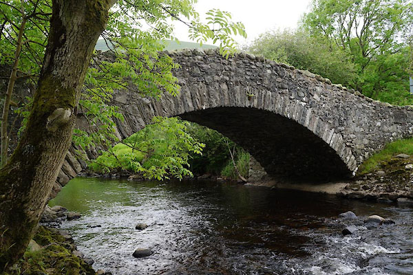 CAX25.jpg (taken 13.6.2014) |
||
|
|
||
| evidence:- | old map:- OS County Series (Cmd 57 13) placename:- Dobson's Bridge |
|
| source data:- | Maps, County Series maps of Great Britain, scales 6 and 25
inches to 1 mile, published by the Ordnance Survey, Southampton,
Hampshire, from about 1863 to 1948. |
|
|
|
||
| evidence:- | database:- Listed Buildings 2010 placename:- Dobson's Bridge |
|
| source data:- | courtesy of English Heritage "DOBSON'S BRIDGE / / / THRELKELD / EDEN / CUMBRIA / II / 73569 / NY3498526463" |
|
| source data:- | courtesy of English Heritage "Roadbridge. Late C18 or early C19. Rubble stone. Single wide arch, with alternating thick and thin voussoirs, supports pointed parapet with rough coping. 4 stout buttresses support the abutments." |
|
|
|
||
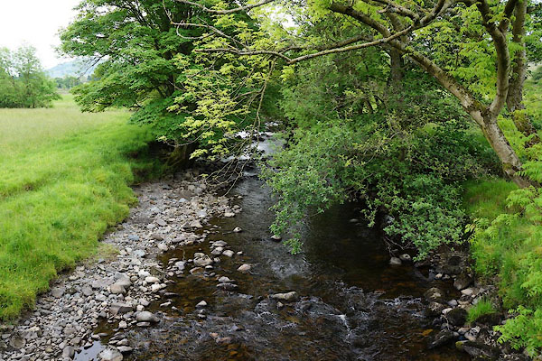 CAX26.jpg View of river. (taken 13.6.2014) |
||
|
|
||
 Lakes Guides menu.