 Old Cumbria Gazetteer
 |
 |
|
| Sands, Carlisle | ||
| locality:- | Carlisle | |
| civil parish:- | Carlisle (formerly Cumberland) | |
| county:- | Cumbria | |
| locality type:- | locality | |
| coordinates:- | NY40185648 (etc) | |
| 1Km square:- | NY4056 | |
| 10Km square:- | NY45 | |
|
|
||
| evidence:- | old map:- OS County Series (Cmd 23 3) placename:- Sands |
|
| source data:- | Maps, County Series maps of Great Britain, scales 6 and 25
inches to 1 mile, published by the Ordnance Survey, Southampton,
Hampshire, from about 1863 to 1948. "Sands (Catttle Fair Ground)" |
|
|
|
||
| evidence:- | old map:- Donald 1774 (Cmd) |
|
| source data:- | Map, hand coloured engraving, 3x2 sheets, The County of Cumberland, scale about 1
inch to 1 mile, by Thomas Donald, engraved and published by Joseph Hodskinson, 29
Arundel Street, Strand, London, 1774.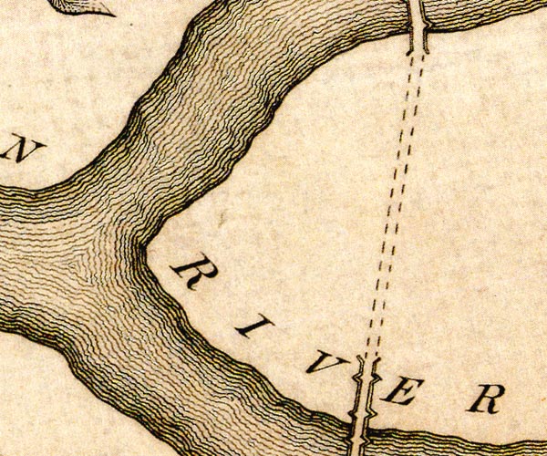 D44056C.jpg 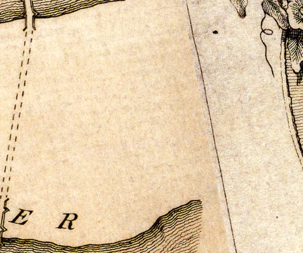 D44056H.jpg island in the Eden item:- Carlisle Library : Map 2 Images © Carlisle Library |
|
|
|
||
| evidence:- | old painting:- item:- cattle; market |
|
| source data:- | Painting, watercolour, The Cattle Market, The Sands, Carlisle, Cumberland, by William
Henry Nutter, 1864.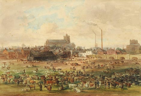 click to enlarge click to enlargePR0973.jpg Farmers and their cattle are gathered on the Sands, beyond which lies the city with cathedral and smoking chimneys in centre of composition and castle to right beyond bridge spanning the river Eden. signed &dated at bottom left:- "W H Nutter 1864" item:- Tullie House Museum : 1956.92 Image © Tullie House Museum |
|
|
|
||
 Lakes Guides menu.