


 road, Lancaster to Ulverston
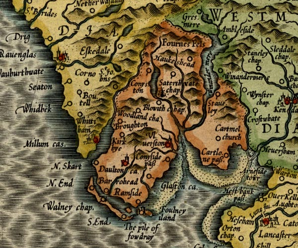
placename:- Conyside Pass
MER5LanA.jpg
"Conyside pass"
circle
item:- Armitt Library : 2008.14.3
Image © see bottom of page
BO18SD27.jpg
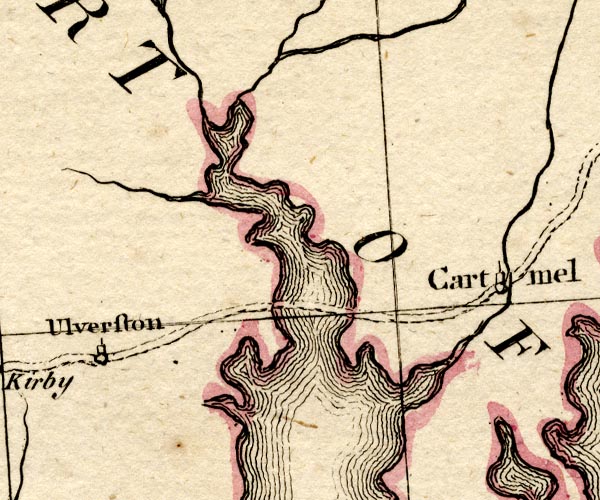
double line, dotted
item:- Armitt Library : 2008.14.10
Image © see bottom of page
placename:- Leven Sands
placename:- Ulverston Sands
Ws02SD27.jpg
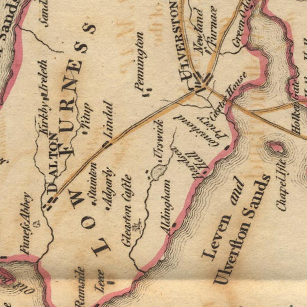
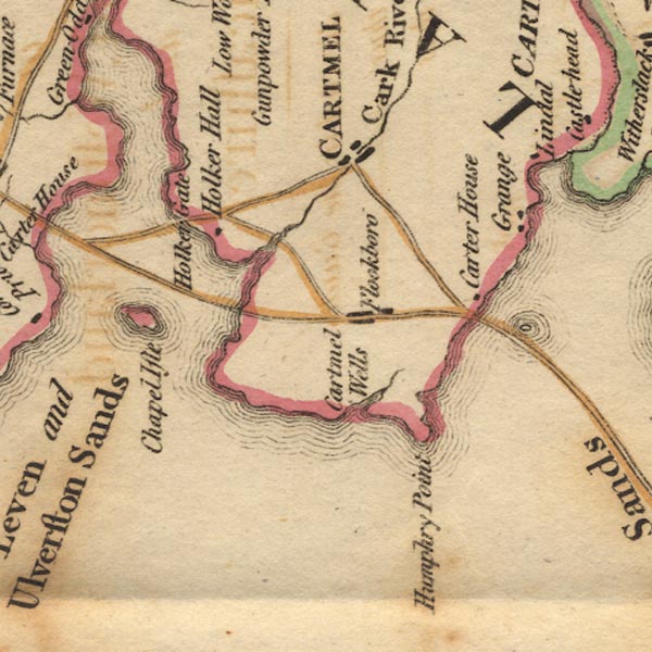
"Leven and Ulverston Sands"
Ws02SD37.jpg
item:- Armitt Library : A1221.1
Image © see bottom of page
 goto source
 click to enlarge
C38317.jpg
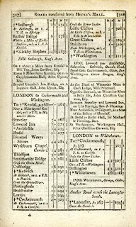
page 317-318 "[LONDON to Whitehaven.] Another Road across Lancaster Sands."
 goto source
 click to enlarge
C38319.jpg
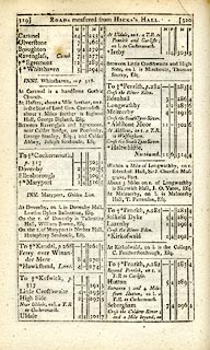
page 319-320
part of
item:- JandMN : 228.1
Image © see bottom of page
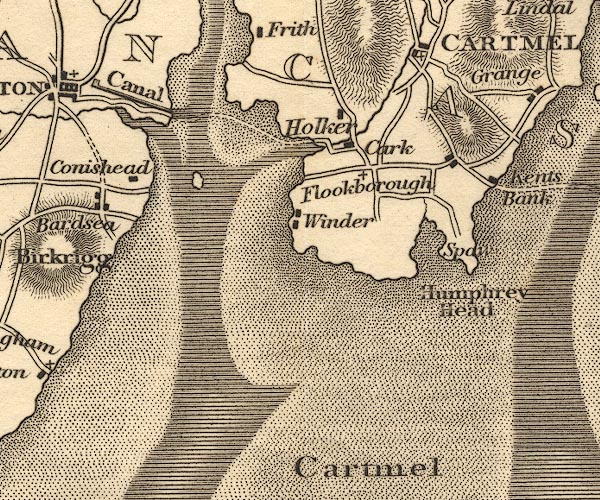
placename:- Leven Sands
pp.25-26:- "... and thence [Cartmel] proceed by Lever Sands to Ulvernton, Dalton, ..."
OT02SD37.jpg
Drawn by a double dotted line across the estuary.
item:- JandMN : 48.1
Image © see bottom of page
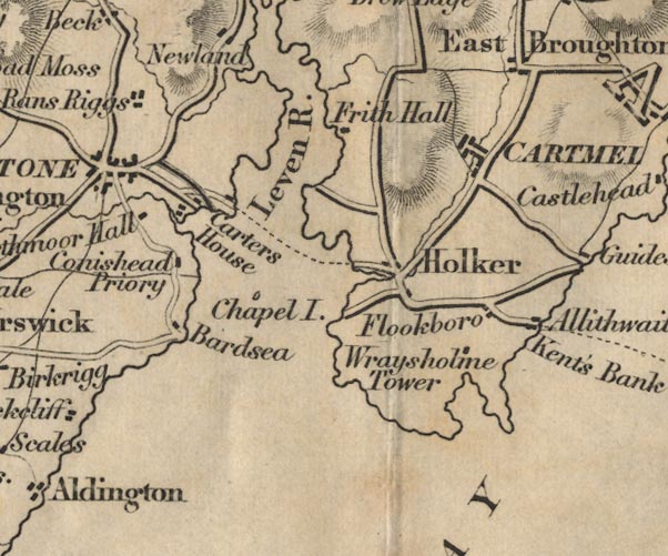
placename:- Leven Sands
 goto source
Page 4:- "..."
"Between this place [Holker] and Ulverstone, the Leven Sands must be crossed, which are very dangerous in consequence of their constant shifting, and are three miles in breadth."
 goto source
Page 156:- "..."
"Leven Sands are fordable at low water, and are about three miles in breadth. Splendid views are obtained in crossing them, as they are bounded by the woods of Holker Hall and Conishead Priory, and closed in by a nucleus of mountains, of which the Man Mountain is the most conspicuous."
FD02SD37.jpg
From near Holker to the Carters House below Ulverston.
item:- JandMN : 100.1
Image © see bottom of page
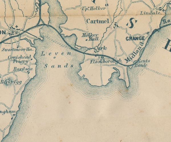
GAR2SD37.jpg
double dotted line
item:- JandMN : 82.1
Image © see bottom of page
HP01p088.txt
Page 88:- "... 1325, when the Abbot of Furness petitioned the King that his jurisdiction might be extended in this district, to comprehend"
HP01p089.txt
Page 89:- "the Leven Sands, which were so dangerous that many travellers, sixteen on one occasion, and six on another, had been overtaken by the tide, and drowned. His petition was granted, and the Abbot established, on an island half-way across the estuary, a little chapel in which the monks prayed all round the twenty-four hours for the safety, or for the souls, as the case might be, of those who sought to cross. It is, however, scarce to be supposed that the Abbey privileges would have been thus extended had the aid to travellers been merely that of prayers. A more practical note was the addition of a lighthouse, or beacon tower, to the chapel, combined with the readiness of the monks to guide strangers. Since 1820, the guide across Leven Sands has received an annual salary of ~22 from the Duchy of Lancaster, with a grant of three acres of land. He enjoys, in addition, under the provisions of the Ulverstone and Lancaster Railway Act of 1851, a further ~20 a year, in compensation for loss of fees caused by the opening of the railway; for although he is a public official, he commonly received gifts and free-will fees from those he guided across in pre-railway days"
"... but the Sands every now and then claimed their victims. Thus, in the registers of Cartmel may be read the following tragical entries:"
"..."
HP01p090.txt
Page 90:- "..."
""1610, Feb. 4, John ffell, son of Augustine, of Birkbie, drowned on Conysed Sands.""
"..."
HP01p091.txt
Page 91:- "..."
"A narrow escape was that of Major Bigland, who was crossing one dark evening in his gig from Lancaster, intending to reach Cartmel. He drove towards the sea instead, and only by extreme good fortune managed to land near Conishead. ... in 1846, nine merry holiday-makers, returning from the Whitsun fair at Ulverston, drove into a treacherous spot near Black Scar, on the Leven Sands, and were all immediately drowned: ..."
 Sand Gate, Lower Holker
 Canal Foot, Ulverston