 |
 |
|
|
|
|
Canal Foot |
| locality:- |
sands road, Cartmel Sands |
| locality:- |
Ulverston |
| civil parish:- |
Ulverston (formerly Lancashire) |
| county:- |
Cumbria |
| locality type:- |
locality |
| locality type:- |
buildings |
| coordinates:- |
SD31347767 (etc) |
| 1Km square:- |
SD3177 |
| 10Km square:- |
SD37 |
|
|
|
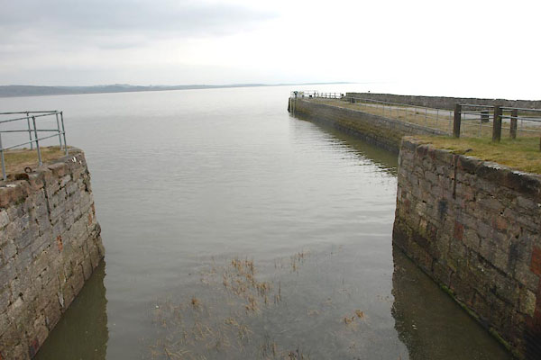
BYC92.jpg (taken 11.4.2013)
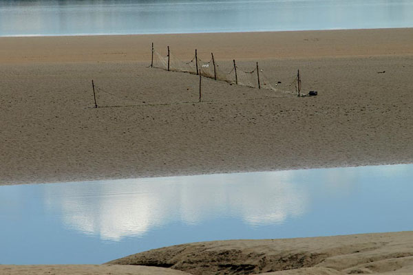
BPO61.jpg Fishing nets (and camera club clouds).
(taken 8.8.2008)
|
|
|
| evidence:- |
old map:- OS County Series (Lan 16 4)
placename:- Canal Foot
|
| source data:- |
Maps, County Series maps of Great Britain, scales 6 and 25
inches to 1 mile, published by the Ordnance Survey, Southampton,
Hampshire, from about 1863 to 1948.
|
|
|
|
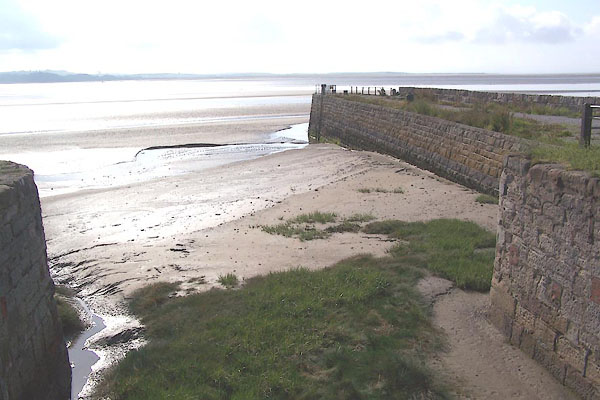
BMJ01.jpg Pier.
(taken 10.7.2006)
|
|
|
| places:- |
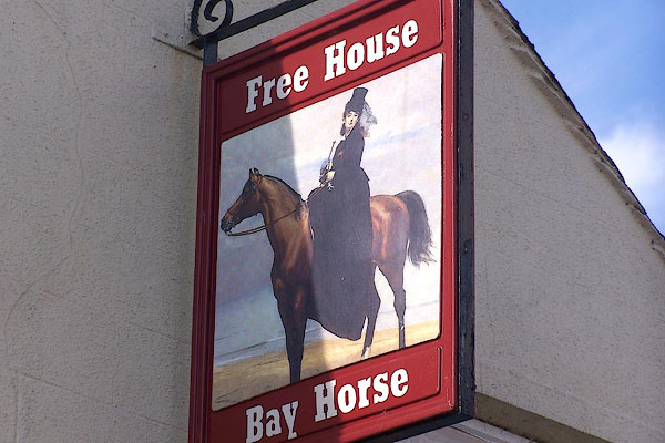 |
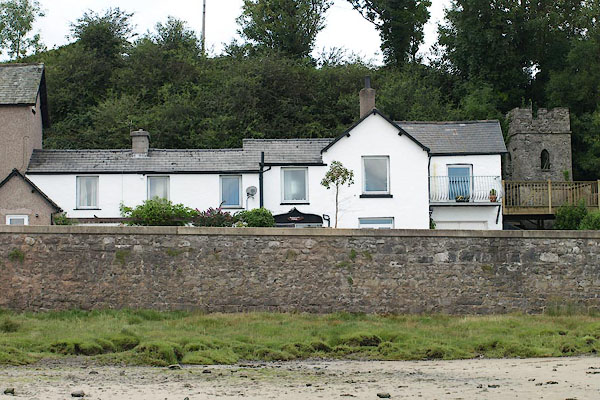
SD31327764 Bay Horse (Ulverston) |
|
|
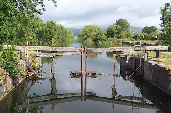 |
SD31317768 canal lock, Ulverston (Ulverston) L |
|
|
 |
SD3177 Carter House (Ulverston) |
|
|
 |
SD31337750 Hammerside Cottage (Ulverston) |
|
|
|
SD31327745 Hammerside Point (Ulverston) |
|
|
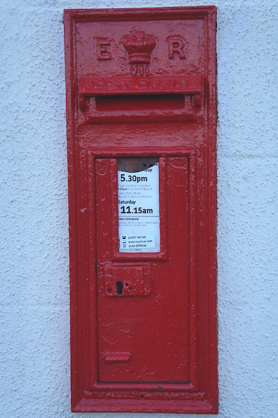 |
SD31327764 post box, Ulverston (2) (Ulverston) |
|
