 Old Cumbria Gazetteer
 |
 |
|
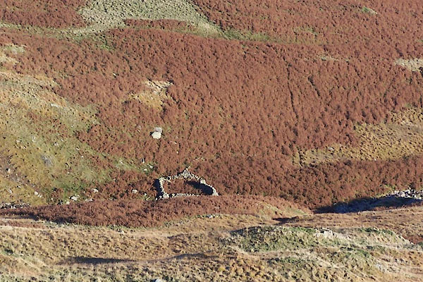
| sheepfold, Bampton | ||
| site name:- | Randale Beck (near) | |
| civil parish:- | Bampton (formerly Westmorland) | |
| county:- | Cumbria | |
| locality type:- | sheepfold | |
| coordinates:- | NY46601254 | |
| 1Km square:- | NY4612 | |
| 10Km square:- | NY41 | |
|
|
||
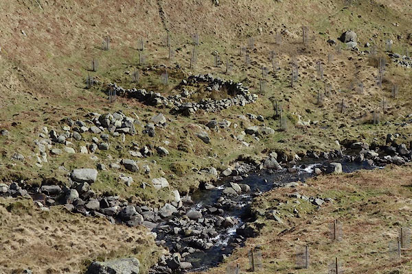 CAE19.jpg (taken 24.3.2014) 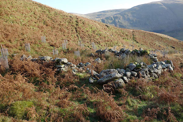 BZR28.jpg (taken 12.11.2013) |
||
|
|
||
| evidence:- | old map:- OS County Series (Wmd 20) |
|
| source data:- | Maps, County Series maps of Great Britain, scales 6 and 25
inches to 1 mile, published by the Ordnance Survey, Southampton,
Hampshire, from about 1863 to 1948. "Sheepfold" |
|
|
|
||
 BTS85.jpg (taken 20.10.2010) 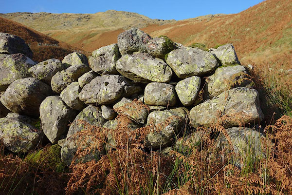 BZR29.jpg Walling. (taken 12.11.2013) |
||
|
|
||
 Lakes Guides menu.