Old Cumbria Gazetteer
 |
 |
|
||
| Randale Beck | ||||
| runs into:- |  Hawes Water Hawes Water |
|||
|
|
||||
| locality:- | Mardale | |||
| civil parish:- | Bampton (formerly Westmorland) | |||
| county:- | Cumbria | |||
| locality type:- | river | |||
| 1Km square:- | NY4612 (etc) | |||
| 10Km square:- | NY41 | |||
|
|
||||
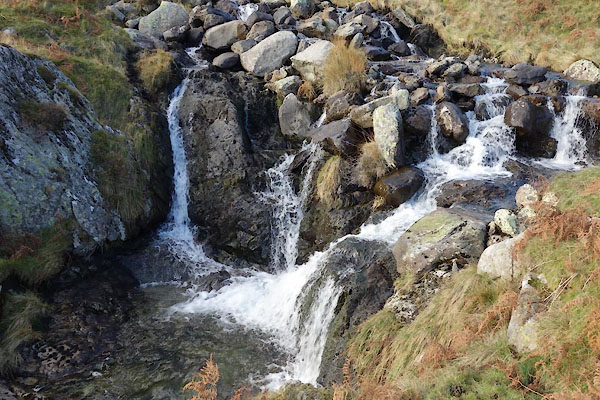
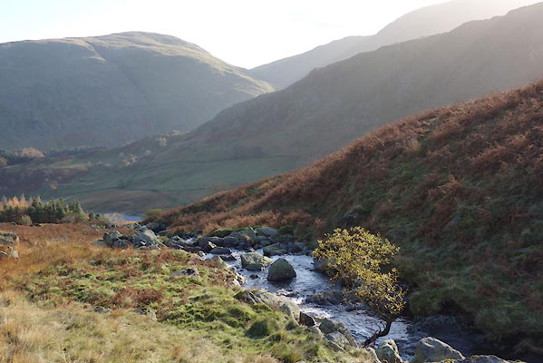 BZR27.jpg (taken 12.11.2013) 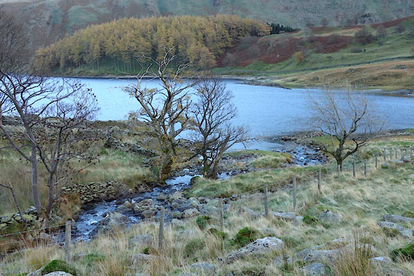 BZR19.jpg running into Hawes Water. (taken 12.11.2013) |
||||
|
|
||||
| evidence:- | old map:- OS County Series (Wmd 20 2) placename:- Randale Beck |
|||
| source data:- | Maps, County Series maps of Great Britain, scales 6 and 25
inches to 1 mile, published by the Ordnance Survey, Southampton,
Hampshire, from about 1863 to 1948. |
|||
|
|
||||
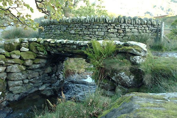
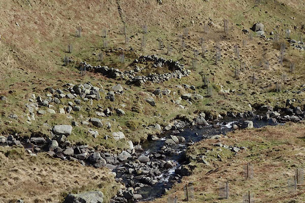
 BZR30.jpg (taken 12.11.2013) 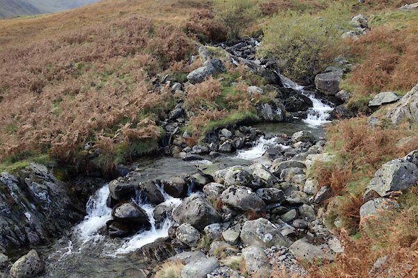 BZR23.jpg (taken 12.11.2013) 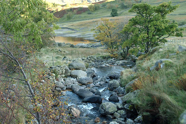 BTS07.jpg At the footbridge, running into Hawes Water. (taken 20.10.2010) 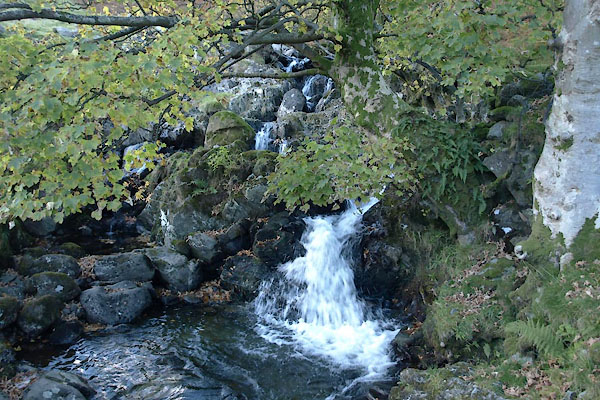 BTS06.jpg At the footbridge, (taken 20.10.2010) 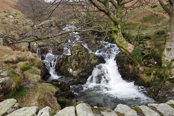 BZW39.jpg At the footbridge, (taken 10.2.2014) 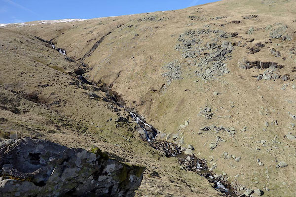 CAE14.jpg (taken 24.3.2014) 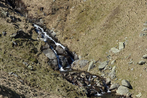 CAE15.jpg (taken 24.3.2014) 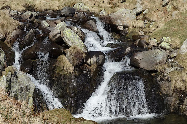 CAE16.jpg (taken 24.3.2014) |
||||
|
|
||||
| places:- |
|
|||
|
||||
Lakes Guides menu.