 Old Cumbria Gazetteer
 |
 |
|
| Carleton Green, Carleton | ||
| Carleton Green | ||
| locality:- | Carleton | |
| civil parish:- | Drigg and Carleton (formerly Cumberland) | |
| county:- | Cumbria | |
| locality type:- | buildings | |
| coordinates:- | SD08209859 | |
| 1Km square:- | SD0898 | |
| 10Km square:- | SD09 | |
| references:- | Listed Buildings 2010 |
|
|
|
||
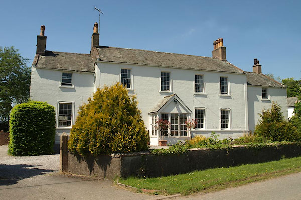 BYL92.jpg (taken 4.6.2013) |
||
|
|
||
| evidence:- | old map:- OS County Series (Cmd 82 3) placename:- Carleton Green |
|
| source data:- | Maps, County Series maps of Great Britain, scales 6 and 25
inches to 1 mile, published by the Ordnance Survey, Southampton,
Hampshire, from about 1863 to 1948. |
|
|
|
||
| evidence:- | database:- Listed Buildings 2010 placename:- Carelton Green |
|
| source data:- | courtesy of English Heritage "CARELTON GREEN / / / DRIGG AND CARLETON / COPELAND / CUMBRIA / II / 76316 / SD0820798598" |
|
|
|
||
 Lakes Guides menu.