 Old Cumbria Gazetteer
 |
 |
|
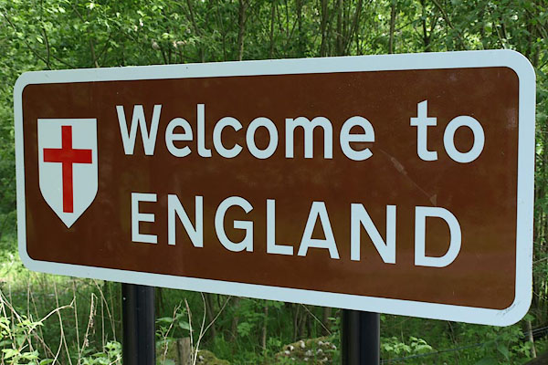
| boundary sign, Kershopefoot | ||
| locality:- | Kershopefoot | |
| civil parish:- | Nicholforest (formerly Cumberland) | |
| county:- | Cumbria | |
| locality type:- | boundary sign | |
| locality type:- | county boundary mark | |
| locality type:- | national boundary mark | |
| locality type:- | roadsign | |
| coordinates:- | NY47538289 | |
| 1Km square:- | NY4782 | |
| 10Km square:- | NY48 | |
| country:- | Scotland | |
|
|
||
 BSW02.jpg (taken 4.6.2010) 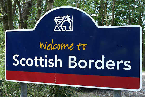 BSW01.jpg (taken 4.6.2010) |
||
| The boundary is the Liddel Water, 100 yards down the slope. |
||
|
|
||
 Lakes Guides menu.