 Old Cumbria Gazetteer
 |
 |
|
| Thornthwaite Force, Bampton | ||
| Thornthwaite Force | ||
| site name:- | Haweswater Beck | |
| civil parish:- | Bampton (formerly Westmorland) | |
| civil parish:- | Shap Rural (formerly Westmorland) | |
| county:- | Cumbria | |
| locality type:- | waterfall | |
| coordinates:- | NY51111602 | |
| 1Km square:- | NY5116 | |
| 10Km square:- | NY51 | |
|
|
||
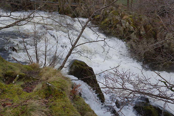 BZT21.jpg (taken 28.12.2013) 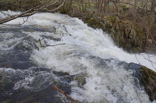 BZT22.jpg (taken 28.12.2013) |
||
|
|
||
| evidence:- | old map:- OS County Series (Wmd 13 12) placename:- Thornthwaite Force |
|
| source data:- | Maps, County Series maps of Great Britain, scales 6 and 25
inches to 1 mile, published by the Ordnance Survey, Southampton,
Hampshire, from about 1863 to 1948. |
|
|
|
||
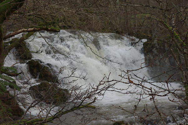 BZT31.jpg (taken 28.12.2013) 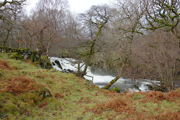 BZT32.jpg (taken 28.12.2013) 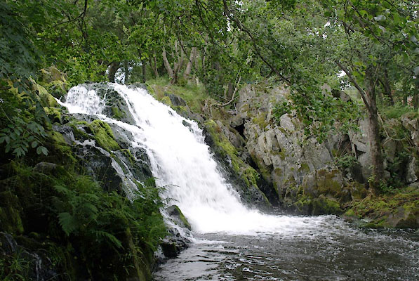 BTH91.jpg (taken 11.8.2010) 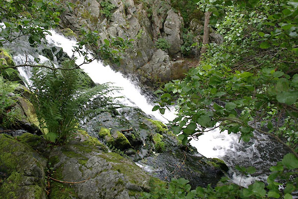 BTH92.jpg (taken 11.8.2010) |
||
|
|
||
 Lakes Guides menu.